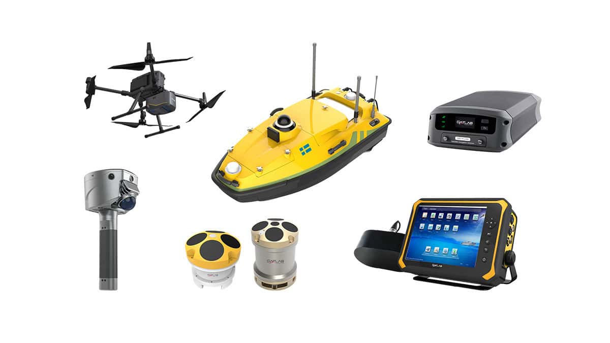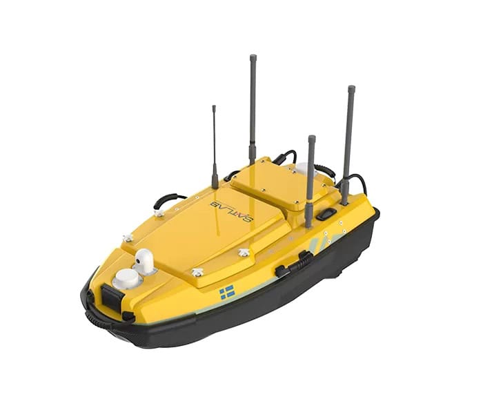



SatLab Geosolutions has demonstrated the capabilities of its HydroBoat 1200 Unmanned Surface Vehicle (USV) and HydroBeam M2 multibeam echosounder in a land reclamation monitoring project in 2026, delivering high-precision seabed surveys in challenging shallow-water conditions.
Deployed in an undisclosed country, the integrated solution was used to periodically survey a reclamation area spanning more than 5,000 hectares, including water depths of less than 0.5m. Traditional manned vessel-based multibeam operations were limited in these conditions, making an alternative survey approach necessary.
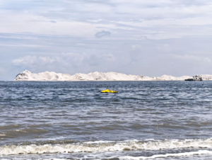
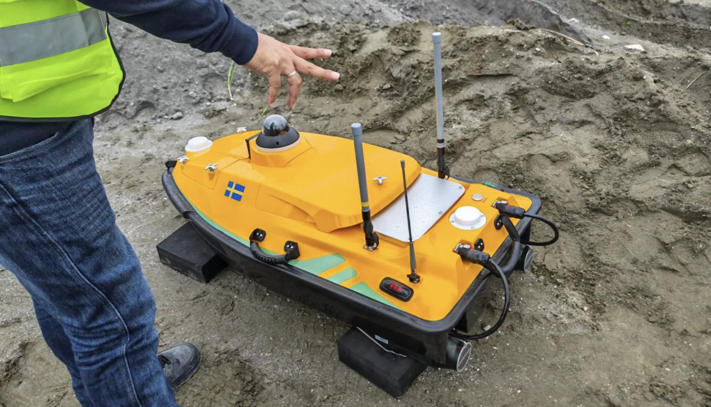
Operators use a controller to direct the USV to collect data.
The system combined rapid five-minute setup with Android-based operation through SatLab’s SLHydro USV software, eliminating the need for a laptop. Auto-SPIN simplified sound velocity operations, while Auto-Survey automatically generated survey lines based on the required overlap rate.
The solution directly produced XYZ point cloud data, with results meeting IHO Special Order accuracy requirements and matching the client’s existing survey data. The project successfully passed acceptance, demonstrating the system’s suitability for efficient, repeatable land reclamation monitoring.
Read Multibeam Survey for Land Reclamation Progress Monitoring.