Deep Trekker SPECTRA
HP MJF for Unmanned Systems

Stelion Systems

verified This business has been claimed by Stelion Systems and verified by UST.
Verified companies work with us to ensure we display the most up-to-date and comprehensive product information, articles and other material to help you choose the right solution for your requirements.
Celestial Navigation Sensors for GNSS-Denied Unmanned Systems Spain
Visit Website
Saved
Save
Contact
Stelion Systems

Celestial Navigation Sensors for GNSS-Denied Unmanned Systems

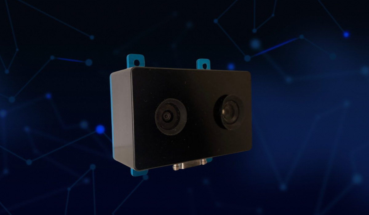
Stelion Systems develops celestial navigation technology for UAVs, uncrewed vessels and autonomous platforms operating in GNSS-denied and degraded environments. Using optical observations of the Sun and stars, the company’s state-of-the-art sensors provide an alternative or complementary source of positioning, heading and orientation information for resilient navigation systems.

Built on proven sun sensor and star tracker technology for space missions, Stelion adapts optical sensing principles to navigation challenges on Earth. Its technology is designed for seamless integration into a wide variety of UxV platforms and navigation systems, providing additional critical data when satellite signals are unavailable or compromised.

Resilient UxV Navigation for GNSS-Denied Environments

Stelion Systems | Resilient UxV Navigation for GNSS-Denied EnvironmentsStelion’s stellar navigation technology combines precision optical sensing, inertial measurements and advanced processing to determine position and orientation using celestial references. These observations provide an independent navigation input that can work alongside GNSS and inertial navigation systems within an alternative or assured PNT architecture.

The technology offers a range of advantages for mission-critical unmanned platforms operating in remote and contested environments:

  • GNSS-independent references: Celestial observations provide navigation information without relying on satellite navigation signals, reducing dependence on a single positioning source.
  • Resilience to GNSS interference: Optical observations of natural celestial references cannot be manipulated by electronic attack, providing an alternative input when GNSS signals are affected by jamming or spoofing.
  • Passive sensing: Celestial navigation requires no transmitted navigation signals, thus avoiding RF signature emission and maintaining stealth during covert operations.
  • Heading without magnetic references: Celestial sensing provides an alternative to magnetometers, unaffected by magnetic disturbances or contested electromagnetic environments.

The STELION family provides dedicated Geolocation and Heading sensors, together with a Navigation sensor that combines both functions.

Precision Stellar Navigation Technology

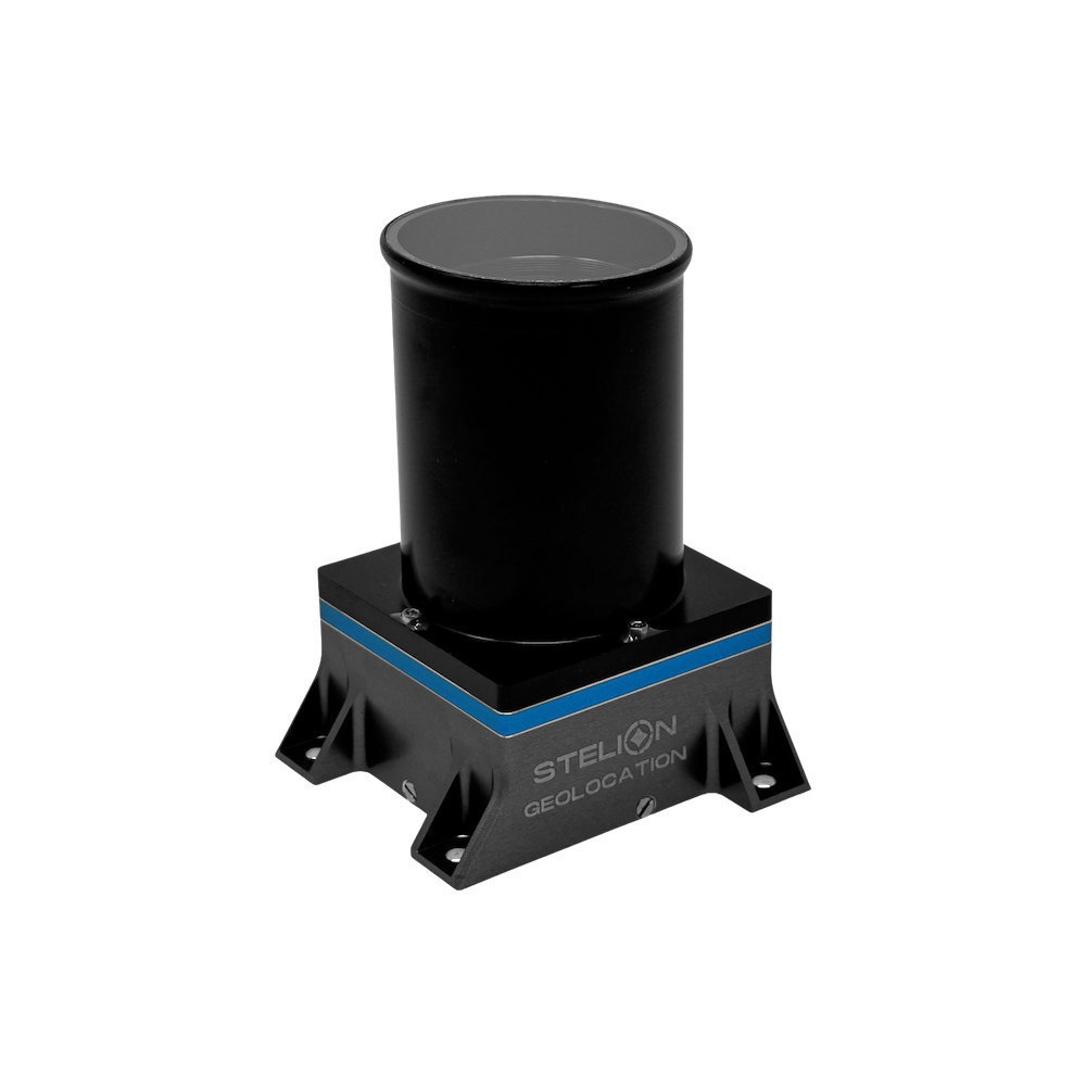
STELION Geolocation

High-precision nighttime geolocation and orientation for GNSS-denied operations
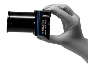
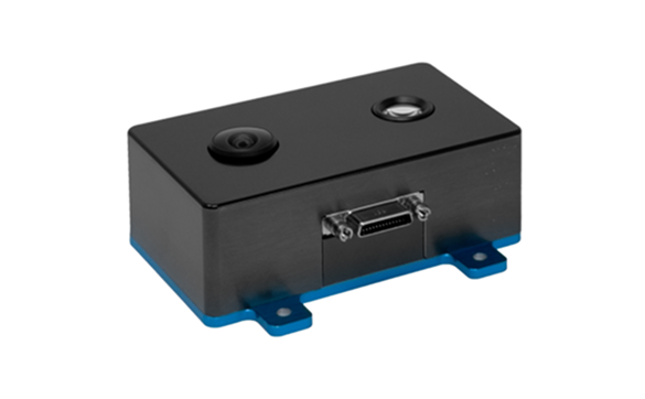
STELION Geolocation (STELION-SGS) GNSS USTSTELION Geolocation (STELION-SGS) is an advanced optical sensor that delivers autonomous geolocation and orientation capabilities during nighttime operations. Combining multispectral imaging with integrated navigation capabilities, it calculates attitude and geographical position using stellar objects and known time and date.

The system delivers geolocation accuracy of less than 500 m, depending on the INS, providing an independent positioning input when GNSS is unavailable or compromised. This critical capability ensures mission continuity in contested environments, and is immune to electronic warfare attack.

STELION-SGS‘ plug-and-play architecture simplifies integration into UAV and autonomous vehicle platforms, requiring no external electronics. Weighing less than 360 g and consuming less than 3 W from a 5 VDC supply, it is ideal for SWaP-limited designs.

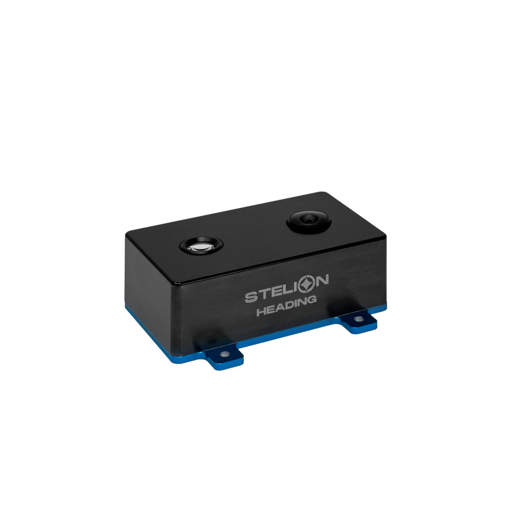
STELION Heading

Daytime and nighttime heading and orientation for unmanned platforms

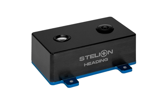
STELION Heading (STELION-SHS) provides autonomous high-precision heading and orientation measurements during both daytime and nighttime operations. As an alternative to magnetic heading references, it delivers reliable information that both complements and improves GNSS-based navigation and ensures resilience under heavy electromagnetic interference.

STELION Heading (STELION SHS) 0

STELION Navigation (Stelion-sns) Back 0

Utilizing a CMOS detector with a field of view of 170° during the day and 40° at night, STELION-SHS is capable of yaw accuracy down to 0.1°. Weighing less than 170g with a power draw of no more than 3W, it is ideal for a range of UAV and unmanned systems platforms.


Stelion Systems

How do you find direction when magnetic north is unreliable?

Discover how the STELION Heading Sensor uses celestial references to deliver precise optical heading, independent of GNSS signals and magnetic interference.

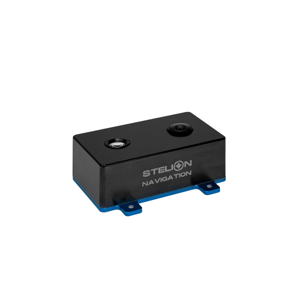
STELION Navigation

Combined autonomous navigation & orientation for day and night operations

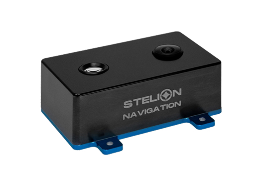
STELION Navigation (STELION-SNS) combines heading, geolocation and orientation measurements in a single optical sensor designed for daytime and nighttime operation. It provides complementary information to support and improve the performance of existing navigation systems, ensuring resilience in challenging and contested environments.

STELION Navigation (Stelion-sns) DASTELION-SNS delivers 0.1° heading accuracy, with geolocation accuracy of 4–5 km during the day and 1–2 km at night. With an easy-to-integrate plug-and-play architecture, compact footprint and weight of less than 170 g, it is highly suited to autonomous vehicle navigation and can be provided with 5 VDC or 12 VDC power input.

Unmanned Systems Applications

Stelion’s modular approach allows celestial sensing capabilities to be easily incorporated into existing vehicle architectures and mission systems. For OEMs and system integrators, the sensors provide additional sources of heading and position information that can complement inertial systems and GNSS, helping reduce reliance on any one navigation technology.

Stelion’s sensors are ideal for unmanned systems operating in all domains:

  • UAVs and UAS: Celestial navigation inputs for aircraft and high-altitude platforms requiring resilient navigation in GNSS-denied or degraded airspace.
  • Uncrewed surface vessels (USVs): Complementary positioning and heading information for maritime platforms operating over open water and in environments where GNSS signals cannot be relied upon.
  • UGVs & autonomous ground platforms: Heading, orientation and navigation inputs for vehicles operating in GNSS-denied or electromagnetically contested environments.

To find out more about Stelion Systems’ celestial navigation sensors and GNSS-independent positioning solutions for unmanned platforms, visit the company’s website.

Products

STELION Geolocation
STELION Geolocation

High-precision nighttime geolocation and orientation for GNSS-denied operations

STELION Heading
STELION Heading

Daytime and nighttime heading and orientation for unmanned platforms

STELION Navigation
STELION Navigation

Combined autonomous navigation & orientation for day and night operations

Regional Offices & Locations
Stelion Systems Spain Early Ovington 24, 41309 La Rinconada, Sevilla +34 954 460 113 Contact Website

THE WEEKLY eBRIEF

The latest unmanned systems news, straight to your inbox.

Get our weekly roundup of technology developments, new products and industry news.

By subscribing, you agree to receive the weekly UST eBrief newsletter from EchoBlue Ltd. Unsubscribe at any time using the link in every email. See our Privacy Notice.

Advancing Unmanned Systems Through Strategic Collaboration UST works with major OEMs to foster collaboration and increase engagement with SMEs, to accelerate innovation and drive unmanned systems capabilities forward.