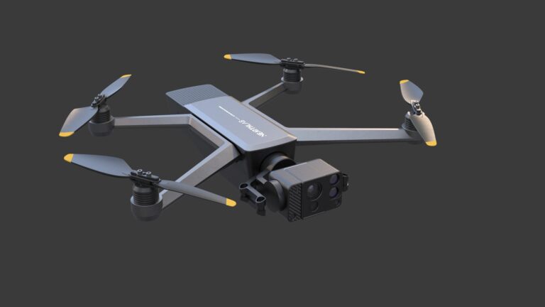
AIDrone Unveiled at CES 2024
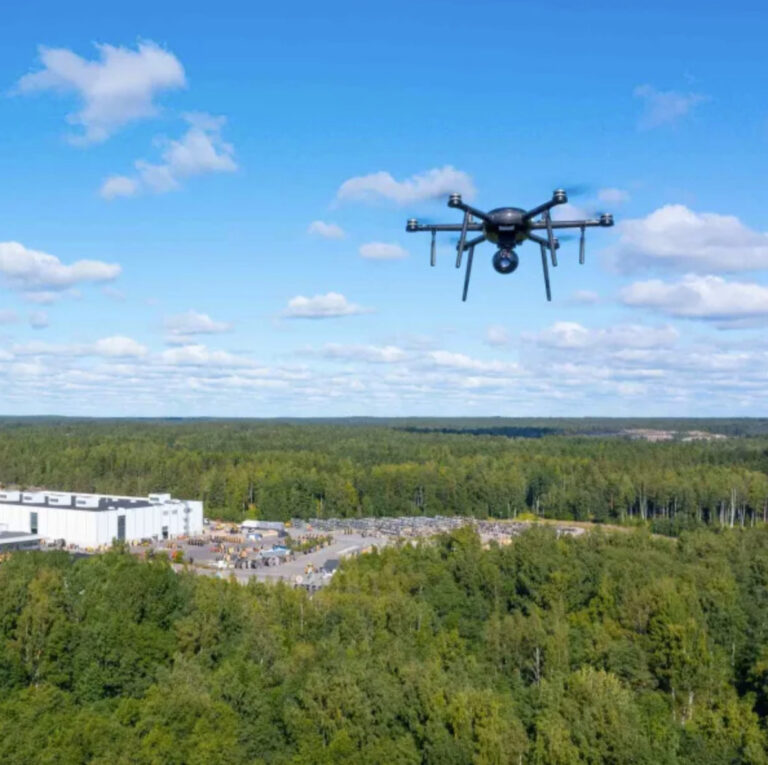
Nearthlab's AIDrone combines the power of Artificial Intelligence (AI) with drone technology to assist a wide range of tasks across various industries, including infrastructure inspection, renewables, and public safety




Category archive
Page 106
Nearthlab's AIDrone combines the power of Artificial Intelligence (AI) with drone technology to assist a wide range of tasks across various industries, including infrastructure inspection, renewables, and public safety
Wade Wicklund's unique design of a unmanned aerial vehicle (UAV) with a optical gas imaging (OGI) camera transforms hydrocarbon leak detection, a growing in-demand service
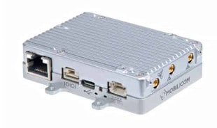
Following on the success of Mobilicom's Skyhopper Pro Micro, a new production scale order has been received for the Skyhopper Pro Lite from Israel Aerospace Industries (IAI) for loitering drones to be deployed by Israel Defense Forces
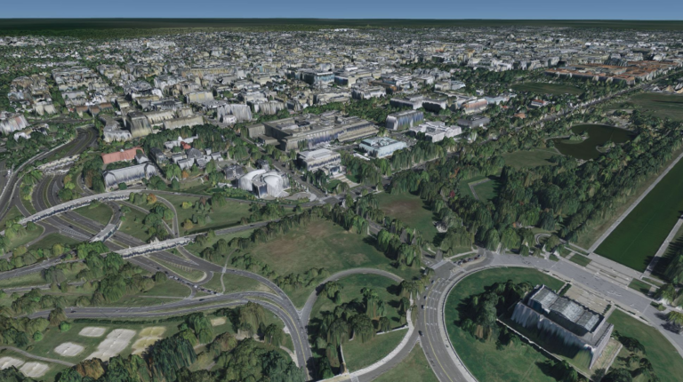
TerraLens 9.4 from Kongsberg Geospatial, an advanced geospatial software development toolkit (SDK), provides significant improvements on map formats, visualizations, compiler support, and performance
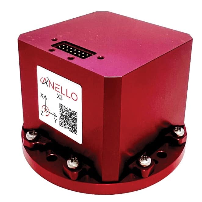
The ANELLO X3 is a small, lightweight, low-power, tri-axial optical gyroscope providing high accuracy, performance and reliability for today’s autonomous applications
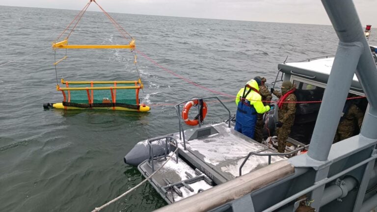
The SeaBat T20-S Multibeam Echosounder (MBES), delivering high-resolution bathymetric data, will be instrumental in the Polish Navy's critical underwater infrastructure inspections, a crucial aspect of modern seabed warfare
Through a Global Partner Agreement, Cyberhawk and Phase One will continue to bring the highest standard of industrial inspections to customers using the P3 iXM100 payload
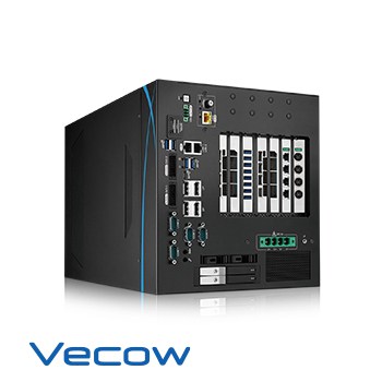
Featuring innovative technology, the Vecow RCX-3000 PEG is the ideal solution for AOI, Autonomous Robotic, Vehicle Computing, Deep Learning, and any Edge AI applications
A low-latency video software decoder allows real-time, high-resolution video viewing and data collection, making the RuggON Ground Control System an ideal tool for drone pilots
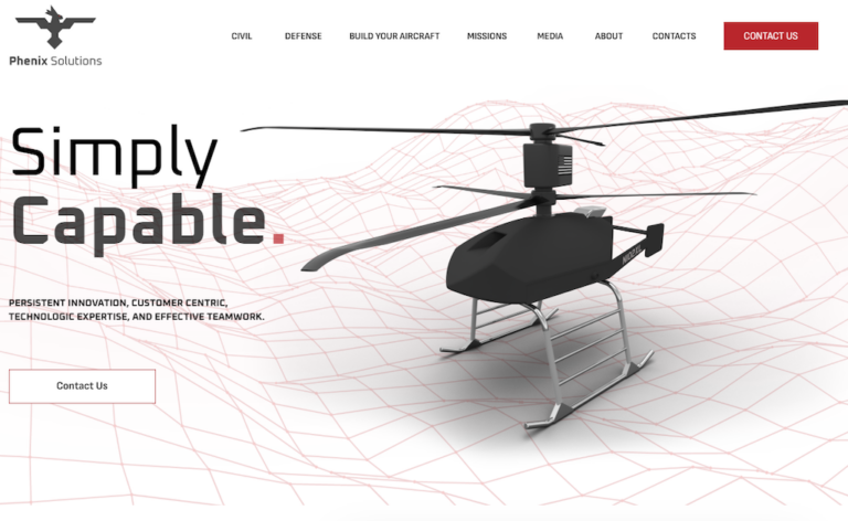
The primary key feature in this update is an interactive tool allowing visitors and customers to customize their Ultra 2XL aircraft with the desired equipment needed for their missions
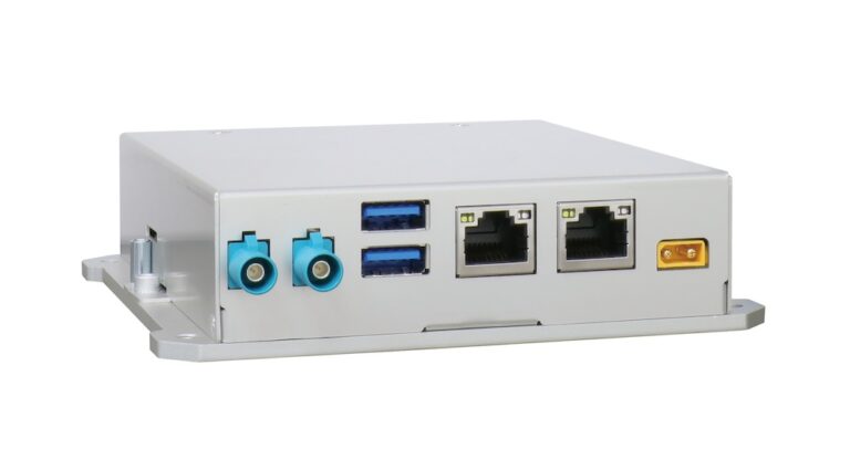
FLYC-300 is a mission computer for drone systems, weighing just 300 grams and able to deliver up to 100 TOPS AI performance for AI-based applications and autonomy capability
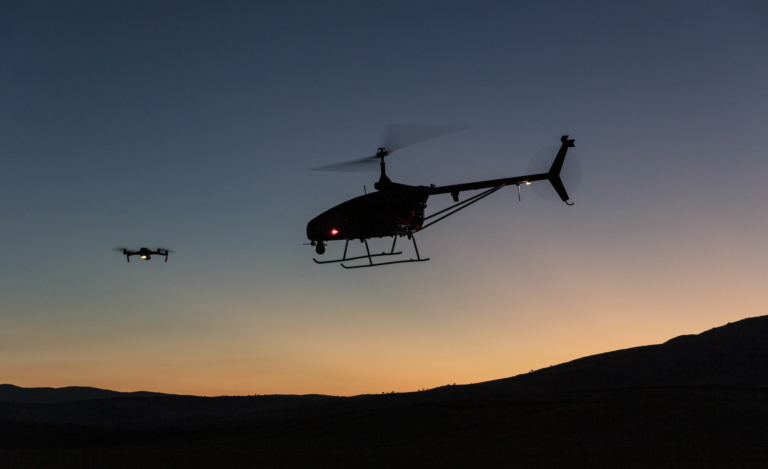
UAVOS has issued a review looking at the highlights from 2023 discussing continued MALE UAS innovation, production facility growth, and on-going global developments in drone-based services
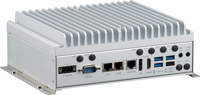
NEXCOM's unmanned and connected vehicle solutions are ideal for ADAS, construction, law enforcement, public transit, and more
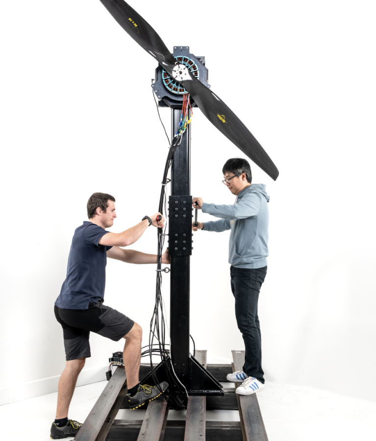
Tyto Robotics' Flight Stand 500, a state-of-the-art thrust stand, is designed for testing the propulsion systems of advanced air mobility (AAM) vehicles, heavy-lift drones and eVTOL
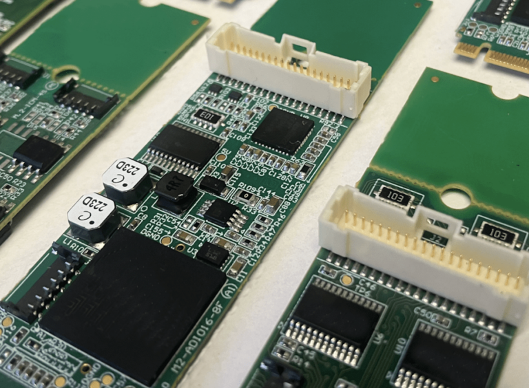
With the small form factor and robust capabilities, the M.2 cards are suitable for an array of applications in sectors such as automation, defense, testing, process control and more
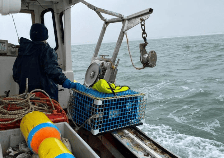
The integration of Teledyne's industry-standard acoustic modem technology and the new Acoustic Trigger feature could revolutionize the lobster and crab fishing industries
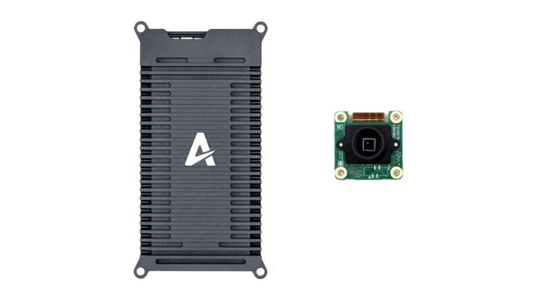
The Vision Kit S acts as a starting point for developers to create computer vision applications like obstacle detection and avoidance, VIO, precision landing, QR detection, or targeting
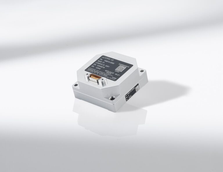
Marrying precision and robustness, LITEF has released a sensor in a small design for high vibration and shock requirements in industrial, aerospace, land or marine applications
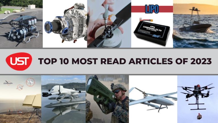
Here’s the UST round-up of the ten most read articles of the year
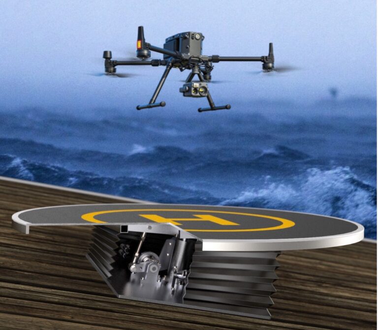
STABLE has been awarded funds by The Research Council of Norway to establish safe landing and take-off platforms for VTOL drones involved in the offshore wind industry
The Blue UAS list is a program developed by the Defense Innovation Unit (DIU) of the Department of Defense (DoD), designed to rapidly vet and scale commercial UAS technology
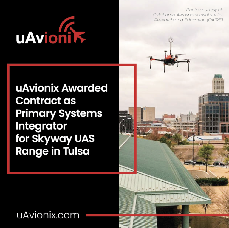
Contracted by the Oklahoma Aerospace Institute for Research and Education (OAIRE), uAvionix will deploy Command and Control (C2) and Detect & Avoid (DAA) services that enable uncrewed Beyond Visual Line of Sight (BVLOS) operations between nodes on the Skyway
The Sony ILX-LR1 camera harnesses advanced sensor technology with a 35mm full-frame back-illuminated image sensor and approximately 61MP
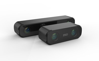
Stereolabs and Syslogic combine stereo vision hardware and software with durable and powerful hardware designed to endure unpredictable environments for agriculture, railway, and more
GEODNET's high-reliability data service combined with Deep Sand Technology's affordable automated tractor solutions is expected to help farmers improve efficiency, yields, and reduce input costs
Nokia has extended the Drones-as-a-Service partner program with existing private wireless partners, so North American industries can reap the benefits of Nokia Drone Networks


 Searching Companies & Products