


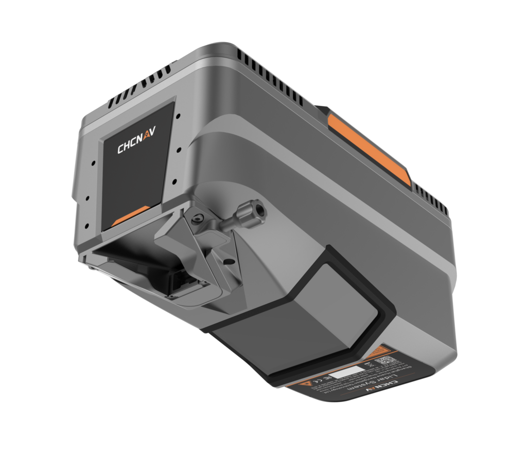
Drone LiDAR
Discover cutting-edge solutions from 4 leading global suppliers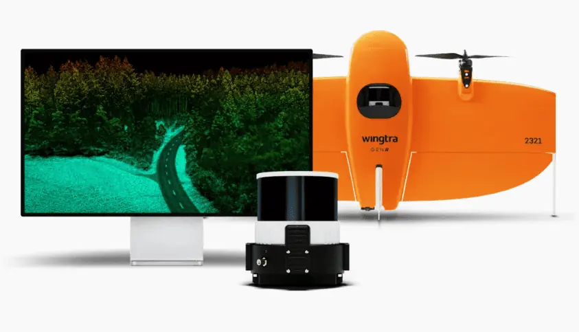
Zurich-based VTOL drone producer Wingtra has unveiled its new drone LiDAR solution.
All the features that WingtraOne GEN ll customers are familiar with, efficiency capture, easy operation, and rock solid, reliable high accuracy, are now paired with the power of a Wingtra-engineered LiDAR sensor combining the best components available in their class.
“We’re excited to deliver a LiDAR drone mapping solution to our customers, which we’re confident will exceed their expectations, cut their costs and headaches, and win them more bids,” said Julian Mackern, Product Manager at Wingtra. “We’re already seeing our first customers comment how surprisingly easy it is to set up, fly and generate a high-quality point cloud. And as always, we keep our promise with the data: high precision, reliable and repeatable.”
Customers worldwide already turn to the WingtraOne GEN II to map more efficiently, safely and often, unlocking the power of photogrammetric worksite analysis. The addition of Wingtra’s carefully-engineered LiDAR payload takes this a big step further, bringing them an all-in-one solution—from greenfield discovery phase through project implementation and infrastructure maintenance.
Combining a top-tier Hesai scanner, Inertial Labs IMU and NovAtel GNSS, Wingtra LiDAR cuts out time-intensive extra post-processing strip alignment work and delivers precise terrain information right away from each hyper-efficient flight.
Director of Data Acquisition at HDR, Carlos Femmer ran research flights on the Wingtra LiDAR payload with his team at the geomatics lab in Lafayette, Louisiana, adding; “We’re seeing [USGS topographical] quality level zero results on hard surfaces, which are quality results. We were able to test the horizontal and vertical strip alignment quality and we looked at vegetated areas, non vegetated areas, and it’s very clean, it aligns well. There’s minimal noise as compared to other LiDAR sensors in this price range and it delivers exceptional overall precision.”
Wingtra LiDAR slashes field time for customers as well, since it requires no calibration and initializes in just one minute. Even those new to LiDAR data capture will gain confidence quickly thanks to an intuitive Wingtra LiDAR app and an overall automated experience. In fact, from setup to point cloud generation, Wingtra LiDAR users will save at least an hour per survey due to quality components and a seamless workflow.
“Wingtra LIDAR capture and processing is super efficient. Technically, if you have everything structured, it’s literally one click and it’s done to get you to that point cloud. The goal is that LiDAR data gets cheaper and simpler to use, and the good news is that that’s happening with Wingtra,” added Leo Liu, Director of Mapping Solutions at Inertial Labs.
The 3cm (1.2 in) vertical accuracy is tested and verified by lead customers as top of the range available from a 60m (200ft) flight height. Point density is top of its class, and the WingtraOne GEN II’s design and automated flight pattern cuts out variability across different pilots flying the same project.
“Since it is active data capture involving millions of laser light pulses and tracking their precise bounce off surfaces, LiDAR data is sophisticated to capture consistently,” Femmer explained. “So Wingtra’s automated LiDAR capture is, in my opinion, better than other systems in this price range. I can send three different pilots to the same location and get the same quality result processing on the back end.”


