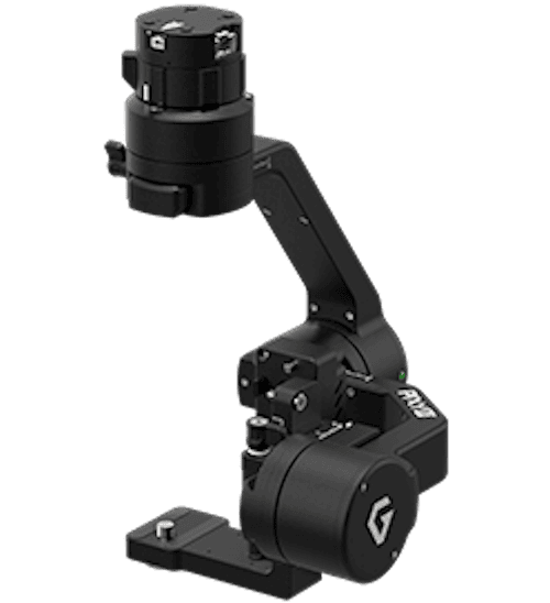
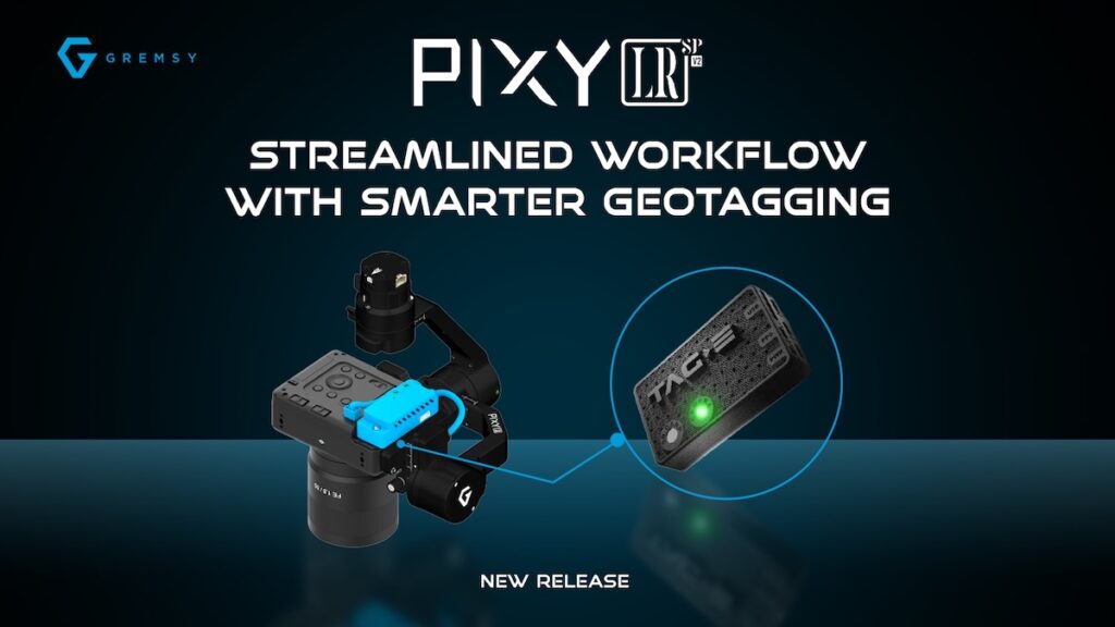
Gremsy, a global leader in advanced camera gimbals and payload solutions for Unmanned Aerial Vehicles (UAVs) & Robotics, has launched the Pixy LR S-PORT V2, an upgraded version of its Pixy LR S-PORT gimbal, designed to simplify aerial data capture and post-processing for industrial UAV operations.
Built specifically for the Sony ILX-LR1, the Pixy LR S-PORT V2 combines camera control, geotagging, and payload integration into a streamlined system.
Smarter Geotagging with Built-in TAG-E
The key upgrade is the integration of the TAG-E geotagging module directly into the gimbal. TAG-E captures critical flight and positioning data at the moment of capture, helping users create more accurate and organized aerial datasets.
The system automatically embeds geotagging information into photo EXIF metadata and generates SRT files with video telemetry, reducing manual work during post-processing.
Key Highlights
- Lightweight 462g with S-PORT Mechanism: Optimized for extended flight times and features Gremsy’s innovative S-PORT Quick Release, enabling plug-and-play integration with multiple payloads across the ecosystem, including ZIO and VIO.
- Full Camera Control of Sony ILX-LR1: Simplified interface via USB-C connection for faster UAV operation, providing full control through a simple interface, without requiring additional development.
- EXIF Photo & Movie Geotagging: Automatically embed GPS and flight data into photo EXIF metadata and generate SRT files with video telemetry, simplifying post-processing and mapping workflows.
- Control Standard: Seamless camera control through MAVLink Camera Protocol V2, compatible with QGroundControl and MAVCAM, and validated with ArduPilot and PX4 platforms, including Pixhawk and CubePilot.
- Precision Time Synchronization: TAG-E integrated to the gimbal, synchronizes the camera with precise UTC time from a PPS-capable GPS/RTK source for accurate geotagging. It also automatically updates the camera’s clock and time zone using GPS data.
Built for Industrial UAV Operations
With its integrated geotagging and streamlined camera control, the Pixy LR S-PORT V2 is designed to help industrial professionals move more efficiently from aerial data capture to accurate deliverables.
The system is particularly suited for photogrammetry, surveying, mapping, and asset inspection, where precise positioning and reliable flight data are essential.
The Pixy LR S-PORT V2 is now available for industrial UAV applications and system integration.