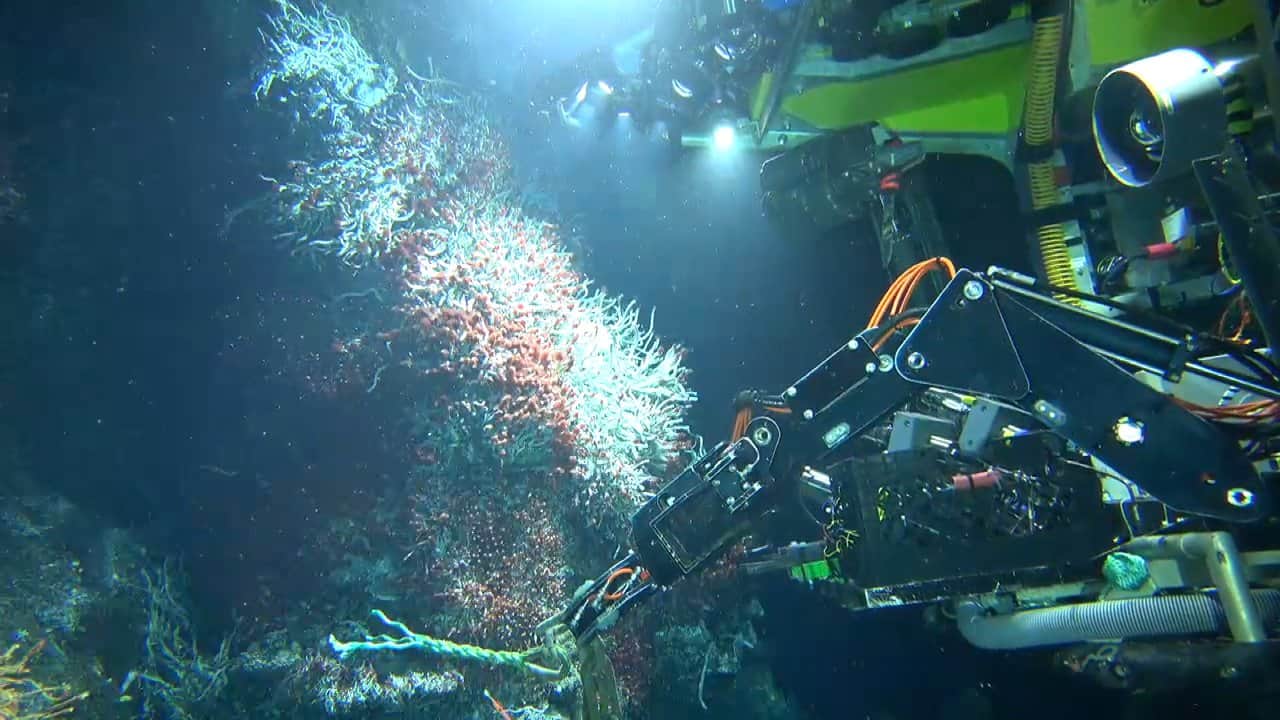
As one ocean science field season draws to a close, SubC Imaging is highlighting how decisions made during preparations for the next can affect the amount of usable data researchers bring back to shore. For teams working within limited vessel time and short weather windows, organizing imagery, positioning information, sensor data and observations at the point of capture can reduce the need to reconstruct that context after a deployment. Read more >>
Ship time can cost tens of thousands of dollars per day, making efficient use of each deployment an important consideration. Yet the workload does not necessarily end when a vessel returns to port. Research teams can spend a week or more matching timestamps, sorting video files and determining which imagery corresponds to particular GPS positions.
For programs involving several surveys during a season, this post-field processing can accumulate into weeks of analyst time. Addressing how data is captured and organized before heading offshore can therefore influence both the field operation and the subsequent analysis workflow.
Linking Imagery and Survey Data During Capture
One source of post-deployment work is the need to reconstruct the context surrounding collected imagery. Handwritten observations may need to be matched with timestamps, GPS logs cross-referenced against video, and imagery reviewed for quality issues that were not identified in the field.
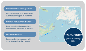
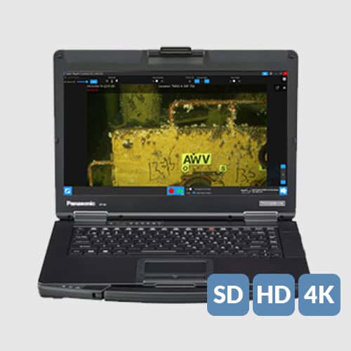
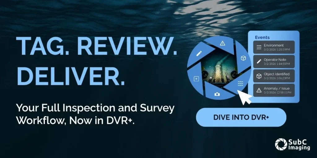
SubC Imaging’s DVR+ addresses this workflow by logging GPS, altitude, sensor data and event metadata alongside video as it is recorded. Observations are linked to imagery in real time rather than being associated manually after the survey.
This approach allows datasets to return from the field already organized, reducing the file sorting and synchronization that would otherwise take place before analysis can begin. Where teams previously spent a week or more on this process following a trip, that time can instead be directed toward analysis. Across a season involving several surveys, this can represent two to four weeks of recovered analyst time.
The same approach can also help teams assess whether deployments are producing usable imagery while field operations are still underway, rather than discovering image quality problems only after returning to shore.
Improving Imaging on Existing ROV Platforms
Data organization is only one consideration when planning an imaging campaign. Research groups may also need higher-quality imagery while continuing to operate ROVs that remain serviceable but were not originally configured for current imaging standards.
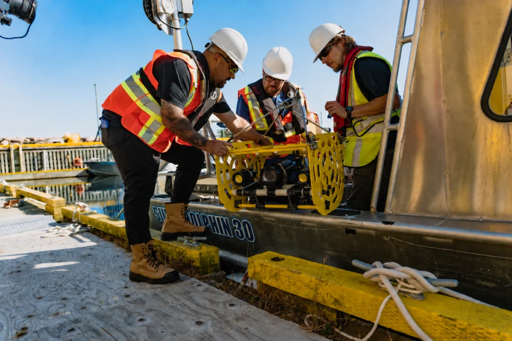
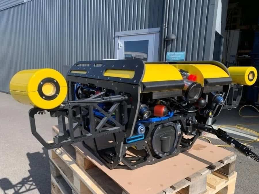
Replacing an entire vehicle solely to improve video capability may not be financially practical. SubC Imaging’s Rayfin Uplink provides an alternative for ROVs equipped with existing coaxial or twisted-pair cabling.
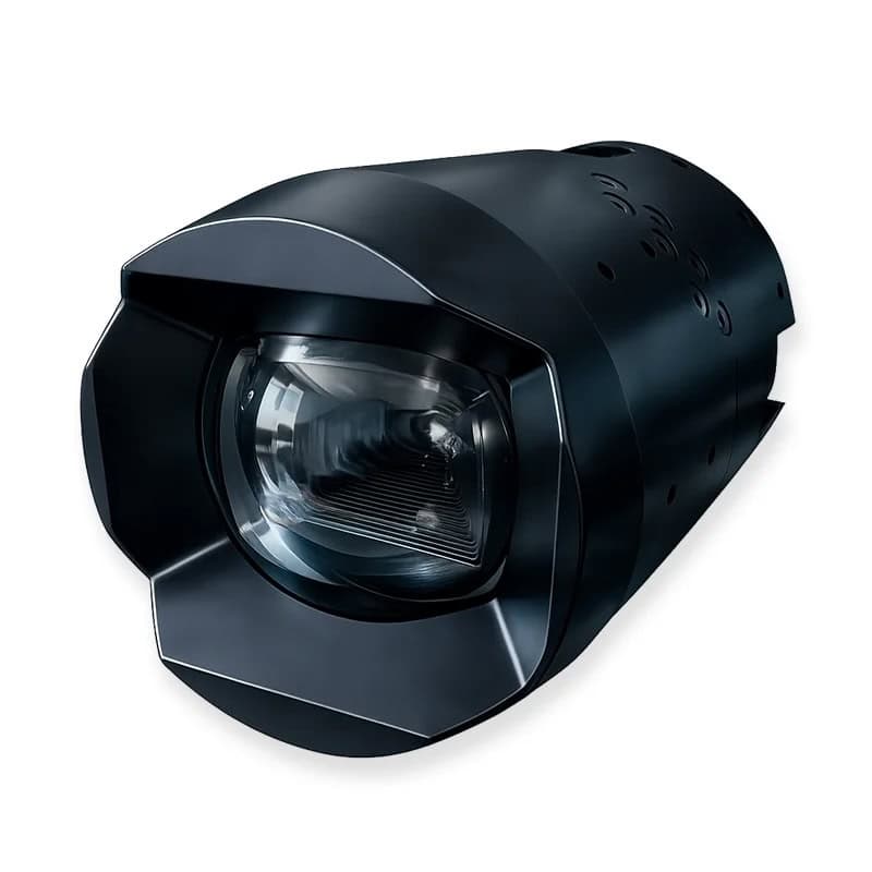
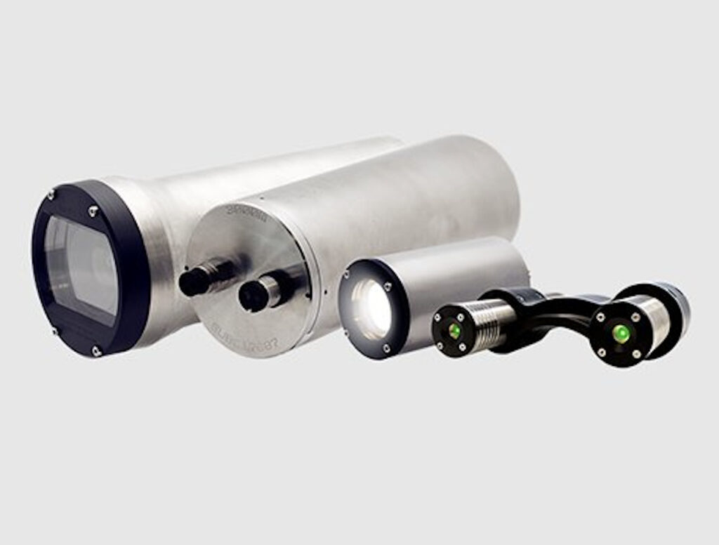
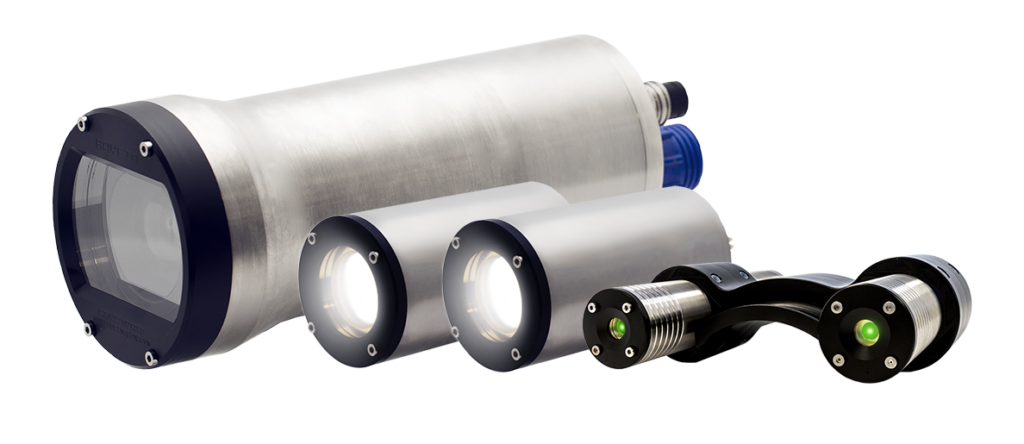
Rayfin Uplink works over these cabling configurations to support HD and 4K capture without requiring a fiber retrofit or vehicle rebuild. When paired with Rayfin camera systems, the configuration can provide clearer imagery in low-visibility or challenging conditions while allowing teams to continue using platforms with which they are already familiar.
Rather than replacing the complete vehicle, this approach provides a route to improving image quality while extending the working life of existing equipment.
Selecting an Imaging Platform for the Survey
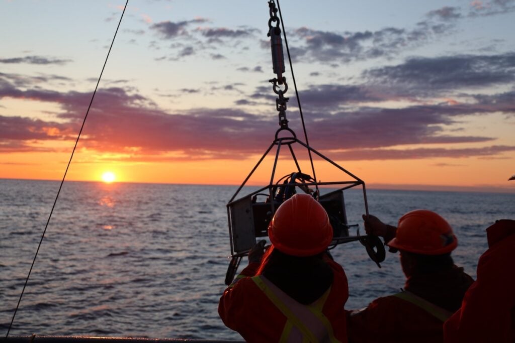
The type of imaging platform used can also affect vessel requirements and the amount of time needed offshore. Different survey objectives call for different approaches to image collection, from rapid assessments conducted from small vessels to long-duration monitoring that can continue without a vessel remaining on site.
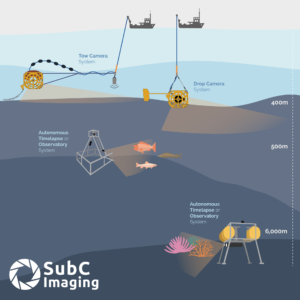
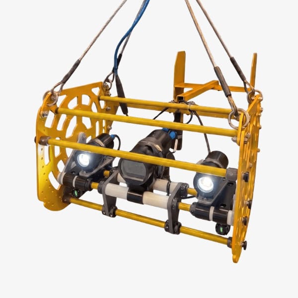
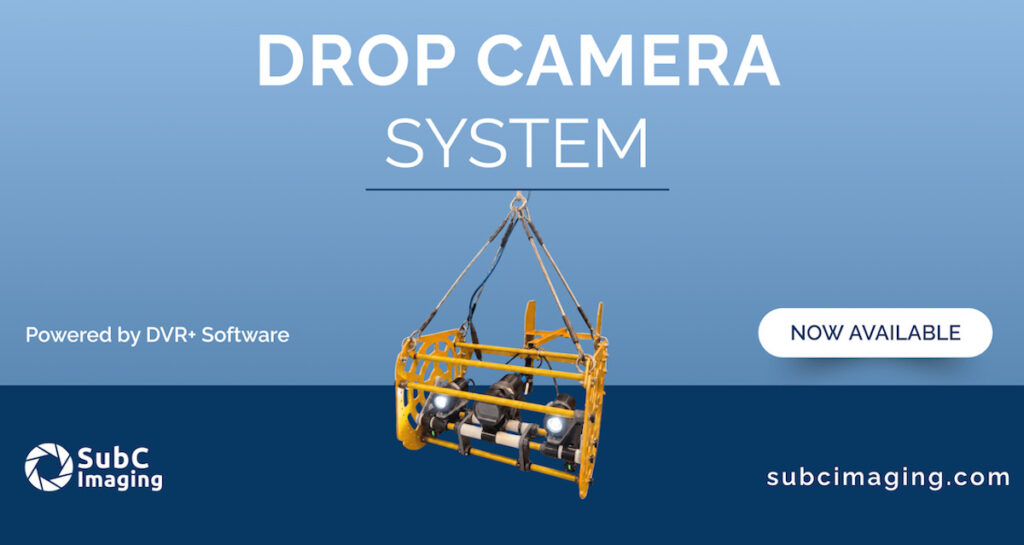
For rapid site assessments and repeat monitoring, SubC Imaging’s Drop Camera System provides a portable means of acquiring high-quality imagery from small vessels. This can reduce the requirement for larger and more costly vessel charters where the mission does not require them.
Larger-area surveys require a different approach. The Tow Camera System collects continuous seafloor imagery across long transects and is suited to applications including habitat mapping, fisheries research and marine protected area monitoring.
Long-term monitoring can further reduce the need for repeated vessel visits. SubC Imaging’s Observatory Camera System and Autonomous Timelapse System automate image capture over periods ranging from months to years, with live streaming and sensor integration built in.
For monitoring programs that would otherwise require multiple visits to the same location during a season, a single deployment can replace repeated site visits. In addition to reducing vessel requirements, this can lower the associated fuel use and emissions.
Planning the Imaging Workflow Before Deployment
Preparing for an ocean science campaign involves more than selecting individual cameras or platforms. The way observations, positioning information, sensor measurements and imagery move through the complete workflow can determine how much processing remains once a deployment is complete.
Before heading offshore, teams can assess whether observations and metadata can be captured during the survey rather than reconstructed afterward. They can also determine whether imagery will be organized for analysis on return, whether image quality can be improved without replacing existing equipment, and whether the selected imaging platform is appropriate for the particular mission.
The reliability of the resulting dataset is especially important when weather restricts available field time. With limited opportunities to repeat a deployment, identifying imaging or data-management problems while still offshore can prevent scarce vessel time from producing unusable results.
Planning the imaging workflow before the field season therefore shifts part of the workload away from post-survey data reconstruction. By considering data organization, existing vehicle infrastructure and mission-specific imaging platforms together, research teams can focus more of their post-field time on working with the collected information rather than preparing it for analysis.
Read Back to the Field: How Marine Researchers Can Prepare for a Successful Ocean Science Season on the SubC Imaging website.