Selecting an underwater camera involves more than comparing resolution and pressure ratings. The Rayfin camera range from SubC Imaging addresses deployment conditions spanning compact observation-class ROVs and towed survey systems to autonomous seabed observatories, deep-water landers, and hadal research platforms, with individual mechanical configurations intended for different combinations of depth, infrastructure, data handling, and operational workflow. Read more >>
The appropriate camera therefore depends on how and where the system will operate, whether an operator will remain in the loop, how imagery needs to be recorded or transferred, and what supporting metadata and peripheral devices must be integrated into the imaging system.
A Common Imaging Platform for Different Subsea Deployments
The Rayfin range is structured around deployment requirements rather than a linear hierarchy of camera performance. A compact ROV, for example, presents different mechanical and communications constraints from an autonomous lander operating for an extended period on the seafloor.
Across the range, Rayfin cameras share an imaging and recording foundation supporting HD and 4K capture together with 12.3-megapixel digital still images. They also incorporate SubC Imaging’s proprietary LiquidOptics technology for underwater image capture.
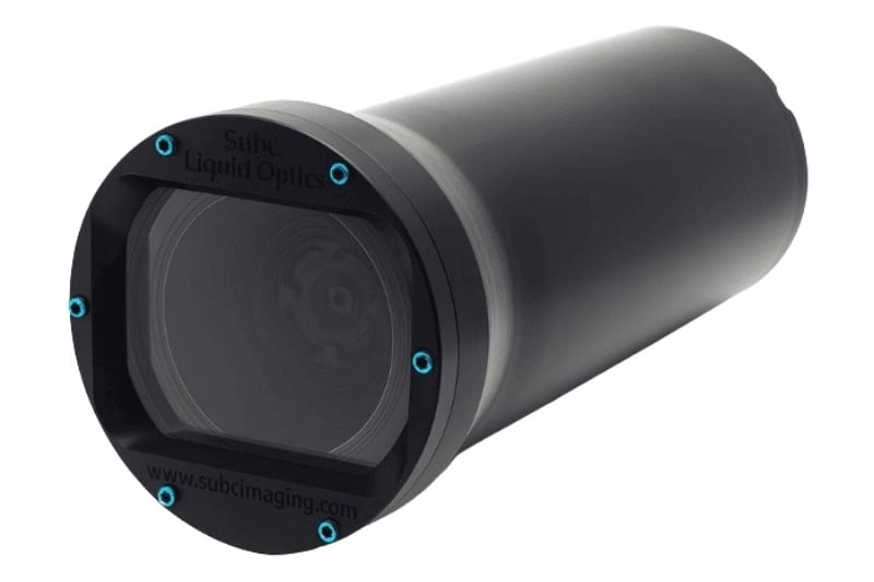
The mechanical models are differentiated by the environments and platforms they are intended to support. Rayfin Micro and Rayfin Uplink address compact ROV and inspection applications, while Rayfin Coastal is suited to applications including seafloor drop-camera and tow-system surveys. Rayfin Benthic extends the platform to deep-water ROV, autonomous, observatory, and lander deployments, while Rayfin Trench addresses full-ocean-depth applications.
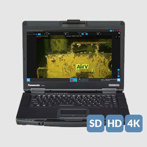
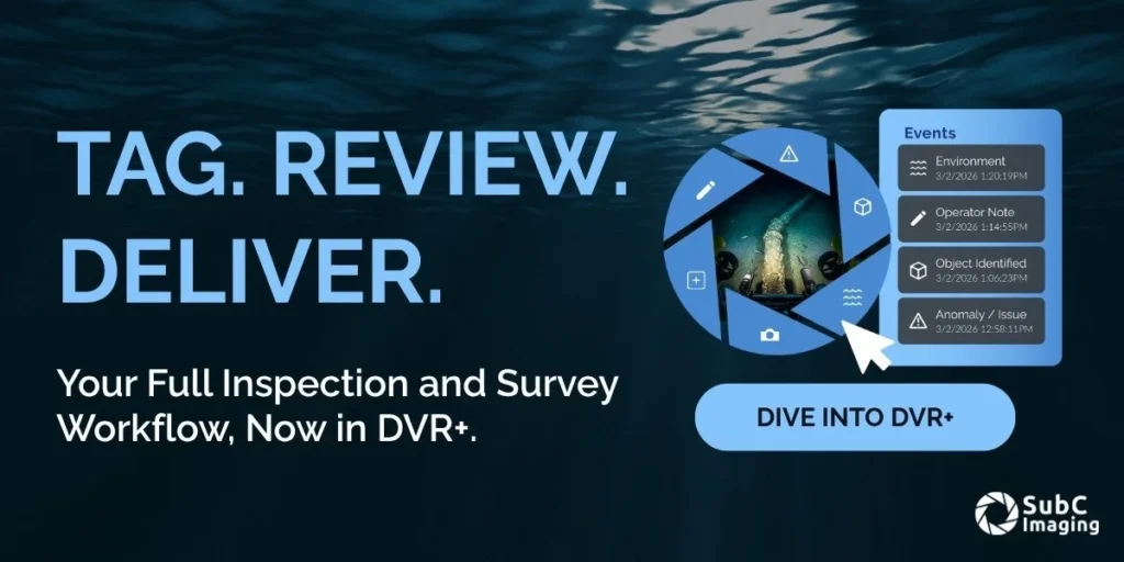
Recording and data management are handled through DVR+ software, which supports recording, event capture, offline review, and structured data export within inspection and survey workflows. Depending on the deployment configuration, Rayfin cameras can use internal storage or transfer data live to the surface.
The cameras also support Rapid Digital Imaging, or RDI, with an adjustable capture rate of up to 2 Hz. Tilt, roll, and NMEA information can be logged, while images can incorporate EXIF GPS-tagged, geo-referenced metadata. This allows visual information to be associated with position and other mission context where those data are available.
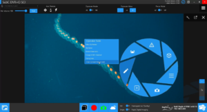
Auxiliary connectivity provides another common element across the platform. Rayfin cameras incorporate ports and controls for lights, lasers, and sensors, with these functions accessible through DVR+. Associated device cables are supplied as part of the system, reducing the amount of separate integration work required.
The resulting selection process is therefore based less on identifying a single highest-performing model than on matching camera configuration to platform, depth, communications infrastructure, and mission workflow.
Comparing Rayfin Camera Configurations
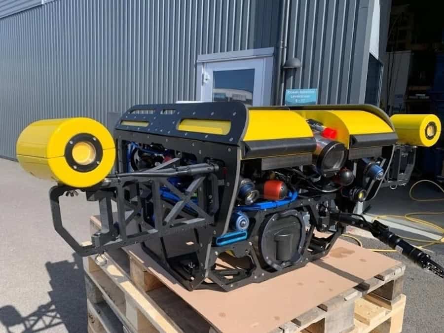
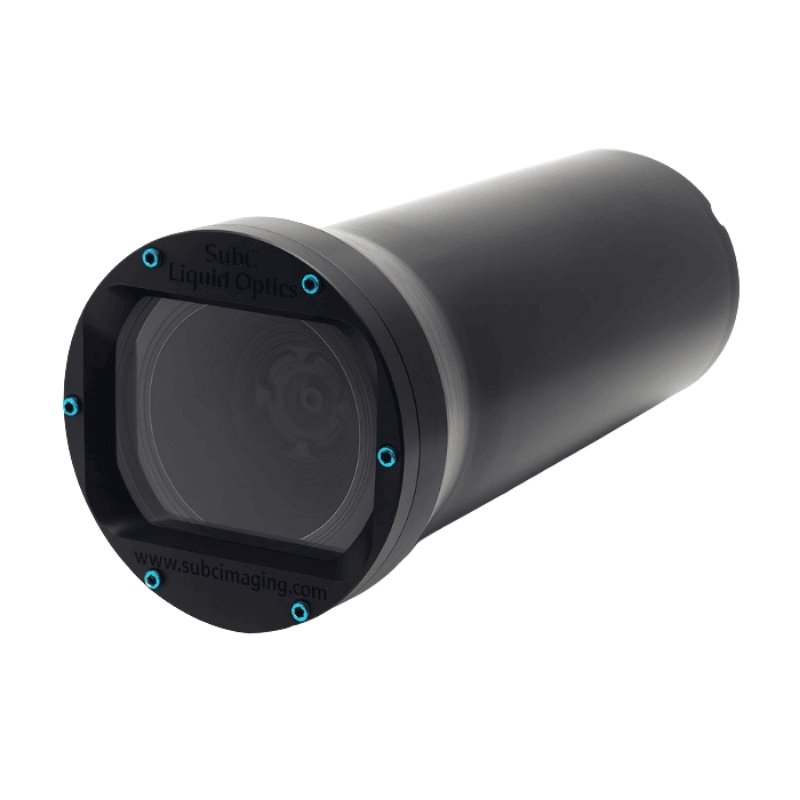
At the compact end of the range, the Rayfin Micro is rated to 500 m and is intended for smaller underwater systems where camera dimensions and platform constraints are significant. Typical deployments include observation-class ROVs and other compact subsea systems.
-
- Rayfin Micro
-
- Rayfin Uplink
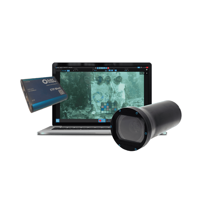
Also rated to 500 m, the Rayfin Uplink addresses upgrades to existing platforms. Its distinguishing requirement is communications infrastructure: it supports applications in which HD, 4K, or digital still imaging is required but Ethernet or fiber-optic connectivity is unavailable. This makes it applicable to observation-class ROVs and other compact systems using existing vehicle conductors.
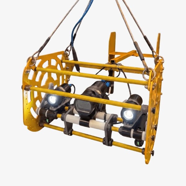
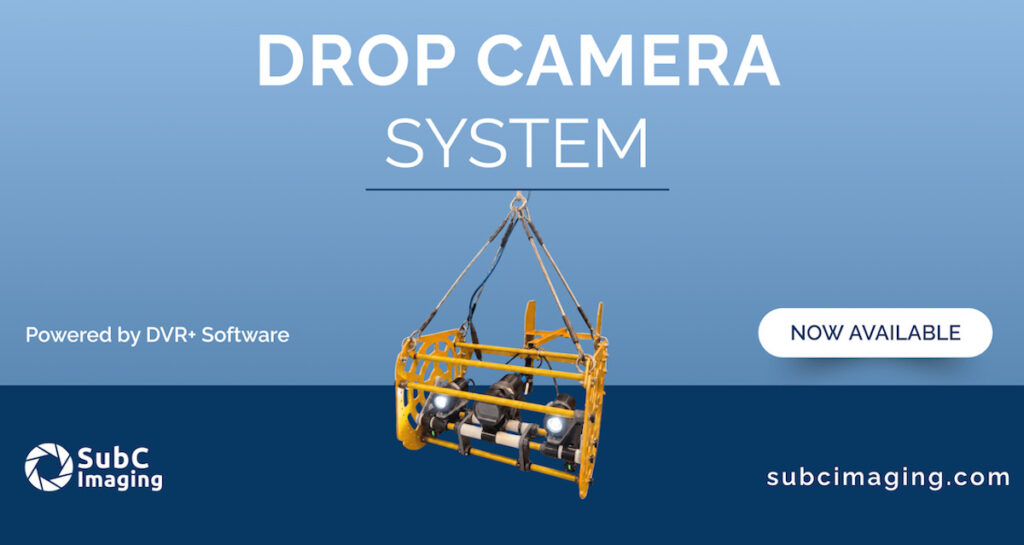
The Rayfin Coastal, with a 500 m depth rating, is configured for shallow- and mid-depth survey applications. Its typical roles include tow systems, drop-camera systems, coastal surveys, seabed observation, and other shallow-water platforms.
-
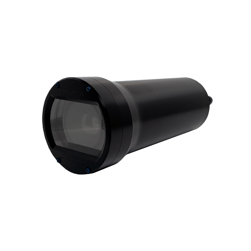
- Rayfin Coastal
-
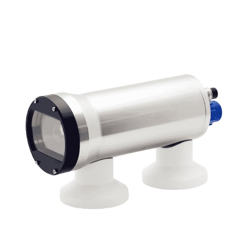
- Rayfin Benthic
For deeper operations, the Rayfin Benthic is rated to 6,000 m. It supports a broader range of deep-sea inspection, survey, and research platforms, including ROVs, AUVs, observatories, landers, baited remote underwater video systems, and autonomous deployments.
A Rayfin Benthic Autonomous Timelapse configuration is also rated to 6,000 m and shifts the emphasis from continuous operator control to scheduled, autonomous image acquisition. Applications include seabed observatories, environmental monitoring, and research deployments requiring repeated visual observations over extended periods.
-
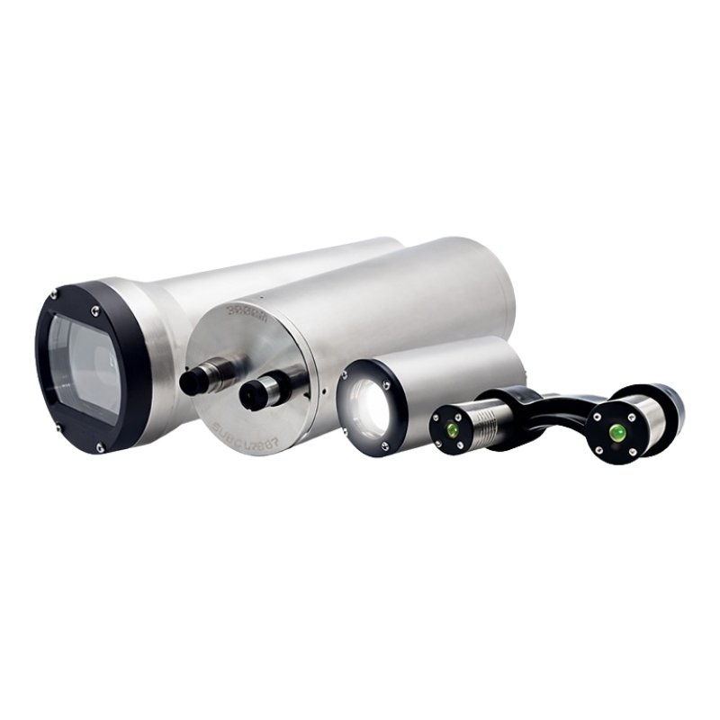
- Autonomous Timelapse
-
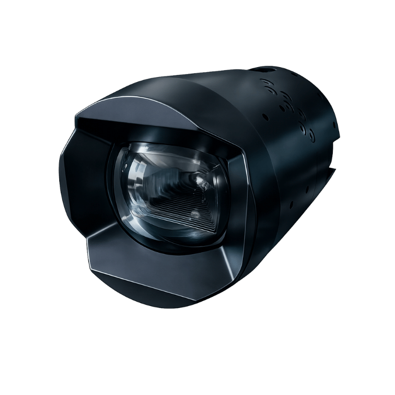
- Rayfin Trench
At the deepest end of the range, the Rayfin Trench is rated to 11 km and is intended for full-ocean-depth imaging. Typical platforms include hadal landers, deep-ocean research systems, and seafloor landers operating where autonomous performance becomes particularly important.
Live Control or Autonomous Imaging
Whether an operator will control the camera during deployment is one of the primary factors affecting system configuration.
ROV inspection and operator-guided surveys generally require live imagery, real-time control, and access to camera settings during the mission. All Rayfin models support live applications and are supplied with a license for DVR+ Single Channel Inspection software.
Where several cameras need to be recorded or controlled at the same time, DVR+ can be upgraded to support two, four, six, or additional channels.
Autonomous deployments impose a different set of requirements. Long-duration monitoring systems and landers may need to acquire imagery according to a predetermined schedule without continuous supervision.
For missions in which autonomous capture is central, the Autonomous Timelapse System and Rayfin Trench provide configurations oriented toward this mode of operation. These systems include no-code scripting software that can automate commands for the camera, sensors, lights, and lasers.
Choosing Between Internal Storage and Live Data Transfer
Data architecture can be as important as camera depth rating.
Some underwater systems record image and video data internally for retrieval after the vehicle, lander, or instrument package is recovered. Other applications require data to be transferred topside while the mission is underway.
Rayfin cameras can be configured for either internal storage or live topside data transfer, allowing the data-handling approach to be matched to the deployment infrastructure.
For remotely operated inspection, live transfer may form part of the operator workflow. Autonomous systems may instead depend more heavily on onboard storage, particularly where no continuous communications link is available.
Working with Existing ROV Infrastructure
Camera upgrades can become more complex when older ROVs lack Ethernet or fiber-optic communications.
Replacing or significantly modifying the vehicle’s existing communications infrastructure may not be practical for every retrofit. Rayfin Uplink is specifically configured for these legacy upgrade scenarios, allowing Rayfin imaging to be incorporated into systems using existing twisted-pair or coaxial infrastructure.
Its role within the range is therefore defined as much by vehicle communications architecture as by imaging requirements. It is intended for operators seeking to add HD, 4K, or digital still imaging without undertaking a major rebuild of an older inspection platform.
Integrating Lighting, Lasers, and Sensors
Subsea visual inspection frequently requires more than a standalone camera.
Lighting affects the usable imagery that can be captured underwater, while parallel lasers may provide scale within a scene. Sensors can add environmental, positional, or platform information that gives the visual record additional context.
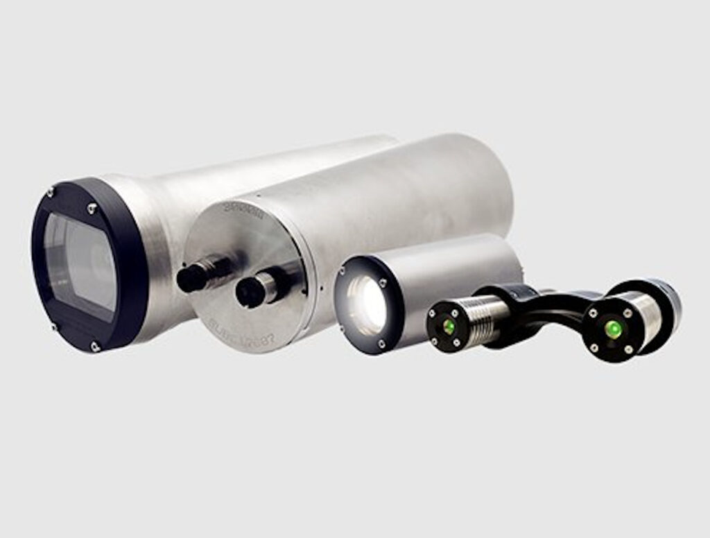
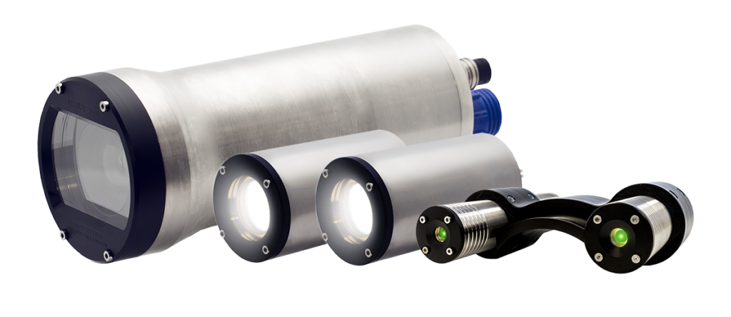
Rayfin cameras include auxiliary ports and integrated controls for lights, parallel lasers, and NMEA sensors. These devices can be controlled through the DVR+ environment, bringing camera operation and peripheral control into the same workflow.
The associated integration also reduces the need to treat each peripheral as a completely separate subsystem, with cables for supported devices included with the system.
Connecting Imagery with Mission Data
For inspection, research, and survey operations, the value of a recorded image may depend on being able to determine where and under what conditions it was captured.
Rayfin cameras support tilt, roll, and NMEA data logging. Still images can also contain embedded EXIF GPS-tagged, geo-referenced metadata.
This allows captured imagery to be associated with mission context rather than retained as an isolated visual record, an important consideration when observations need to be reviewed after a deployment or correlated with survey information.
Rayfin Micro for Compact ROVs and Subsea Systems
Rayfin Micro is intended for applications where physical space and weight influence camera selection.
The 500 m-rated camera is the smallest model within the Rayfin platform and can be used on small ROVs, compact inspection systems, and other shallow- to mid-depth underwater platforms.
Its role is to provide the Rayfin imaging architecture in a smaller form factor rather than moving to the larger configurations associated with deeper or more specialized deployments.
For observation-class vehicles in particular, this distinction allows camera selection to reflect platform size as well as imaging requirements.
Rayfin Uplink for Legacy Vehicle Retrofits
Rayfin Uplink also operates to 500 m but addresses a different problem.
Rather than being defined primarily by physical size, the Uplink configuration is focused on older ROVs that do not provide Ethernet or fiber connectivity. It can operate with existing twisted-pair or coax infrastructure, making it applicable to retrofit programs involving legacy inspection vehicles.
This allows HD, 4K, and digital still imaging to be added without requiring the communications architecture of the complete ROV to be replaced.
The distinction is particularly relevant when the objective is to modernize the imaging capability of an existing asset while retaining its established vehicle infrastructure.
Rayfin Coastal for Drop and Tow Surveys
The 500 m-rated Rayfin Coastal addresses shallow- and mid-depth operations in which a deep-sea camera configuration is unnecessary.
Typical uses include drop-camera systems, tow-camera systems, coastal surveys, seabed observation, and marine research at shallow to intermediate depths.
The configuration retains the common Rayfin imaging, recording, and data capabilities while providing a mechanical format suited to coastal, tow, and drop deployments.
For survey teams, camera selection in these applications can therefore be driven by the deployment method and expected operating depth rather than by deep-ocean pressure requirements.
Rayfin Benthic for Deep-Water Platforms
Operations extending to 6,000 m introduce a wider range of platform and integration requirements.
Rayfin Benthic is the deep-water configuration within the range and can be integrated with ROVs, AUVs, landers, observatory systems, marine research platforms, offshore survey systems, baited remote underwater video systems, and autonomous deployments.
Its role is therefore broader than that of the more application-specific 500 m configurations. It supports missions in which deep-water operation must be combined with Rayfin imaging, recording, metadata, and peripheral integration capabilities.
For ROV operations, this may involve live inspection and topside data transfer. On an AUV, lander, or autonomous platform, the same underlying imaging system can be configured around different storage and mission-control requirements.
Autonomous Timelapse for Long-Duration Monitoring
Continuous live video is not necessary for every subsea observation task.
Environmental monitoring, seabed studies, and research programs may instead require repeated images of the same location over periods measured in hours, days, months, or longer. In these deployments, scheduling, onboard storage, power management, and autonomous operation become central considerations.
The SubC Autonomous Timelapse System is configured for repeated image capture without continuous live operation. It supports scheduled acquisition and remote autonomous monitoring in deployments where an operator is not continuously available.
The source material cites an 18-month unmanned deep-sea deployment by the University of Western Australia as an example of the type of extended monitoring application associated with this configuration.
For these missions, the operational emphasis shifts away from real-time intervention and toward maintaining a planned sequence of observations over the required deployment period.
Rayfin Trench for Hadal and Full-Ocean-Depth Research
Rayfin Trench extends the camera platform to an 11 km depth rating.
Its applications include hadal research, trench exploration, full-ocean-depth landers, deep-ocean observation systems, and other autonomous research platforms operating at extreme depths.
At these depths, the opportunity for operator intervention after deployment is inherently limited. Camera configuration therefore has to account for the planned imaging sequence and autonomous operation before the system begins its descent.
Within the Rayfin range, Trench is the model intended for missions in which full-ocean-depth pressure capability and autonomous imaging requirements are the defining operational constraints.
Matching the Camera to the Mission Architecture
The differences between the Rayfin configurations illustrate why depth rating alone does not determine underwater camera selection.
A 500 m-rated compact ROV may require minimal camera size. A legacy inspection vehicle may instead make communications infrastructure the deciding factor. A coastal tow system presents different requirements again, while deep-water ROVs, AUVs, autonomous landers, long-term observatories, and hadal research platforms each change the balance between live control, internal storage, topside transfer, pressure capability, and autonomous operation.
Rayfin Micro addresses compact installations, while Rayfin Uplink focuses on retrofitting vehicles without Ethernet or fiber. Rayfin Coastal serves drop, tow, and coastal survey applications. Rayfin Benthic extends the platform to 6,000 m and a wider variety of deep-water vehicle types, while the Autonomous Timelapse configuration supports repeated observations over extended deployments. Rayfin Trench takes the system to an 11 km depth rating for full-ocean-depth applications.
Across those configurations, the common Rayfin architecture provides HD and 4K imaging, 12.3-megapixel digital still capture, RDI at adjustable rates up to 2 Hz, DVR+ recording and data management, metadata logging, and integrated control of supported lights, lasers, and sensors.
Camera selection can therefore be approached as a systems-integration decision: identifying the combination of platform constraints, operating depth, communications infrastructure, storage requirements, control model, and visual-data workflow that matches the intended subsea mission.
Read SubC Camera Comparison Guide on the SubC Imaging website.