Iridium highlights how satellite connectivity can support Beyond Visual Line of Sight (BVLOS) drone operations as the Federal Aviation Administration (FAA) develops its proposed Part 108 and Part 146 framework for Unmanned Aircraft Systems (UAS).
The proposed rules are intended to establish a nationwide structure for more routine BVLOS operations within the National Airspace System (NAS), using performance-based requirements that allow operators flexibility in meeting safety objectives. For Iridium, reliable Command and Control (C2) connectivity is a central consideration as Unmanned Aerial Vehicle (UAV) operations expand into more varied and long-range missions.
Part 108 Requirements for BVLOS Operations
Under the proposed framework, Parts 108 and 146 prioritize Strategic Deconfliction enabled by Unmanned Traffic Management (UTM), together with Tactical Deconfliction relying on Detect-and-Avoid (DAA) technologies to prevent collisions between aircraft operating in the same airspace. These measures are strengthened by C2 capabilities that are essential to safe operation.

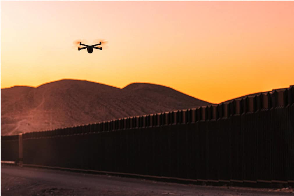
A drone assisting with crop monitoring and inspection.
Section 108.155 on Unmanned Aircraft Tracking states that “the operator must be able to determine the geographic location and altitude of each unmanned aircraft at all times during flight operations.” Section 108.160 also says, “Unless otherwise authorized by the Administrator, operations must not be conducted with Automatic Dependent Surveillance-Broadcast Out equipment in transmit mode.”
Historically, ADS-B transponders have broadcast aircraft identification, position, altitude, velocity, and direction for air traffic management systems and are required for aircraft to access certain parts of the NAS. Under the proposed Part 108 framework, a reliable C2 link must be demonstrated and adhere to performance standards including network reliability, resilience, and performance for BVLOS operations.
Communications coverage and availability must be ensured before departure, together with lost-link procedures. The proposed Section 108.165, Area of Operations, Subpart B, Operating Rules, subsection (d), states, “Ensuring adequate communications coverage and availability must be ensured prior to flight departure, as well as any and all lost link procedures.”
Satellite Connectivity for Long-Range UAV Missions
By implementing these rules and streamlining the approach to managing air traffic between UAS and traditional aviators, the FAA is expected to enable more complex operations, including long-range infrastructure inspection, public safety and emergency response, energy and pipeline monitoring, agricultural operations, and future commercial delivery services. To scale long-range missions beyond the constraints of terrestrial networks, satellite connectivity can provide the coverage, continuity, and resilience required for extended-range flights.
Iridium Connectivity for BVLOS UAS
Iridium provides global satellite coverage through an L-band, crosslinked Low Earth Orbit (LEO) constellation. The network enables reliable command and control, tracking, and data communications where ground-based networks are unavailable, congested, or compromised. Its crosslinked architecture allows communications to be routed dynamically in real time across the constellation, reducing latency for applications that require rapid transmission. Because Iridium’s satellites orbit closer to Earth than geostationary systems, connectivity requires less power, allowing the use of lower Size, Weight, and Power (SWaP) equipment.

Iridium’s satellite network providing coverage to the entire planet.
Operating in L-band, the network is highly resistant to weather and atmospheric interference, while its LEO architecture helps overcome the line-of-sight signal obstructions associated with geostationary satellites. For drone operators, these characteristics provide a single communications solution for global, SWaP-efficient operations, supporting scalability, Part 108 requirements, and global operational continuity.

Current Iridium Connected UAV conducting long-range inspection mission
Compact Iridium modules are already being integrated into long-endurance UAS used for inspection, maritime and fisheries patrol, environmental monitoring, and emergency response, including operations in difficult conditions and extreme environments. Current Iridium Connected UAV examples include American Aerospace’s AiRanger, Platform Aerospace Vanilla Unmanned, and the Kite Aero Kite UAV.
Satellite-enabled C2 can strengthen operational redundancy strategies and support emerging regulatory requirements for assured links in BVLOS missions. By providing consistent performance in adverse weather and connectivity-denied areas, Iridium is helping extend drones beyond line-of-sight tools into dependable, wide-area aviation assets capable of operating at commercial scale.
To learn more about Iridium solutions for Unmanned Aerial Vehicles, visit the Iridium Autonomous Systems page.