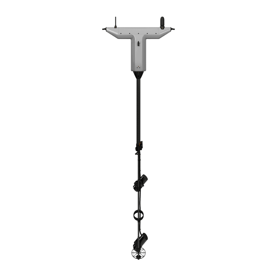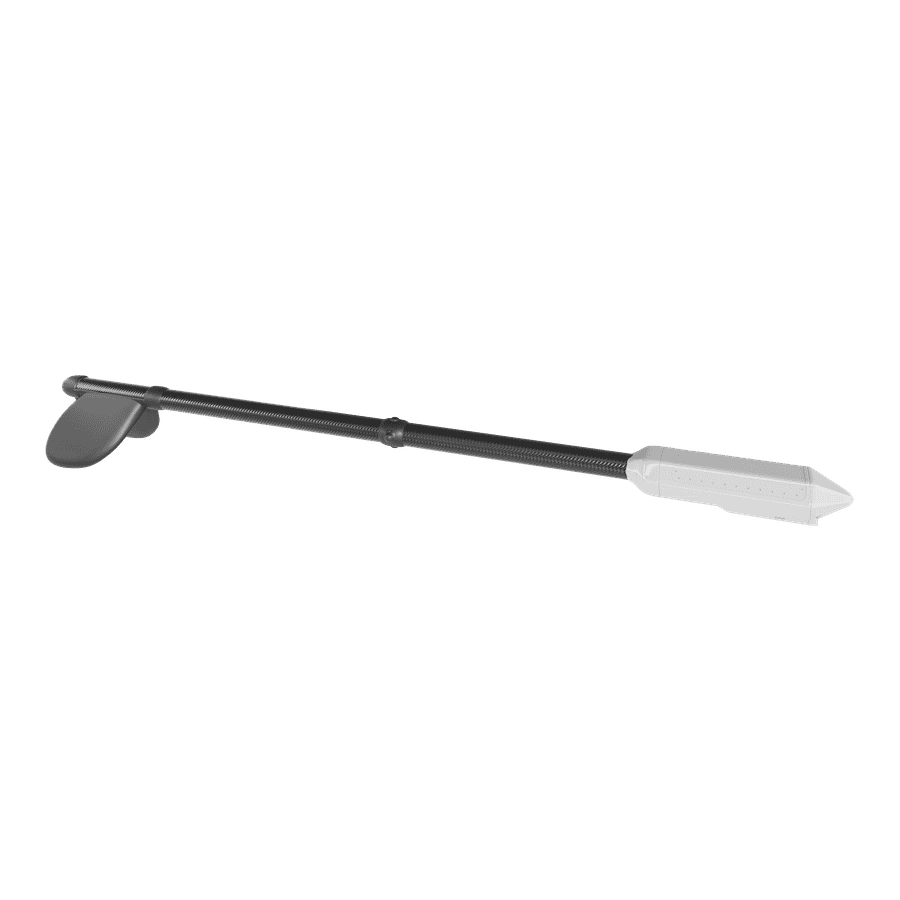


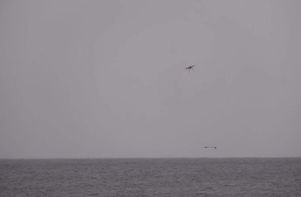
UMag Solutions develops drone-based magnetic sensing payloads designed to detect landmines, naval mines, unexploded ordnance (UXO) and submarines from the air, with more than 200 systems currently in operational use.
In this exclusive Q&A, UST spoke with UMag Solutions about how drone-based magnetic sensing detects hidden ferrous objects, the factors that influence detection depth and sensitivity, and how UMagMission® turns magnetic readings into actionable target data in real time.
How does drone based magnetic technology detect objects hidden beneath the ground or underwater?
The Earth has its own magnetic field, which is remarkably smooth both on land and at sea. A mass of ferrous metal, iron or steel, such as a mine, an underwater drone or a submarine, can distort that field and generate a “magnetic anomaly” around it.
Magnetic anomalies penetrate any medium and surface, essentially making the land and sea transparent out to a certain distance from the object. UMag Solutions’ airborne systems therefore do not need to see the object to detect it. Instead, by flying across the land or sea surface, they precisely measure the tiny anomaly signal that the object beneath the surface creates in the Earth’s total magnetic field above the surface. This means that landmines, UXO, and other buried threats can be detected from the air without putting personnel at risk.
V2Mag®
The V2Mag® and FastMag® drone solutions detect these magnetic anomaly signals with extraordinary sensitivity, down to less than a fraction of a millionth of the Earth’s magnetic field. As the drone flies a survey pattern, the systems build a map of the detected anomalies.
Why can magnetic sensing detect objects through soil, mud, vegetation, ice, and water?
A magnetic anomaly field passes through solid Earth materials like sand, clay, rocks, vegetation and ice, as well as fresh and salt water, as if they were not there.
That is the fundamental difference between magnetics and almost every other detection method. Radar can be absorbed by wet clay, cameras need a clear line of sight, and sonar can struggle in cluttered or shallow water.
For magnetics, water and land bodies are simply transparent. This is why UMag Solutions’ airborne magnetic sensing systems can detect hidden targets beneath fields with vegetation, through the surf zone, beneath sea ice, below the seabed and in the water column out into open sea without changing anything, even when the sea is turbulent.
What determines the maximum depth or distance at which something can be detected?
The magnetic anomaly signal of a hidden target weakens rapidly with distance. Typically, the iron content of the target determines the size of its anomaly signal and how far from the target that signal remains detectable. The sensitivity of the magnetic sensing solution determines how small a signal it can reliably detect and, therefore, the depth or distance at which it can find a given target.
This is where UMag Solutions’ systems stand out, combining high sensitivity with real-time operation to detect hidden targets from greater distances compared to competing solutions.
How does UMag Solutions stop the drone itself, and everything else nearby, from drowning out a weak target signal?
This is one of the main engineering challenges faced by drone-based magnetics. Companies normally integrate a sensitive magnetometer directly onto the drone for ease of use. However, drones contain motors, batteries and current-carrying cables, all of which can create high levels of system noise regardless of the sensor’s sensitivity.
UMag Solutions takes a different approach by typically separating its sensing systems from the drone carrier platform and designing them to minimize interference from internal electronics.
How do the sensors and UMagMission® turn raw magnetic readings into something an operator can act on, in real time?
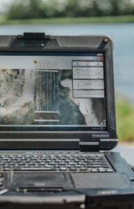
UMagMission®
UMag Solutions designed UMagMission® from the ground up, drawing on more than 200 UXO surveys for the offshore wind industry and more than three years of military feedback from battlefield areas. Over the years, the company has identified pain points associated with other software, allowing it to create a system that can be used by lay operators regardless of their background.
The operator sees magnetic map data building in real time as the drone flies. Anomalies are then automatically identified, and UMagMission® models each one to estimate the object’s location and roughly how much ferrous material it contains. A target list with coordinates can then be exported, ready to hand off before the drone lands.
Thank you for your time. It has been a pleasure speaking with UMag Solutions, and we look forward to following the continued development and adoption of drone-based magnetic sensing technology across the unmanned systems industry.