




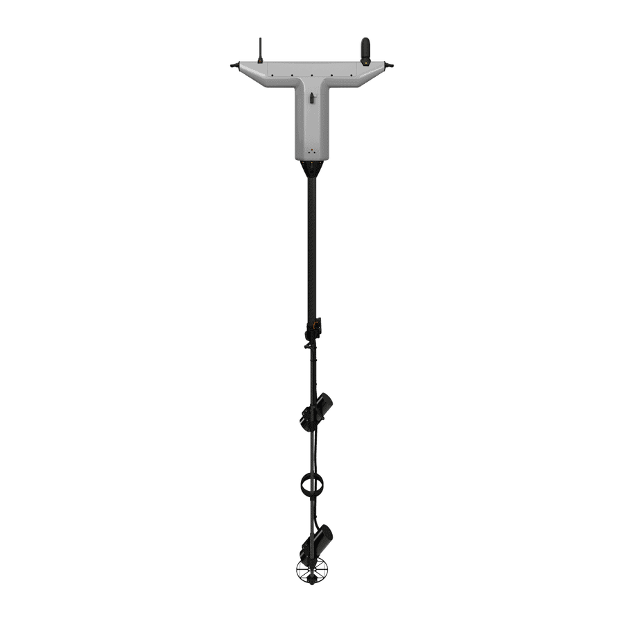
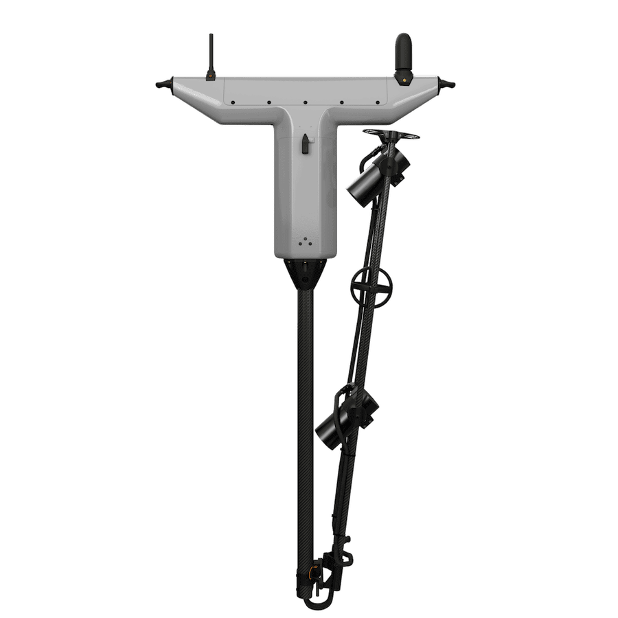
The V2Mag® from UMag Solutions is an airborne drone magnetic solution developed for detecting mines, unexploded ordnance (UXO), and other concealed magnetic targets across land, coastal, and harbor environments. The system is flown above the surface and combines dual-quantum picoFiRe® sensing technology with centimeter-level positioning and real-time subsurface threat visualization. It can survey as much as 12 hectares per hour, while its fully airborne architecture enables operators to examine inaccessible terrain and maritime areas without placing personnel directly within the search zone. For coastal missions, the V2Mag® is specified for detection along the transition from beach areas to water depths of 30 m, regardless of sea state or water conditions.
Designed for operational drone deployment, the V2Mag® supports both terrestrial and marine missions, including magnetic change detection for continued surveillance of critical harbor choke points. The system is resilient to jamming and spoofing, resistant to extreme weather, and engineered to minimize false-positive detections. More than 200 units have been deployed by European MODs, and the V2Mag® has been integrated with aircraft platforms supplied by over 20 drone partners. The system comes fully integrated with UMagMission® software, which allows mission planning and execution, live subsurface visualization, and advanced target analysis through a workflow intended for specialist and non-specialist operators; the software is also stated to comply with NATO STANAG 4817.
| Product: | V2Mag® |
| Manufacturer: | UMag Solutions |
| System type: | Airborne drone magnetic sensing solution |
| Primary detection targets: | Mines, UXO, and other concealed magnetic threats |
| Operating environments: | Land and sea |
| Survey coverage: | Up to 12 hectares per hour |
| Coastal operating range: | From beach areas to water depths of 30 m |
| Positioning: | Centimeter-level positioning |
| Sensing technology: | Dual-quantum picoFiRe® technology |
| Threat visualization: | Real-time subsurface visualization |
| Detection configuration: | Fully airborne |
| Electronic resilience: | Jamming and spoofing resilient |
| Environmental capability: | Extreme-weather resistant |
| Deployed units: | 200+ |
| Drone integrations: | Platforms from more than 20 partners |
| Software: | UMagMission® |
| Software compliance: | NATO STANAG 4817 |





