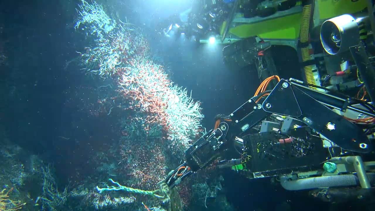
The Rayfin Autonomous Timelapse Camera System from SubC Imaging is being used by University of Rhode Island (URI) researchers to gather long-duration visual datasets from deep-sea habitats in the Gulf of America. Integrated into custom autonomous landers, the imaging systems are designed to operate at depths exceeding 1,500 meters and capture scheduled imagery throughout deployments lasting as long as 365 days.
The work forms part of a wider effort to assess and restore Mesophotic and Deep Benthic Communities (MDBC) affected by the 2010 Deepwater Horizon oil spill. URI is working with the National Oceanic and Atmospheric Administration and the Department of the Interior through the Habitat Assessment and Evaluation (HAE) Project to investigate how these habitats respond to environmental variability over extended periods.
Building a Long-Term Record of Deep-Sea Habitats
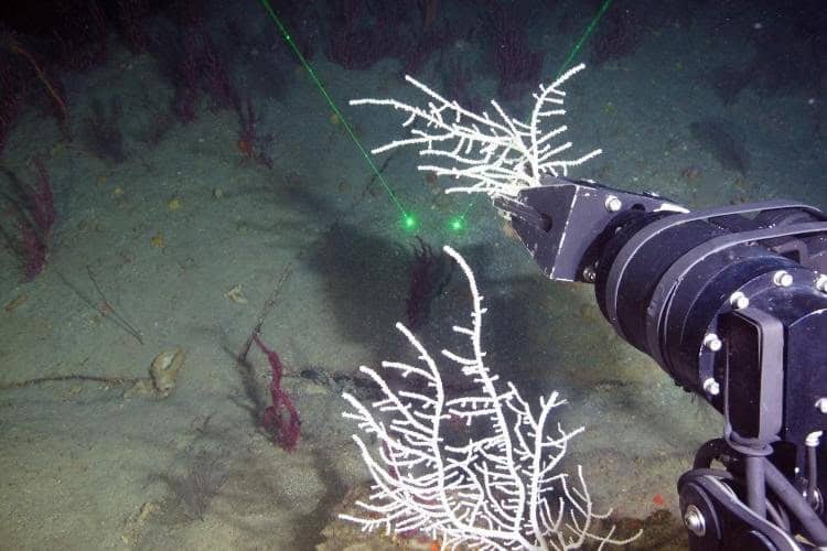
The Deepwater Horizon disaster released millions of barrels of oil into the Gulf of America, formerly known as the Gulf of Mexico. Although effects at the surface could be readily observed, impacts on deep benthic ecosystems, including slow-growing sponge and coral habitats, were much more difficult to document.
Some corals found in these environments can survive for over a thousand years. Understanding recovery therefore requires observations spanning substantially longer periods than conventional short-duration surveys can provide.
One element of the HAE Project is led by Andrew J. Davies, professor in URI’s College of the Environment and Life Sciences and Graduate School of Oceanography. Davies and a team of scientists and students are working to establish continuous time-series datasets that can improve understanding of habitat conditions and restoration potential.
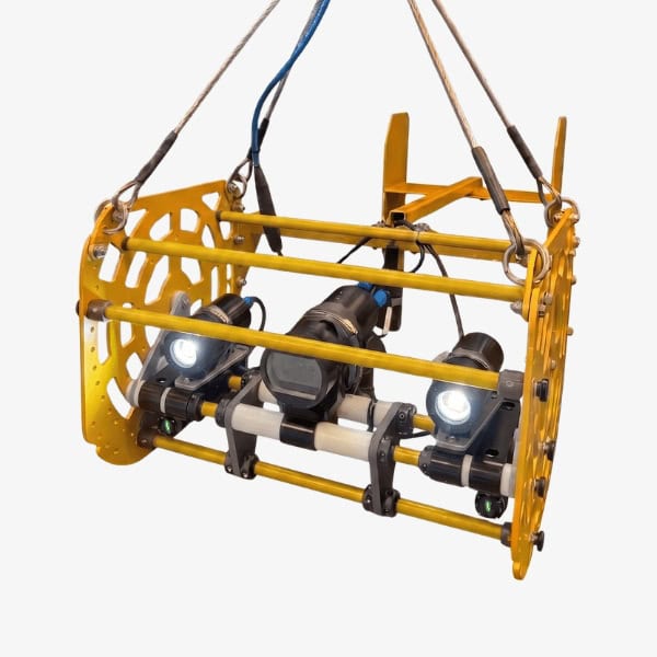
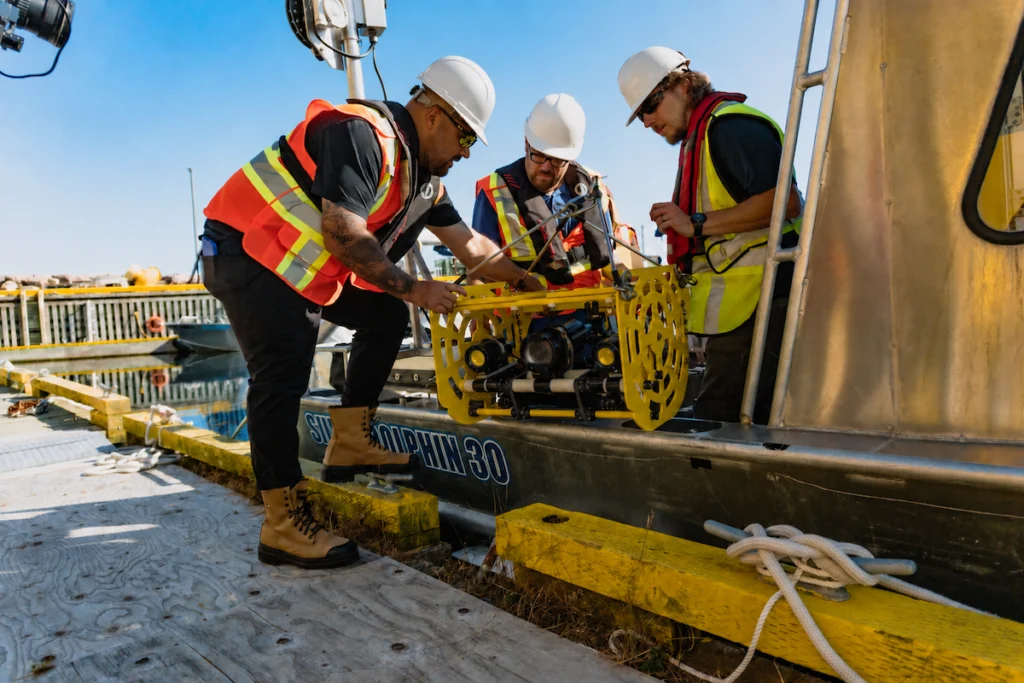
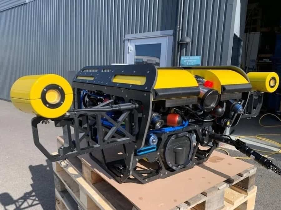
For this research, the team constructed large autonomous landers measuring 7 feet high by 7 feet wide and weighing approximately 2,500 pounds in air. Each platform carries multiple oceanographic sensors and data loggers alongside the imaging equipment.
Collecting useful visual information from these systems presented several technical requirements. Deployments below 1,500 meters expose equipment to pressures exceeding 50 times those encountered at the surface. Imaging hardware therefore needed to remain dependable under these conditions for prolonged periods.
Consistent image quality was equally important. Recorded material needed sufficient clarity to document biological activity, habitat characteristics, and interactions among species while providing visual observations that could be examined alongside measurements from the landers’ environmental sensors.
The third requirement was autonomy. Once a lander reached the seafloor, physical access was unavailable until recovery. Imaging equipment consequently had to control its recording schedule, data storage, and energy consumption without intervention for deployments of up to one year.
Autonomous Imaging at Depth
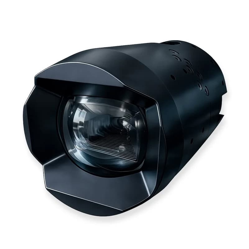
URI selected the SubC Imaging Rayfin Autonomous Timelapse Camera System with hibernate mode for integration with the landers.
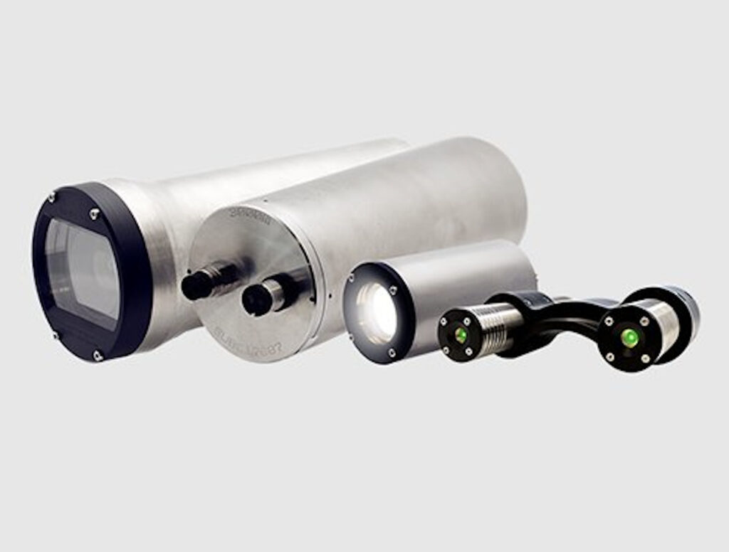
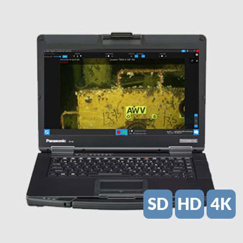
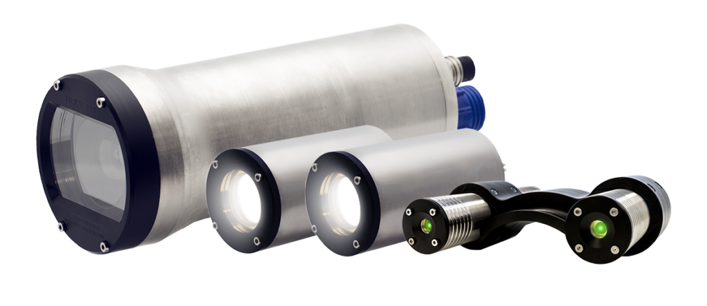
Rated to 6,000m, Rayfin incorporates a 12.3 MP, 12-bit CMOS image sensor and provides both high-resolution still photography and HD and 4K video recording. Date, time, and sensor information can also be logged, with metadata (EXIF) embedded directly within captured images.
The camera uses proprietary water-corrected, scratch-resistant LiquidOptics lenses, providing an 81° diagonal field of view and 10x digital zoom (5x optical zoom equivalent).
Illumination is supplied by SubC’s Aquorea LEDs, which deliver up to 16,000 lumens when operating in lamp mode and 50,000 lumens in strobe mode. The configuration also incorporates SubC Imaging’s MantaRay Parallel Laser, providing a fixed scale reference in captured imagery to enable more consistent visual analysis.
Dr. Jane Carrick, Postdoctoral Scientist and Project Team Member, commented, “With our landers, they’re autonomous and deployed for ideally a full year. There isn’t anything else like SubC’s cameras on the market that could withstand that pressure, capture time-stamped video at set intervals, and last for the full duration. This was the one that fit the bill.”
Extending Operations Through Hibernation
The imaging systems were configured to acquire a still photograph followed by a 10-second video clip at intervals ranging from one to four hours.
Outside these scheduled recording periods, the system switches into a low-power hibernation state. Reducing power consumption between acquisitions allows the cameras to remain operational during deployments extending to a full year.
The programmable recording schedule also enables the researchers to adapt image acquisition to the requirements of individual deployments.
Dr. Carrick added, “Being able to tailor the programming to our needs was really useful. We could set distinct intervals and control how long each clip was. That flexibility was important for getting a full time series over the length of our deployments.”
Combining regularly scheduled imagery with measurements from other instruments aboard the landers provides a means of examining biological activity and habitat conditions in relation to environmental changes over time.
Year-Long Time-Series Observations
Integrating autonomous imaging into the URI landers has enabled the researchers to obtain continuous time-series observations over 365-day deployments, operate the equipment below 1,500 meters, and establish a structured visual dataset for longer-term ecological analysis.
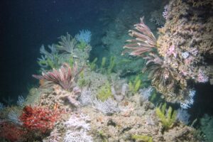
Dr. Carrick commented, “It’s fairly unprecedented to have actual video footage of a habitat over this span of time.”
Imagery gathered at locations extending from Henderson Ridge to the West Florida Escarpment is giving researchers additional information about environmental variability and the ways habitats respond to restoration, protection, and management activities throughout the Gulf of America.
The value of the dataset lies not only in individual images or video sequences, but also in its duration. Repeated observations of the same deep-sea environments provide a visual record that can be considered alongside environmental measurements collected throughout the deployment.
Combining Autonomous Recording with Topside Viewing
As the research progresses, the URI team is considering additional ways to employ the same camera hardware during lander operations.
Long-duration monitoring depends primarily on onboard storage, with recordings retained within the system until equipment is recovered. During lander positioning and setup, however, access to a live topside view can provide immediate visual information to support operational decisions.
The Rayfin Autonomous Timelapse Camera System can accommodate both onboard recording and real-time topside transfer. This allows the imaging configuration to be used for immediate viewing during relevant phases of an operation before supporting autonomous data collection over the subsequent deployment.
For deep-sea lander programs, this capability can provide greater flexibility between deployment activities and long-duration monitoring without requiring a separate imaging arrangement.
Supporting Deep Benthic Habitat Assessment
The URI project demonstrates the requirements involved in collecting sustained visual observations from deep-sea environments. Pressure resistance alone is insufficient for year-long monitoring. Imaging systems must also provide consistent scientific imagery while controlling power consumption, storage, and acquisition schedules over prolonged periods without physical access.
With SubC Imaging cameras incorporated into URI’s custom landers, researchers have gathered visual information below 1,500 meters across deployments lasting as long as a year. Used together with environmental sensor measurements, these observations are contributing to a more detailed understanding of deep benthic community function and environmental variability within the Gulf of America.
Funding for this work was provided by the Mesophotic and Deep Benthic Communities Habitat Assessment and Evaluation Project, which was selected by the Open Ocean Trustee Implementation Group to restore natural resources injured by the 2010 Deepwater Horizon oil spill. Any use of trade, firm, or product names is for descriptive purposes only and does not imply endorsement by the U.S. Government.