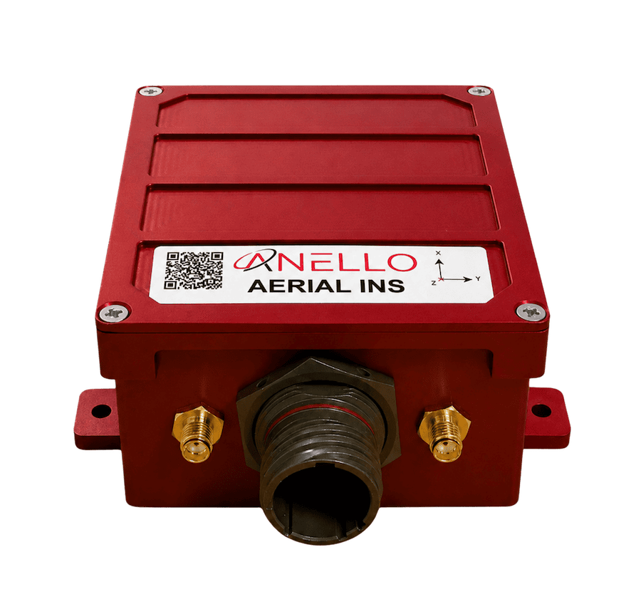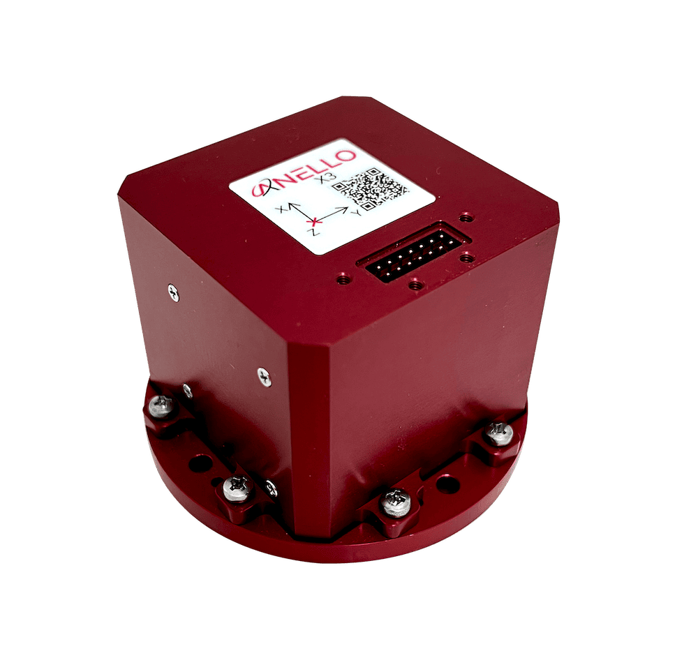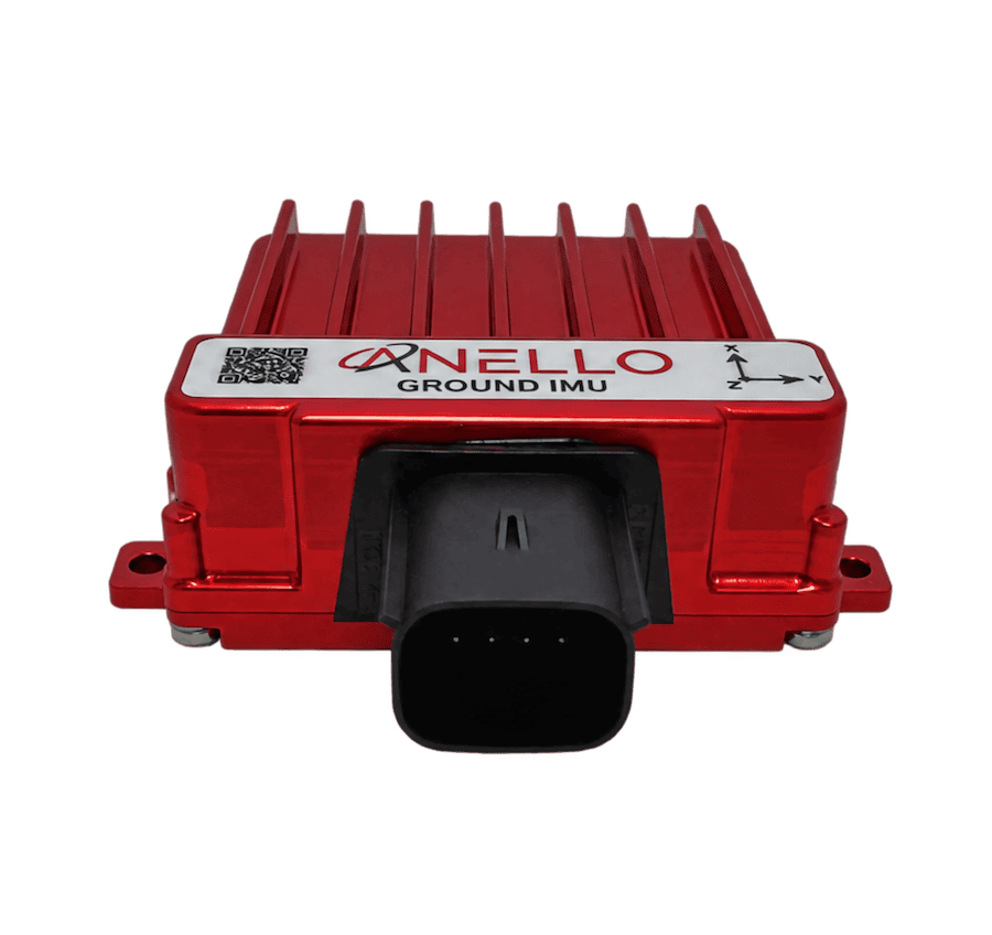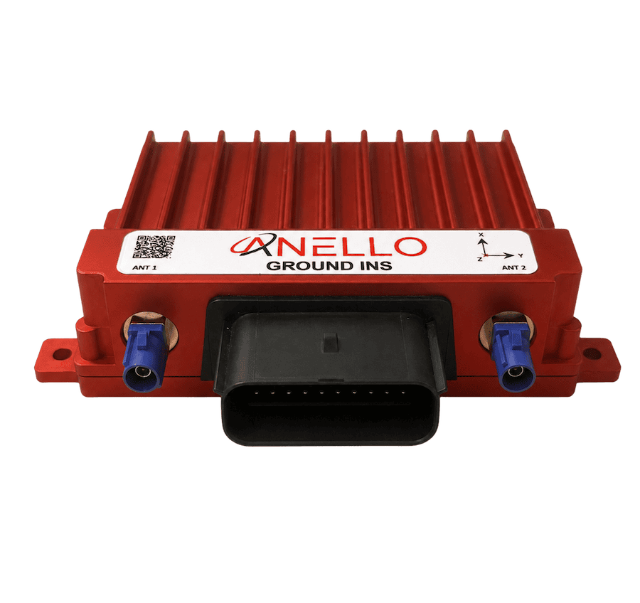
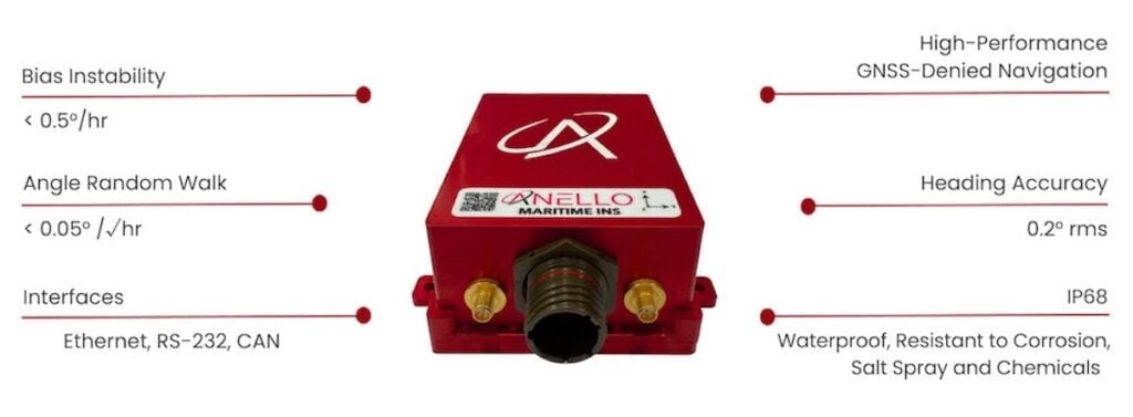
ANELLO Photonics is a leading developer of inertial navigation solutions for GPS-denied environments, based on its disruptive SiPhOG™ (Silicon Photonics Optical Gyroscope) technology.
In this Q&A, UST sat down with ANELLO to discuss how its Maritime INS delivers resilient heading and positioning for autonomous marine platforms operating in GNSS-challenged and GNSS-denied environments.
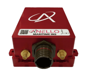
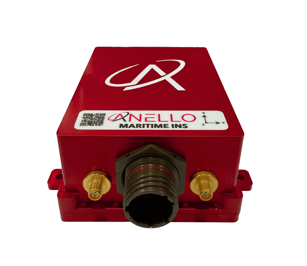
ANELLO Maritime INS.
How does the Maritime INS maintain accurate heading and positioning during extended GNSS outages at sea?
The ANELLO Maritime INS combines 3-axis SiPhOG inertial sensors with ANELLO’s Sensor Fusion Engine and GNSS spoofing detection to maintain accurate heading and positioning in GNSS-challenged and GNSS-denied environments. When GNSS is unavailable, the system continues delivering a high-rate dead-reckoning solution using high-precision SiPhOG inertial measurements and calibrated speed aiding.
What level of unaided heading drift and positional accuracy can operators expect in maritime scenarios where GNSS is completely denied?
Operators can expect <0.5°/hr unaided heading drift from the ANELLO SiPhOG. In full GNSS denial, positional drift depends on outage duration, vessel dynamics, and available aiding inputs. For a representative Unmanned Surface Vessel (USV) configuration relying solely on a paddle wheel speed sensor and operating at speeds above 10 knots, positional drift is typically on the order of 1-2% of total distance traveled. When augmented with a Doppler Velocity Log (DVL) providing accurately calibrated ground-speed measurements, this drift can be reduced to approximately 0.1-0.2% of distance traveled.
Additional performance data and operational context can be found in the Maritime INS case study on the ANELLO website.
How does the system detect and mitigate GNSS spoofing in contested maritime environments?
ANELLO’s GNSS spoofing detection was developed using extensive real-world spoofing data, including maritime exercises and operational deployments. Because the ANELLO Maritime INS combines high-precision inertial sensing with an accurate dead-reckoning solution, it can continuously cross-check incoming GNSS measurements against its inertial position, velocity, and heading solution. When anomalous behavior is detected, the system can de-weight or reject suspect GNSS inputs and maintain navigation continuity using trusted inertial dead reckoning.
What advantages do the dual triple-frequency, multi-constellation GNSS receivers provide for maritime autonomy?
Dual triple-frequency, multi-constellation GNSS receivers give the Maritime INS access to more satellites, greater signal diversity, and improved resilience to interference, multipath, and jamming. Access to L1, L2, and L5 signals enhances GNSS availability in challenging RF environments, as L5 signals may remain accessible even when L1/L2 bands are degraded or jammed. Dual-antenna heading further enables precise heading initialization without relying on a magnetometer or requiring vessel maneuvering to derive heading from single-antenna GPS course-over-ground.
How has the Maritime INS been engineered to withstand salt spray, corrosion, shock, and long-duration deployment at sea?
The ANELLO Maritime INS was engineered and tested for harsh saltwater environments, featuring an IP68-rated enclosure, corrosion-resistant materials, an anodized aluminum housing, and a robust MIL-DTL-38999 connector. Its resistance to salt spray, chemicals, shock, and vibration makes it well suited for long-duration deployment on USVs, Autonomous Underwater Vehicles (AUVs), and other demanding marine platforms.
How does the Maritime INS balance reference-grade performance with a compact footprint and power consumption below 6W for SWaP-sensitive USVs and AUVs?
Historically, navigation teams often had to choose between the performance of larger optical systems and the SWaP advantages of lower-cost MEMS solutions. The ANELLO SiPhOG bridges that gap by bringing high-precision optical gyro performance into a compact, lightweight, low-power package. The result is a reference-grade 100 Hz position, velocity, and attitude solution featuring dual triple-frequency GNSS, dual-antenna heading, and open-standard interfaces including Ethernet, CAN, serial, NMEA 0183, and NMEA 2000, all in a system that consumes under 6 W.
Thank you for your time. It has been a pleasure speaking with ANELLO, and we look forward to following the continued evolution of advanced inertial navigation technologies for maritime and autonomous systems applications.