

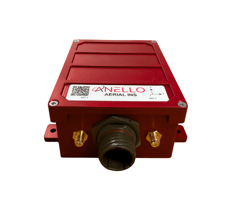
The ANELLO Aerial INS from ANELLO Photonics delivers high-accuracy inertial navigation for uncrewed aerial platforms operating in GPS-denied or contested environments. Powered by ANELLO’s proprietary SiPhOG™ optical gyro technology, the system provides reference-grade positioning, velocity, and attitude data at 100 Hz, ensuring robust navigation integrity for autonomous aircraft, UAVs, and aerial survey systems. Its AI Sensor Fusion Engine enhances resilience by detecting GNSS spoofing and integrating multi-sensor inputs for continuous situational awareness.
Designed for resilience under demanding aerial conditions, the Aerial INS maintains accuracy through heavy vibration and shock, with less than 0.5°/hr unaided heading drift. Dual triple-frequency GNSS receivers and a highly accurate dead-reckoning algorithm enable seamless operation in GNSS-denied areas. Its compact, lightweight, and IP68-rated construction ensures durability against water, corrosion, and chemical exposure—all while maintaining a power draw under 6 W, ideal for size-, weight-, and power-sensitive platforms.
The ANELLO Aerial INS is well-suited for a broad range of autonomous aerial missions, including ISR and tactical surveillance, cargo delivery, aerial mapping, and infrastructure inspection. Its precise, spoof-resistant navigation performance enables sustained operations in complex terrain and contested electromagnetic environments, ensuring flight continuity where GNSS availability is limited or compromised.

| Dimensions: | 4.4” x 3.4” x 1.9” |
| Weight: | 0.75 lbs |
| Power: | 5 to 30 VDC, < 6 W typical |
| Gyro Range: | 400°/s |
| Gyro Bias Instability: | < 0.5°/hr |
| ARW: | < 0.05°/√hr |
| Accel Range: | 16g |
| Accel Bias Instability: | 10μg |
| VRW: | 0.03 m/s/√hr |
| Positioning Accuracy: | SPS: 1.2 m cep RTK: 0.02 m cep 60s GNSS Outage: < 1.0 m RMS |
| Velocity Accuracy: | 0.03 m/s RMS |
| Heading Accuracy: | 0.2o RMS |
| Pitch/Roll Accuracy: | 0.05o RMS |
| GNSS Signals: | GPS, GLONASS, Beidou, Galileo, QZSS, NavIC, SBAS, all L-band signals |


