
RTKsub
Verified companies work with us to ensure we display the most up-to-date and comprehensive product information, articles and other material to help you choose the right solution for your requirements.
RTKsub provides real-time GNSS corrections for OEMs, system integrators and operators of UAVs, UGVs, USVs, robots and other autonomous platforms that require accurate and repeatable positioning.
Centimeter-level positioning supports precision navigation, mapping, surveying, inspection and automated operations where reliable and repeatable location data is essential.
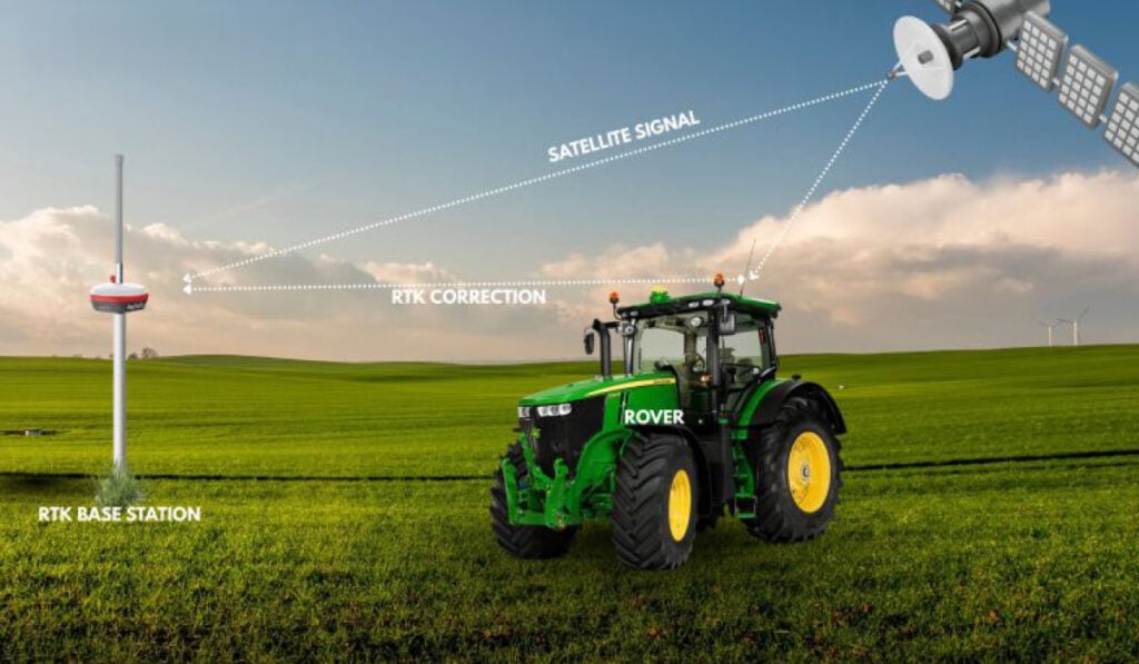
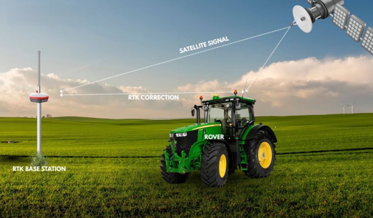
RTKsub delivers real-time correction data via NTRIP for fast and reliable positioning of RTK-capable systems in motion. Correction streams support GPS, Galileo, GLONASS and BeiDou.
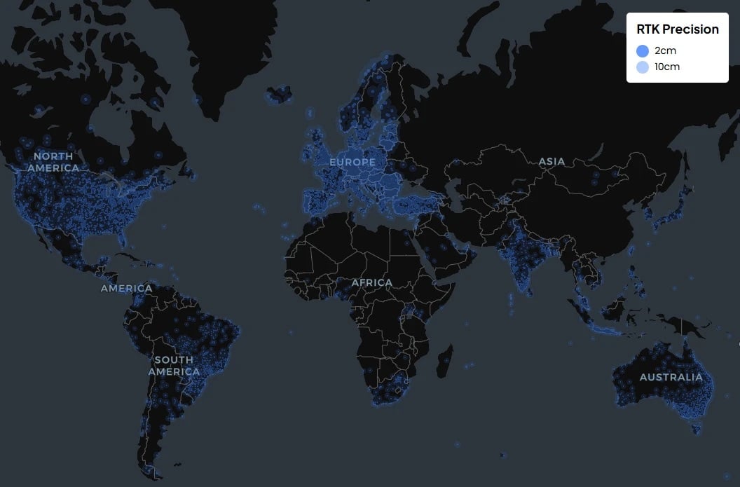
Access RTK corrections through a global network of 22,000+ base stations across 170+ countries. Operators can check coverage for available stations near their project location.
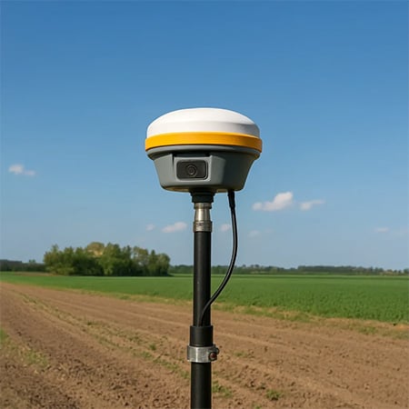
RTKsub uses the standard NTRIP protocol and works with compatible RTK-capable GNSS equipment. Setup is straightforward, with support available for configuration and field use.
| Standalone GNSS | RTK with RTKsub | |
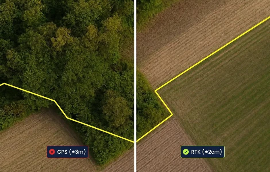
| Positioning Accuracy | Meter-level | Centimeter-level* |
| Real-Time Corrections | No | Yes, via NTRIP |
| Repeatability | Limited | High with RTK fix |
| Correction Source | None | Global RTK network |
*Performance depends on equipment, satellite visibility, network coverage and operating conditions.
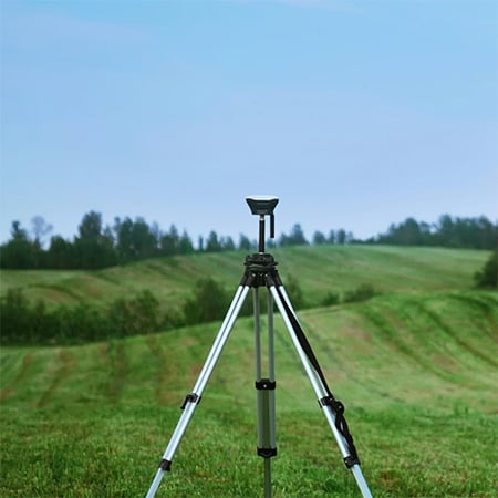
RTKsub supports professional positioning workflows across drones, robotics, surveying, construction, agriculture and autonomous systems.
Drones
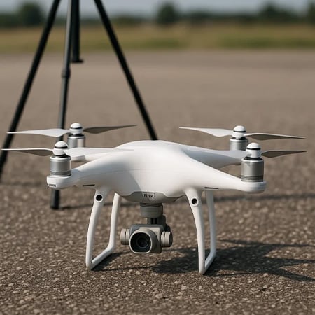
Centimeter-level positioning for drone mapping, inspections and automated flight operations. Compatible RTK equipment connects to real-time correction data through NTRIP.
Precision Navigation
Accurate and repeatable positioning for robots, autonomous machines and other unmanned systems operating in precision-critical environments.
Aerial Surveying
Precisely positioned aerial data for mapping, modelling and measurement workflows using RTK-capable drones.
Automated Vehicle Control
RTK corrections support repeatable driving patterns, automated steering and accurate navigation for autonomous ground vehicles and mobile equipment.
Land Surveying
Real-time positioning for surveying, mapping and measurement applications requiring accurate and repeatable GNSS data.
Construction & Infrastructure
RTK positioning for machine control, site surveying, drone mapping and other construction and infrastructure applications.
Agriculture
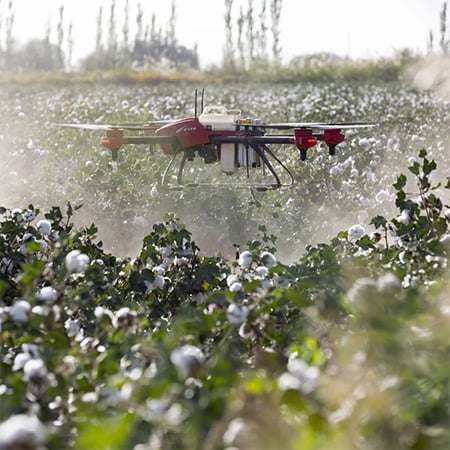
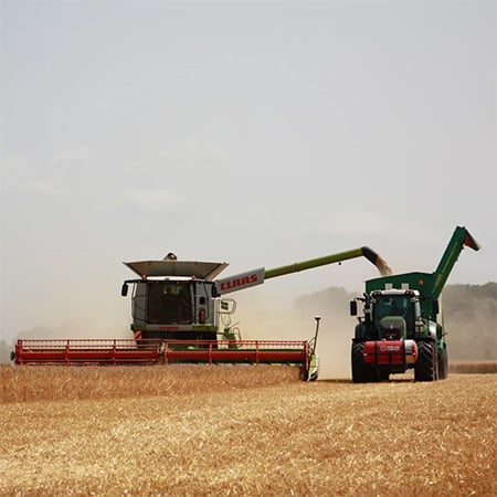
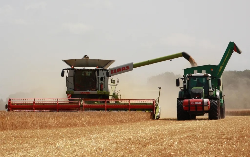
Precision positioning for automated steering, field guidance, planting and other GNSS-enabled agricultural operations.
Mobility & Autonomy
Real-time GNSS correction data for autonomous and intelligent vehicles requiring accurate positioning during operation.
170+
countries with RTK coverage
22,000+
base stations worldwide
Coverage depends on local network availability. Check the coverage map for stations serving your operating area.
Each standard RTKsub subscription includes one license with one correction data stream. Monthly, annual and long-term options are available for temporary projects as well as continuous operations.
RTKsub can be tested for 30 days without providing credit card details, allowing users to verify compatibility, coverage and performance with their own equipment before selecting a subscription.
Enterprise options are available for organizations requiring multiple licenses or larger deployments, with tailored access and support.
Explore practical articles from RTKsub covering NTRIP, RTK positioning, GNSS integration and applications for drones, surveying, agriculture, construction and autonomous systems.
View all: RTKsub Knowledge Center