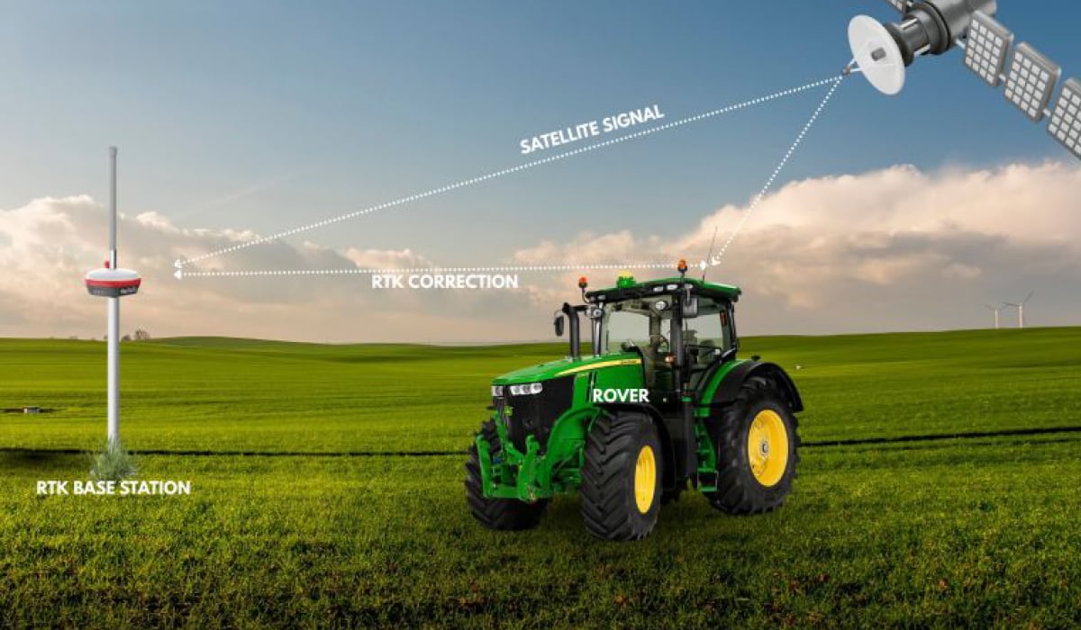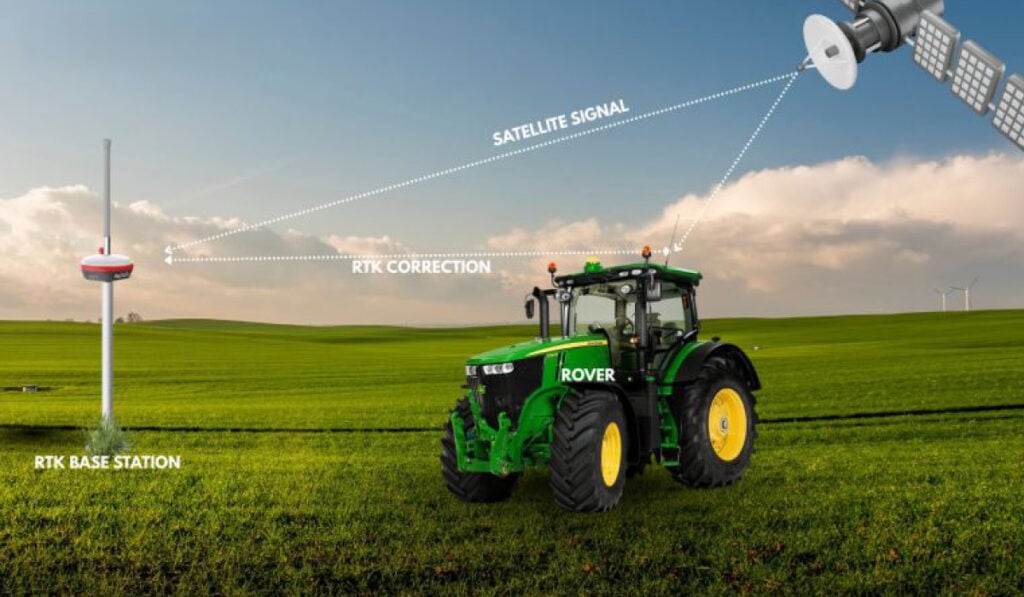
Access to current geospatial data is essential for field operations involving drones, autonomous equipment, infrastructure inspections, and agricultural monitoring. RTKsub examines how real-time kinematic (RTK) correction supports accurate positioning and faster operational decisions, reducing reliance on outdated mapping information and delayed data processing.
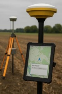 In environments where conditions change rapidly, access to continuously updated positioning data allows operators to respond to developments as they occur. Real-time correction plays an important role in maintaining positional accuracy across mobile platforms, sensors, and field-based equipment.
Real-Time Positioning in Dynamic Environments
Construction sites, disaster-affected areas, and remote agricultural locations can undergo significant changes within short periods. Positioning information collected earlier may no longer accurately represent current conditions, creating challenges for equipment guidance, mapping, and inspection activities.
Live RTK correction enables drones, vehicles, and sensors to receive updated positioning information during operations. This allows field personnel to make decisions using current location data rather than relying on previously recorded coordinates.
By reducing positioning uncertainty and the potential for human error, real-time updates help operators maintain alignment between field activities and actual ground conditions.
Continuous Corrections Through NTRIP Connectivity
Maintaining accurate positioning throughout a field operation requires more than an initial coordinate fix. RTK receivers need ongoing correction information to account for positioning errors as equipment moves or operating conditions change.
Networked Transport of RTCM via Internet Protocol (NTRIP) enables correction data to be transmitted from a reference station or RTK network to a connected receiver. With stable mobile network connectivity, this approach can support continuous correction streams, including in remote operating environments.
Rather than depending on a single positioning measurement, receivers obtain ongoing updates throughout the task. This helps maintain consistent positional accuracy across different terrain, operating periods, and applications.
Reducing Dependence on Post-Processing
Conventional positioning workflows may require collected GPS data to undergo post-processing to correct positional drift. Although this approach can improve the accuracy of recorded information, it introduces an additional stage between data acquisition and operational use.
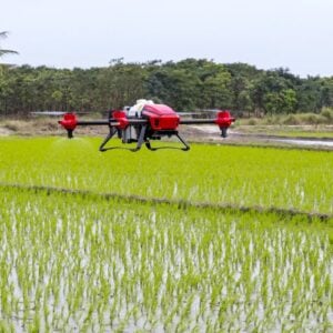 Real-time RTK correction provides an alternative by applying positioning corrections as measurements are collected, enabling centimeter-level accuracy without waiting for subsequent processing.
This capability is particularly relevant when accurate positioning is required during an active operation. Applications include autonomous equipment guidance, time-sensitive infrastructure inspections, rapid mapping, and on-site geospatial data collection.
Removing the need for a separate correction stage can reduce delays between data capture and its use in field operations, particularly where equipment movements or operational decisions depend on current positioning information.
Supporting Accurate Decisions in the Field
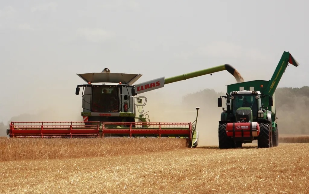
Real-time positioning has applications across agriculture, construction, infrastructure monitoring, and autonomous vehicle operations. In each case, the ability to access continuously corrected location data can help operators respond to changing conditions while maintaining the positional accuracy required for their tasks.
As field activities increasingly depend on timely geospatial information, continuous RTK correction provides a means of integrating accurate positioning directly into operational workflows, reducing delays associated with outdated data and post-processing.
Read Why Real-Time Data is the Future of Field Operations on the RTKsub website.