

Discover World-Leading Unmanned and Autonomous Technologies
Discover cutting-edge solutions from leading global suppliers
October’s most-read stories on Unmanned Systems Technology covered developments in planetary exploration, tactical strike systems, long-range communications, high-altitude weather data collection, and aerial surveying.
The stories spanned a wide range of applications, highlighting both the expanding roles of uncrewed platforms and the importance of the drive systems, data links, sensing technologies, and payload integrations that support them.
maxon Drives Support NASA’s Perseverance Rover on Mars Mission
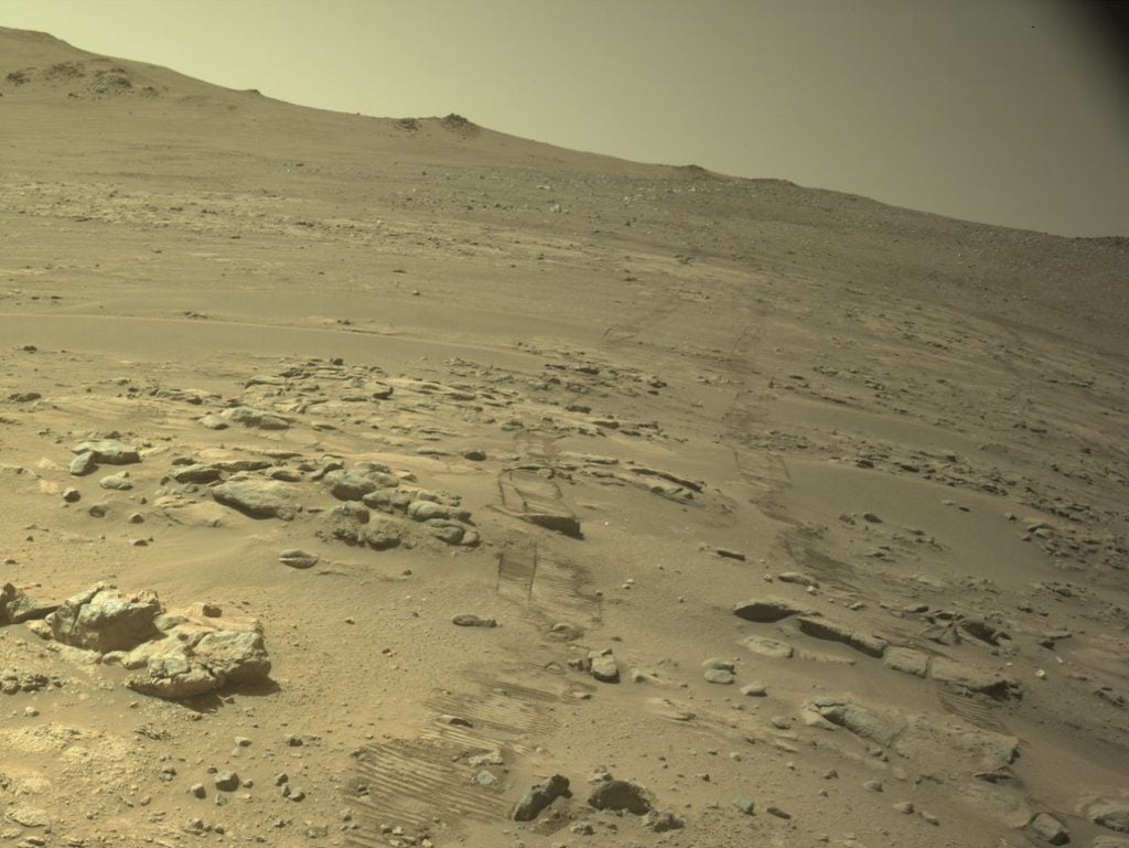
maxon has supported NASA’s Perseverance rover as it sets a new off-world driving record, with ten maxon drives performing mission-critical functions within the rover’s sample handling system. On October 11th, 2026, Perseverance’s odometer reached 28.10 miles, surpassing the previous record of 28.06 miles set by NASA’s Opportunity rover.
Skyeton Launches Tactical Strike UAS Built on Combat-Proven Raybird Platform
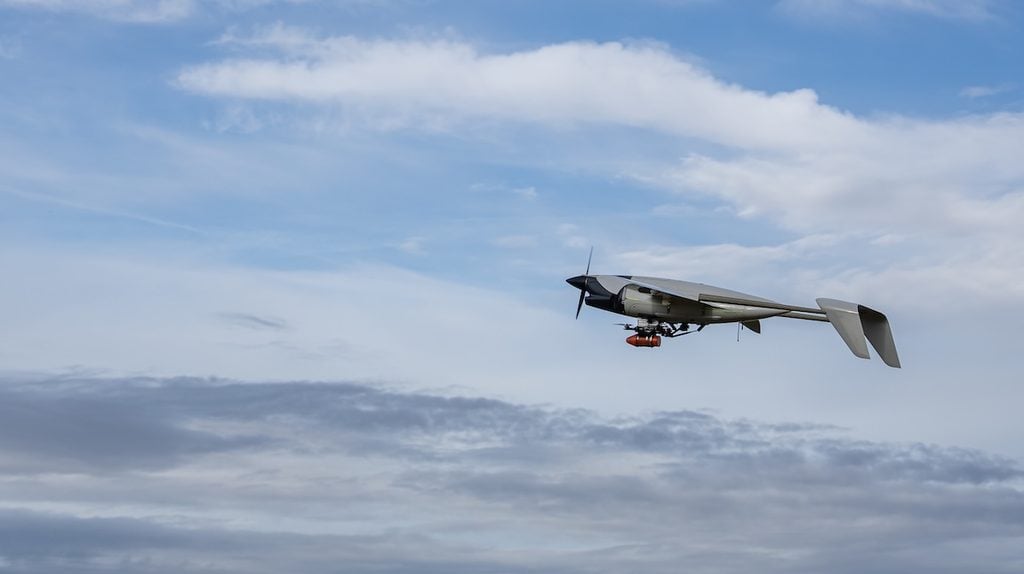
Ukrainian-born Unmanned Aerial System (UAS) manufacturer Skyeton has launched the Stormbird, a tactical fixed-wing UAS purpose-built for precision strike missions in dynamic combat environments. The new platform builds on the architecture of Skyeton’s combat-proven Raybird UAS, drawing on more than 350,000 flight hours of operational experience gained in Ukraine.
New Simpulse SL300-R Provides Long-Range Data Links for UAVs
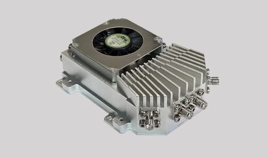
Simpulse, a developer of long-range radio data links for Unmanned Aerial Vehicles (UAVs) and Unmanned Ground Vehicles (UGVs), introduces the SL300-R, a rugged Software-Defined Radio (SDR) modem designed for reliable mobile data and live video transmission in demanding environments.
Meteomatics Unveils High-Altitude Multirotor Drone to Reframe Stratospheric Weather Intelligence
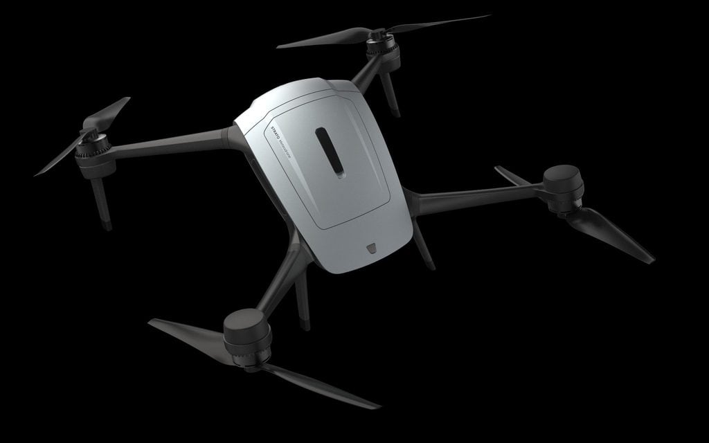
Meteomatics has launched a next-generation multicopter drone capable of gathering vertical atmospheric profile data up into the stratosphere. The autonomous aircraft, named Strato, reached a record altitude of 34,245ft (10,438m), reaching heights beyond the reach of commercial helicopters.
YellowScan Introduces New LiDAR Integration Solutions for DJI Matrice 400
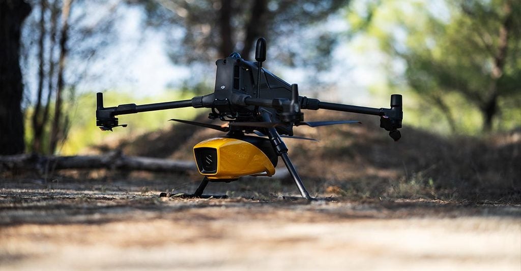
YellowScan has introduced new integration solutions for the DJI Matrice 400, enabling operators to deploy the company’s full range of LiDAR payloads from a single drone platform. The new solutions comprise a Universal Mounting Bracket and Landing Gear Extenders.