Multirotor Drones
Discover cutting-edge solutions from 22 leading global suppliers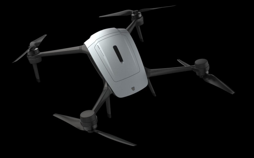
Meteomatics has launched a next-generation multicopter drone capable of gathering vertical atmospheric profile data up into the stratosphere.
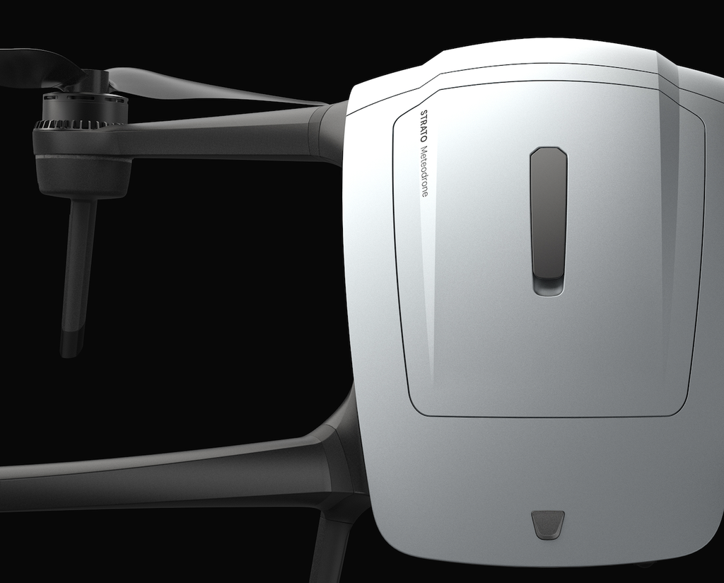
The autonomous aircraft, named Strato, reached a record altitude of 34,245ft (10,438m), reaching heights beyond the reach of commercial helicopters. Designed to measure temperature, humidity, pressure, and wind speed continuously from the surface upward, the drone provides a reusable alternative to radiosonde weather balloons, which have served as the standard mechanism for atmospheric sounding for nearly a century.
Despite advances in meteorological technology, regional observation networks face persistent coverage gaps in the upper troposphere. This critical region contains the jet streams, where rapid shifts in wind vector and thermal gradients directly impact commercial flight paths, aerospace schedule management, and orbital launch windows. Because conventional weather balloons launch on fixed twice-daily schedules, operators often make mission-critical decisions without real-time, location-specific atmospheric profiles.
Strato is said to address this operational blind spot by delivering targetable profile gathering during both ascent and descent, returning to its launch point ready for immediate redeployment. The system reaches altitudes nearly 20 feet higher than the company’s previous Meteodrone models, capturing high-resolution vertical datasets that feed directly into Meteomatics’ proprietary high-resolution forecast models, including US1k and Euro1k.
Dr. Martin Fengler, CEO of Meteomatics, said, “Ten years ago, a drone that effectively flew into the stratosphere to collect weather data was a pipe dream. Today, we’ve made it a reality. The jet stream is basically the highway that every weather system travels on in the Northern Hemisphere, west to east. For the aviation industry, accurate insights into this area are integral not only to business success, but to consumer lives. If the data isn’t located correctly relative to the jet stream, the forecast won’t be reliable either. With Strato, we are looking to fill a century-old blind spot for these businesses globally.”

To endure high-altitude environmental flight regimes, Strato features an aerodynamic airframe engineered to maintain stable operation in sustained winds up to 80 mph through active wind-mode control dynamics. The platform incorporates a waterproof structure for wet-weather operations, alongside an integrated active de-icing thermal management system that automatically heats rotor blades upon detecting atmospheric icing conditions. Telemetry data, including real-time altitude, wind velocity, thermal profiles, and icing state alerts, is transmitted continuously to ground operators throughout the flight envelope.
Operating alongside the company’s existing Meteodrone Tropo, Strato expands both the domain and fidelity of autonomous atmospheric data collection, establishing a repeatable observation framework to support defense, aviation, and aerospace operations dependent on dynamic weather conditions.