Ground Control, a developer of Satellite Communications (SATCOM) and IoT solutions for drones and robotics, has been selected as one of three qualified vendors in Den Norske Kriegsforsikring (DNK)’s new tracking program addressing satellite navigation disruption in high-risk maritime zones.
The initiative responds to the growing risk of Global Navigation Satellite System (GNSS) jamming and spoofing affecting commercial shipping in areas including the Red Sea and Persian Gulf. Replacing DNK’s previous Raptor scheme, the new multi-vendor initiative gives member organizations the flexibility to select tracking solutions that match their operational requirements.
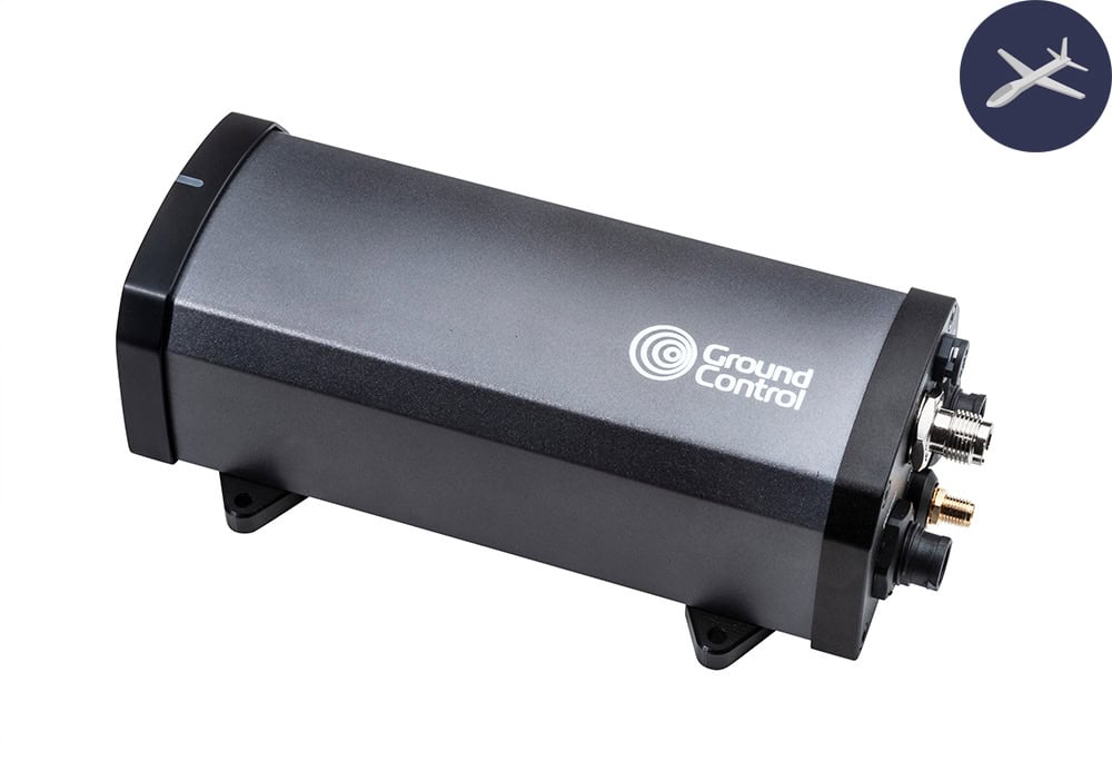
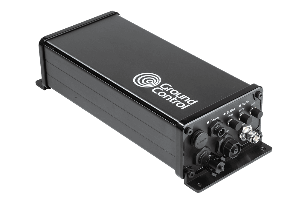
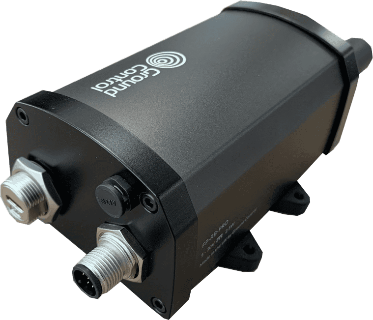
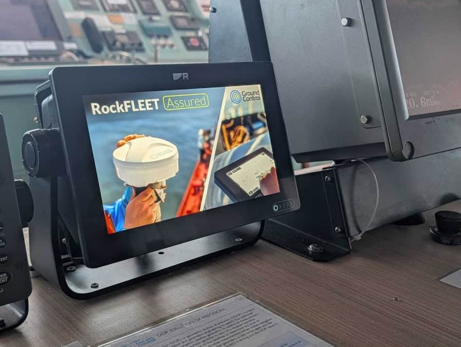
As part of its offering for the program, Ground Control provides its RockFLEET Assured device, a compact, marine-grade tracker that integrates Iridium satellite positioning and timing (Iridium STL). The system delivers independent position reporting when conventional GNSS signals are compromised, providing bridge integrity alerts, two-way satellite messaging, and full fleet visibility through Ground Control’s Cloudloop tracking platform.
Alastair MacLeod, Chief Executive of Ground Control, commented, “GNSS spoofing and jamming have become persistent operational realities, particularly across contested maritime zones this year. Commercial shipping now faces active, escalating threats to position reliability in high risk waters.”
Designed for straightforward adoption, RockFLEET Assured requires simple integration using standard NMEA protocols, allowing vessels to incorporate the technology within existing bridge systems. The platform is already operational on commercial vessels in high-risk waters and integrates with DNK’s War Risk Insurance framework, providing member organizations with a practical, field-proven approach to independent position verification.
MacLeod added, “Our partnership with DNK enables vessel operators to maintain trusted positioning and situational awareness where conventional GNSS cannot be relied upon. We are pleased to support DNK members in strengthening the resilience of their position, navigation and timing infrastructure.”