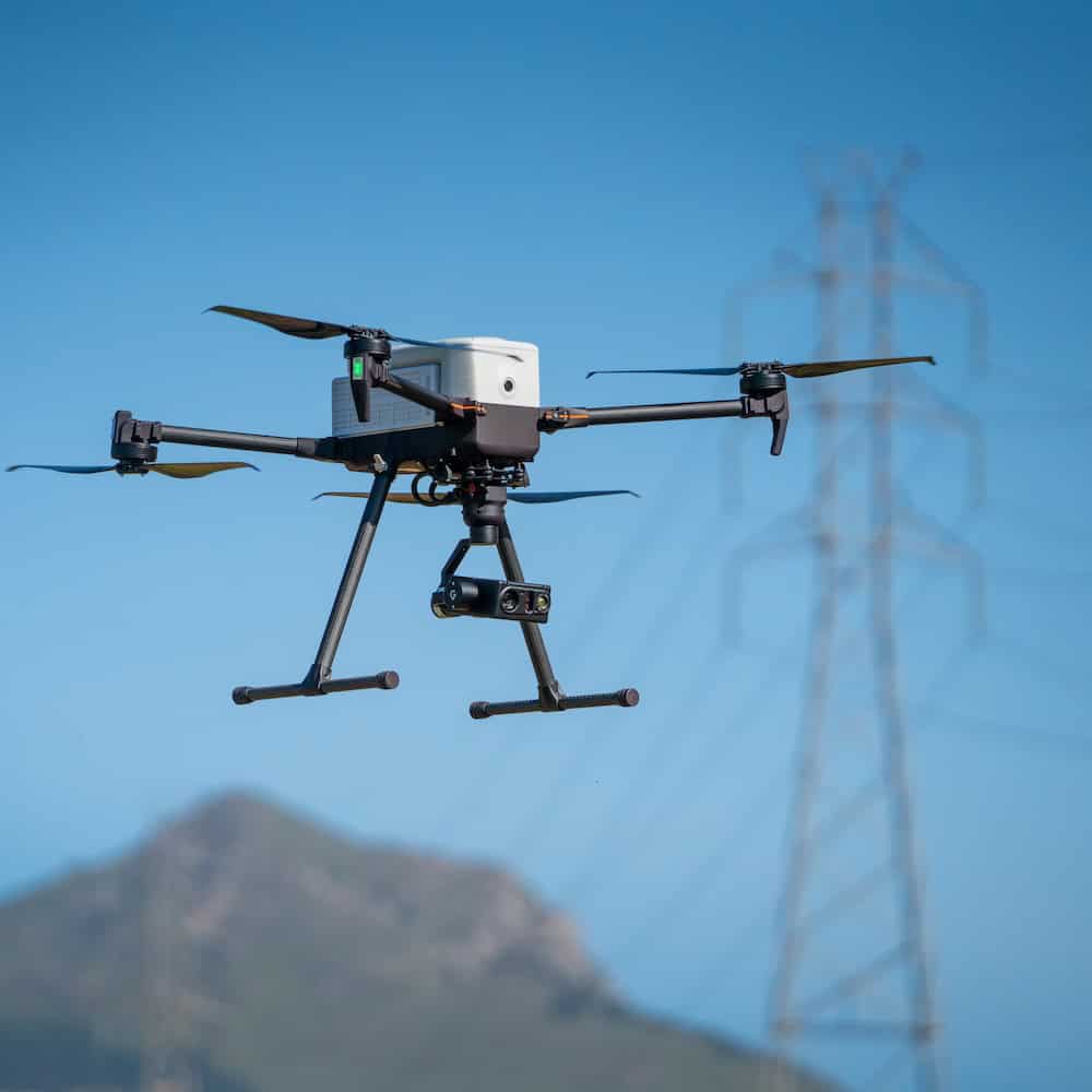
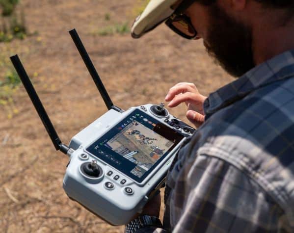
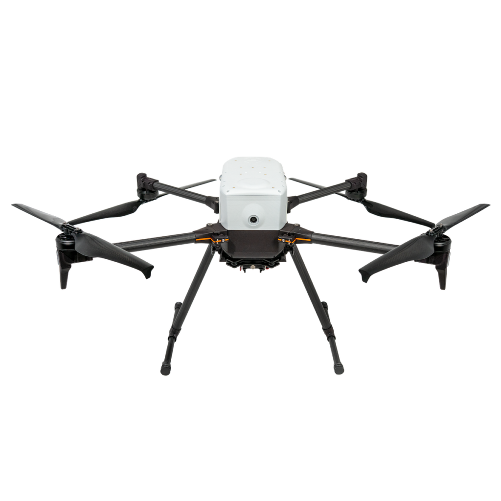
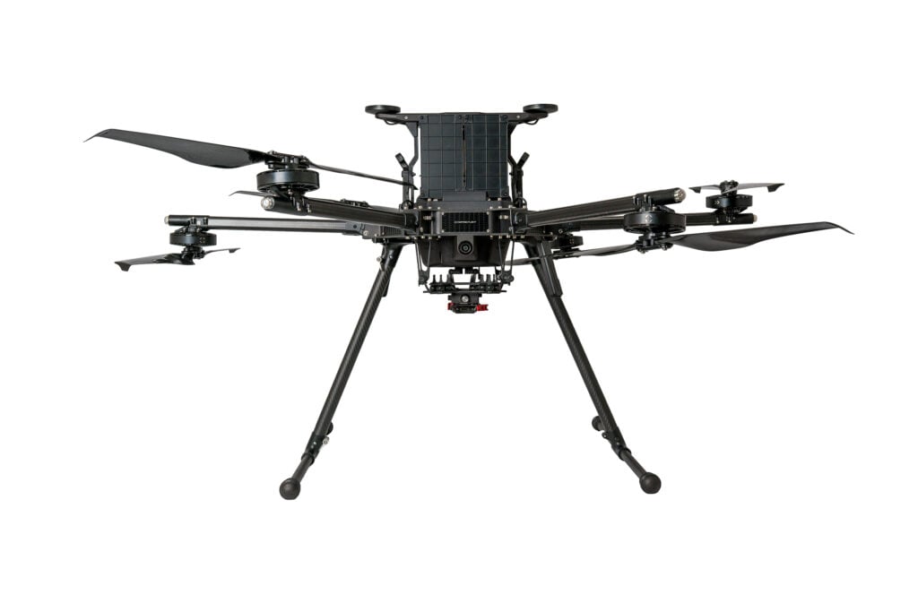
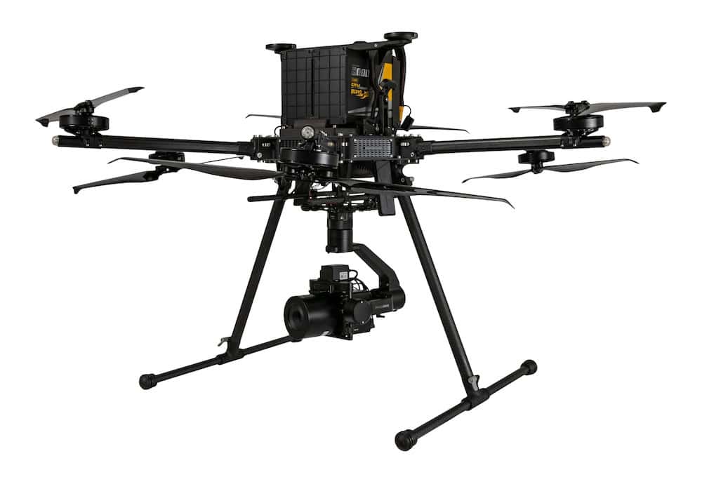
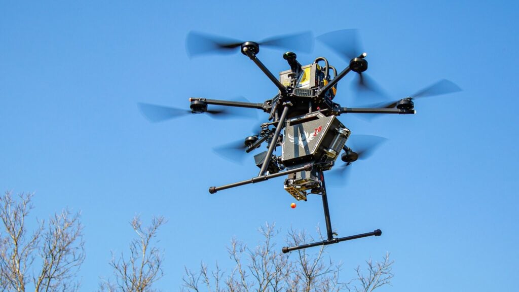
One of the biggest questions I’ve been asked over the last 12 months is, “What NDAA-compliant drone system should I buy?” As the United States continues to shift toward NDAA-compliant systems, I wanted to put together a full setup and see how it actually performs in the real world. In this video, I’m using the Inspired Flight IF800, GeoCue TrueView 641 (TV641) LiDAR, and Sentera 65R mapping camera for real-world LiDAR, photogrammetry, surveying, and mapping projects. The big question is, do these NDAA-compliant systems actually hold up to the demands of professional work, or are there still compromises that need to be made?