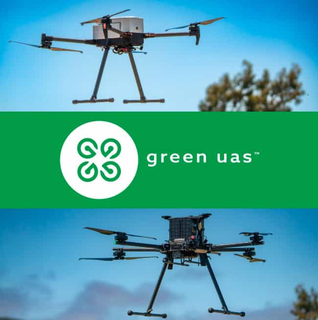
As educational drone programs expand beyond flight instruction into aerial data collection, applied research, and workforce development, Inspired Flight Technologies examines how configurable UAS can accommodate the changing requirements of academic institutions. Read more >>
The role of drones varies considerably between educational settings. Technical colleges may use unmanned aircraft systems (UAS) to establish aviation training pathways, while universities may require aircraft for surveying, environmental monitoring, engineering projects, or research campaigns involving multiple sensors.
These requirements can also evolve. An aircraft initially purchased for coursework may subsequently support student capstone projects, funded research, or activities across several academic departments. Selecting an appropriate platform therefore involves considering both immediate operational needs and its ability to accommodate future applications.
UAS Applications Across Educational Disciplines
Educational institutions increasingly use drones as aerial data-collection platforms, with applications determined by the sensor configuration and associated teaching or research objectives.
Common applications include LiDAR mapping, multispectral imaging, photogrammetry, thermal data collection, agricultural field trials, environmental monitoring, infrastructure inspection, and geophysical research.
UAS also provides opportunities for practical instruction in mission planning, flight operations, payload integration, maintenance, and geospatial data processing.
The requirements of individual departments can differ substantially. Surveying and GIS programs may prioritize professional mapping workflows, while engineering and robotics students may need platforms that accommodate custom integrations and experimental instrumentation.
For institutions establishing shared UAS resources, aircraft capable of accepting different payloads can reduce the need to purchase separate platforms for individual applications.
Selecting Aircraft for Educational and Research Programs
Institutional UAS procurement requires consideration of factors beyond conventional flight performance, including sensor compatibility, accurate positioning, repeatable autonomous missions, software interoperability, and the ability to accommodate multiple operators.
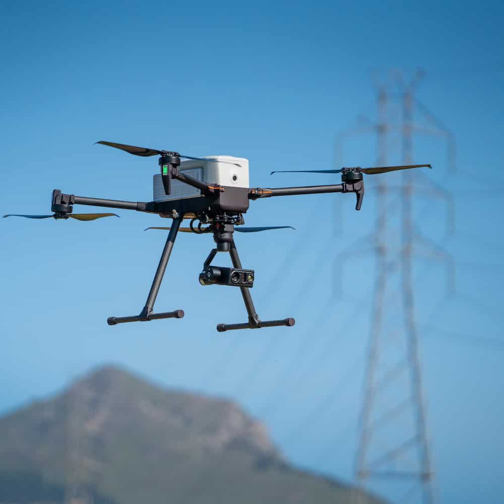
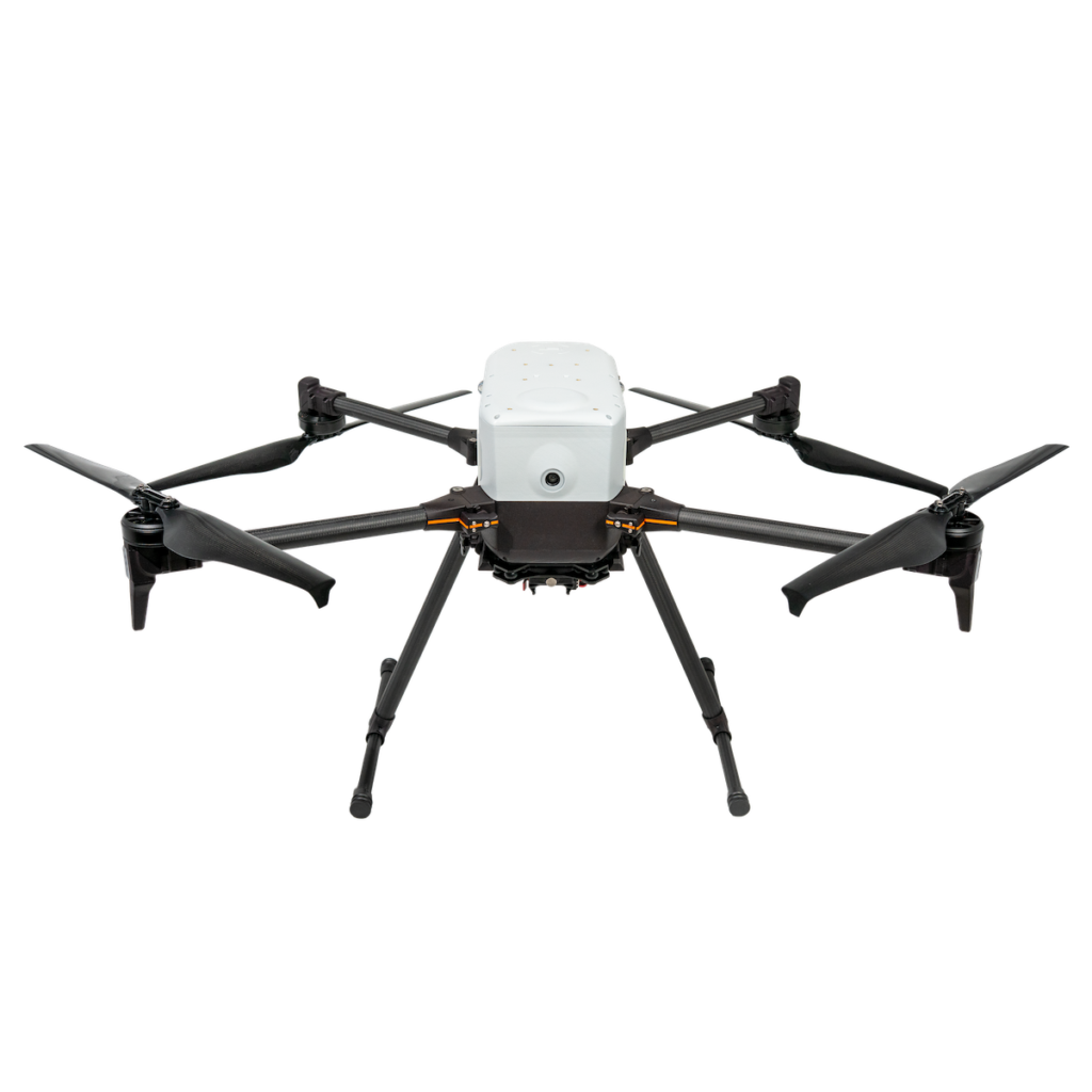
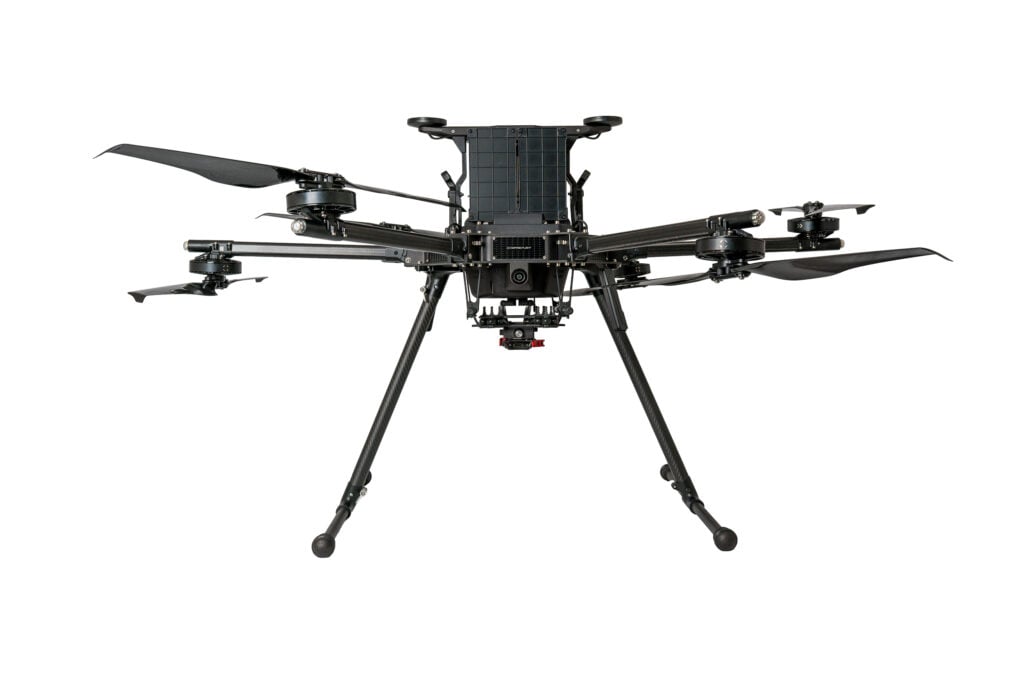
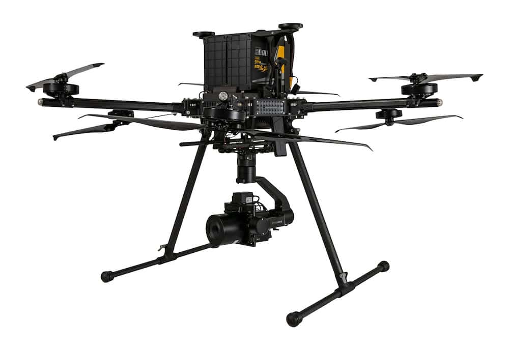
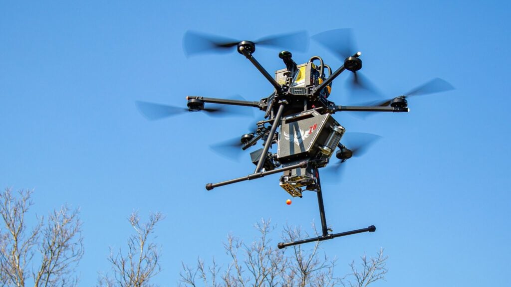
Inspired Flight’s IF800 Tomcat and IF1200 address different educational and research requirements, with a common payload standard and operating workflow that allows compatible sensors and trained operators to move between the two aircraft.
IF800 Tomcat
The IF800 Tomcat is suited to coursework, technical training, field trials, and departmental research. It supports RGB, thermal, multispectral, integrated LiDAR, and geophysical payloads.
The aircraft provides an endurance of 54 minutes, with more than 35 minutes when carrying a 3.3 lb payload, and has a maximum payload capacity of 6.6 lb.
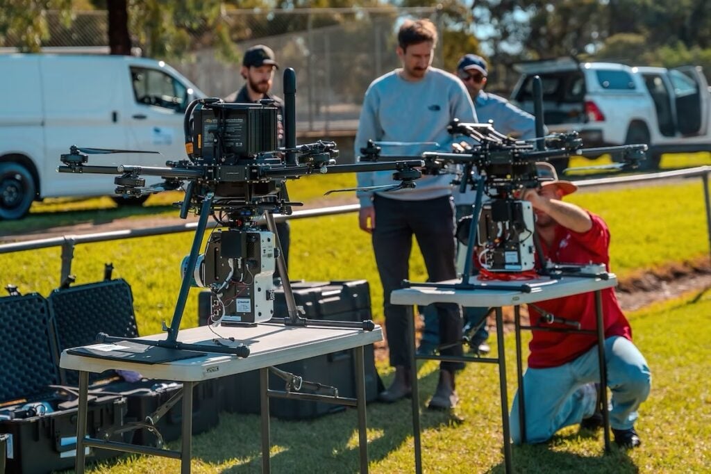
Its portability is particularly relevant to programs involving frequent transportation between classrooms and field sites, where students require regular hands-on experience with professional UAS equipment.
IF1200
For research involving heavier instrumentation, the IF1200 supports hyperspectral systems, multi-sensor missions, and custom integrations, including dual-payload configurations beyond the IF800’s capacity.
The aircraft has a maximum payload capacity of 19 lb and an endurance of 43 minutes, with more than 35 minutes when carrying an 11 lb payload.
These capabilities make it applicable to funded studies, specialized research projects, and shared institutional fleets requiring different sensor configurations.
Integrating Sensors for Specialized Research
The measurement requirements of an academic project largely determine the appropriate UAS payload.
RGB cameras support aerial imagery, photogrammetry, and visual documentation, while multispectral sensors collect information across multiple spectral bands for research involving vegetation, agriculture, environmental conditions, and plant response.
For example, an IF800 equipped with a Sentera 6X has been used to collect multispectral data for early-stage crop management, distinguishing healthy growth from nitrogen stress and patchy stands.
Thermal payloads provide surface temperature information, while LiDAR sensors collect three-dimensional point-cloud data for terrain, vegetation, infrastructure, and environmental research. LiDAR is particularly relevant where vegetation obscures the ground surface.
Hyperspectral systems provide substantially more spectral information than RGB or multispectral cameras and can support specialized remote-sensing and phenotyping research, including multi-modal sensing applications such as APPN’s field phenomics work.
Some academic projects also require experimental instruments that were not originally developed for commercial drone platforms. Inspired Flight’s open platform architecture supports off-the-shelf sensors alongside custom research integrations, with onboard computing capabilities providing additional flexibility for specialized applications.
Multi-Sensor Mapping at San Luis Obispo Creek
The ability to carry multiple sensors simultaneously was demonstrated during a Cal Poly research project involving an eight-kilometer section of San Luis Obispo Creek.
Researchers deployed an Inspired Flight IF1200 equipped with three payloads: a YellowScan Explorer LiDAR sensor, Sony A6000 RGB camera, and MicaSense Altum multispectral sensor.
The objective was to map a creek channel obscured by dense vegetation, where conventional photogrammetry alone could not adequately resolve the underlying terrain.
Collecting all three datasets during a single mission allowed the team to obtain bare-earth terrain information from one site visit. The resulting data supported flood-mitigation planning for the city.
The project illustrates how simultaneous sensor integration can support research requiring complementary measurement technologies without conducting separate flights for each payload.
LiDAR Surveying Reveals Unmarked Graves in Knoxville
A separate application involved the University of Tennessee’s GIS Outreach and Engagement Lab, which deployed an IF1200 equipped with a GeoCue TV515 to survey a historic cemetery in Knoxville.
The aircraft covered approximately 40 acres during a single flight at an altitude of 65 meters. Although the initial objective was to locate headstones concealed beneath heavy vegetation, the collected data revealed subtle terrain depressions corresponding to unmarked graves, including clusters beyond the cemetery’s previously assumed boundary.
Researchers identified these features using a one-centimeter elevation model and multidirectional hillshade before verifying their locations on the ground using GNSS equipment.
While the flight took approximately 30 minutes, interpreting the resulting information required considerably more time and manual analysis.
The project also reflected the multidisciplinary nature of academic UAS operations. Its team included a GIS coordinator, a pilot in command who also performed data analysis, and an undergraduate responsible for ground control and documentation.
Positioning Accuracy and Data Processing
Accurate positioning is particularly important when combining aerial information with existing geospatial datasets or comparing measurements collected during repeat visits to a research site.
Inspired Flight aircraft support NTRIP RTK, while compatible Sentera workflows provide survey-grade RTK/PPK positioning. The required level of accuracy should be determined by the project’s methodology, as not every application requires centimeter-level positioning.
Compatibility with existing processing software is another consideration for academic institutions.
Data collected using Inspired Flight aircraft can be processed using Pix4D, DroneDeploy, Agisoft Metashape, ArcGIS, LP360, and CloudStation, or routed into a laboratory’s own processing pipeline.
This allows researchers to retain established analytical workflows while providing students with experience using software encountered in professional geospatial and remote-sensing environments.
Procurement, Compliance and Educational Funding
Beyond technical specifications, institutions must consider the purchasing requirements associated with their funding sources.
Inspired Flight aircraft are American-made, NDAA compliant, and Blue UAS-listed. These credentials can be relevant when equipment is purchased or operated under federal programs or applicable state requirements.
Compliance should be confirmed before selecting equipment, particularly where eligibility is determined by the conditions of a specific grant or procurement process. Several funding mechanisms may support eligible educational UAS initiatives, depending on the institution and intended application.
Potential sources include Perkins V and Career and Technical Education (CTE) funding, the National Science Foundation’s Advanced Technological Education (ATE) and Improving Undergraduate STEM Education (IUSE) programs, and opportunities listed through Grants.gov.
Perkins V may be relevant to eligible secondary and postsecondary CTE programs, while NSF ATE focuses on technician education, particularly at two-year institutions. NSF IUSE may provide opportunities for undergraduate STEM education projects at four-year institutions.
Eligibility and allowable expenditure are determined by individual funding programs, making consultation with institutional grants offices and program coordinators essential.
To support procurement planning, Inspired Flight can provide itemized quotations, bills of materials, aircraft and payload specifications, compliance documentation, recommended configurations, and details of training and support.
Supporting Long-Term Educational UAS Programs
Academic UAS platforms may be operated by personnel with substantially different experience levels, from established researchers to students with limited previous flight experience.
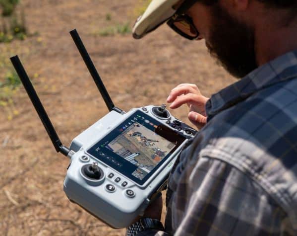
Inspired Flight systems are designed to allow new operators to learn the operating workflow quickly, while missions can be stored and reflown to support repeatable data collection.
This is particularly relevant to research extending across multiple academic years, where new students may need to continue established fieldwork without developing entirely new mission procedures.
For institutions planning shared UAS programs, the ability to accommodate changing sensors, transfer operators between aircraft, and maintain consistent data-collection workflows can be as important as the aircraft’s initial specifications.
The IF800 Tomcat and IF1200 provide configurable options for educational activities ranging from technical instruction and field coursework to LiDAR surveying, multi-sensor data collection, and custom research missions.
Read Inspired Flight Technologies’ full article to explore the aircraft configurations, sensor options, funding opportunities, and procurement considerations involved in building a UAS program for education and research.