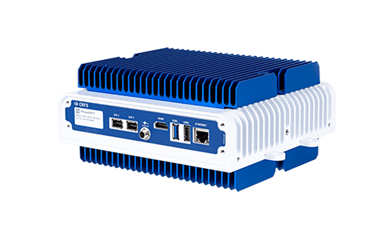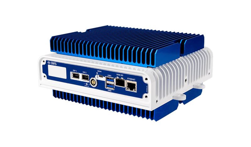

CRFS details how its passive radio frequency (RF) sensing technology can provide early warning within broader counter-UAS architectures.
Combining non-library-based detection, customizable signal detectors and Signal Discovery software, the technology provides real-time signals intelligence and can identify new or previously unseen RF activity. Applications include base and force protection, critical national infrastructure protection, special operations, border security and event protection.
Detecting and Understanding RF Activity
CRFS structures the sensing process around four stages: detect, recognize, identify and locate.
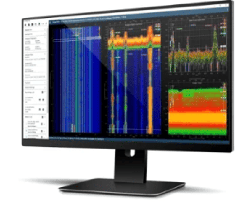
Persistent surveillance of the electromagnetic spectrum is used to detect RF emissions associated with control data links, video links, telemetry, navigation aids, radar systems, jammers and mesh controllers.
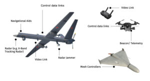 Operators can then examine the waveform and classify the signal as friendly, hostile or unknown. RF intelligence can also be fused with radar, EO/IR and acoustic sensors to improve understanding of the threat before locating the drone, locating its operator and cueing an effector.
Geolocation and Distributed Sensing
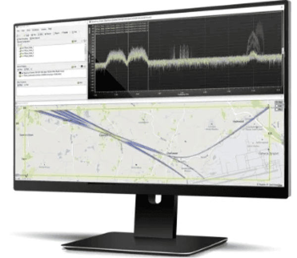
CRFS states that highly accurate time difference of arrival, or TDoA, can be used for signals detected at approximately 7 km, with line-of-bearing information available outside that range.
Sensors can be deployed on fixed infrastructure, vehicles, rapidly deployable systems or unmanned systems. By geolocating RF links, the system can help identify both the drone and the operator controlling it.
Numerous RF emitters can also be detected simultaneously, supporting operations involving multiple drones or swarm activity. Continuous passive monitoring with automated detection and alerting can reduce reliance on human operators and provide earlier awareness of developing threats.
Counter-UAS System Architecture
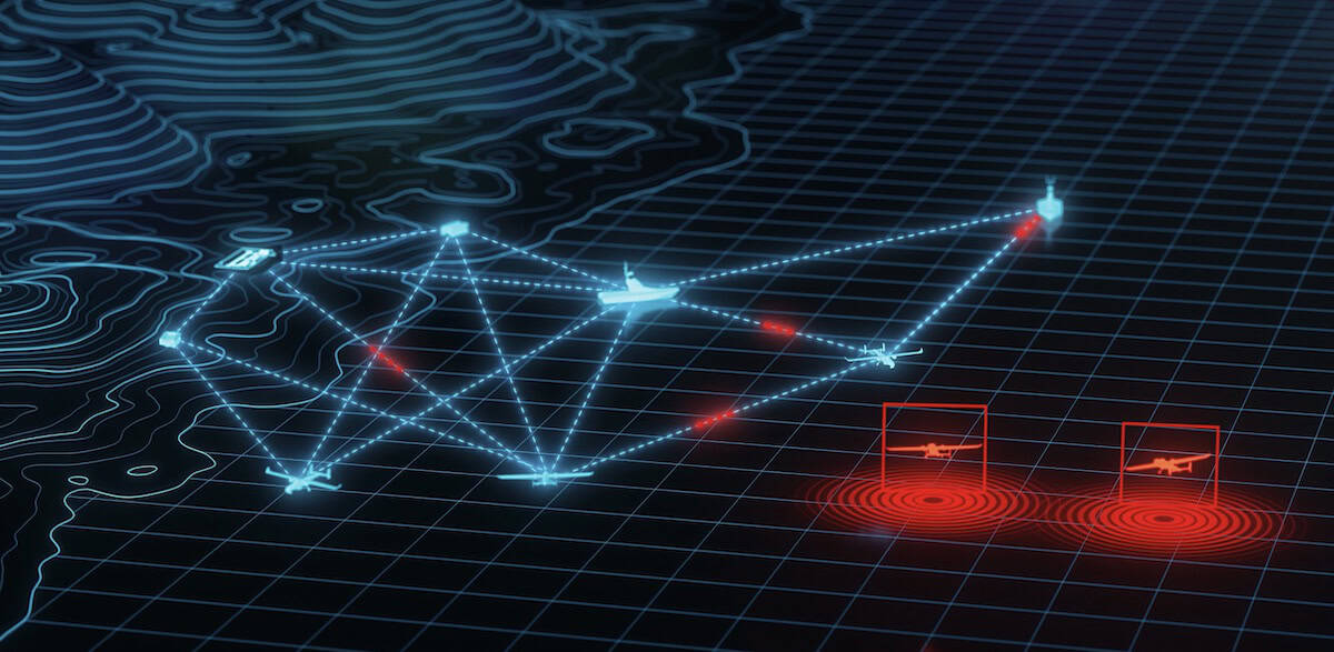
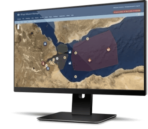
The example architecture connects multiple RFeye Nodes through MANET-A mesh radios to RFeye Site.
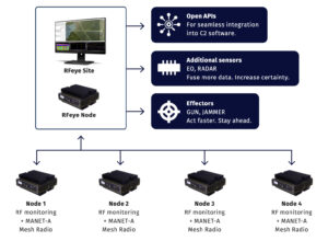
Open APIs allow RF intelligence to be fed directly into existing command-and-control software. Radar and EO sensors can be added to increase certainty, while the resulting information can support effectors such as guns or jammers.
CRFS presents this as part of a layered counter-UAS architecture in which passive RF sensing operates alongside radar, EO/IR and acoustic systems. The architecture is designed to fuse more data, increase certainty and support faster action.
GNSS-Denied Operation and Early Warning
Holdover modules allow the sensors to operate in GNSS-denied environments, while the sensors can also be used to identify the location of a jammer. Earlier awareness and richer intelligence can increase the time available for the find, fix, track, target, engage and assess process.
In one example simulation, a drone flying at 100 m and 50 mph produced detection and geolocation coverage of up to 6.5 km at 2.4 GHz, providing four minutes and 50 seconds of early warning. CRFS identifies 2.4 GHz as the standard commercial off-the-shelf frequency used by most UAVs and modified drones.
At 5.8 GHz, coverage reached up to 3.5 km, providing two minutes and 40 seconds of early warning. CRFS notes that this frequency is used by some malicious drones and military UAVs operating outside the 2.4 GHz band.
Visit the CRFS website to learn more about its RF sensing technology for drone detection and geolocation.