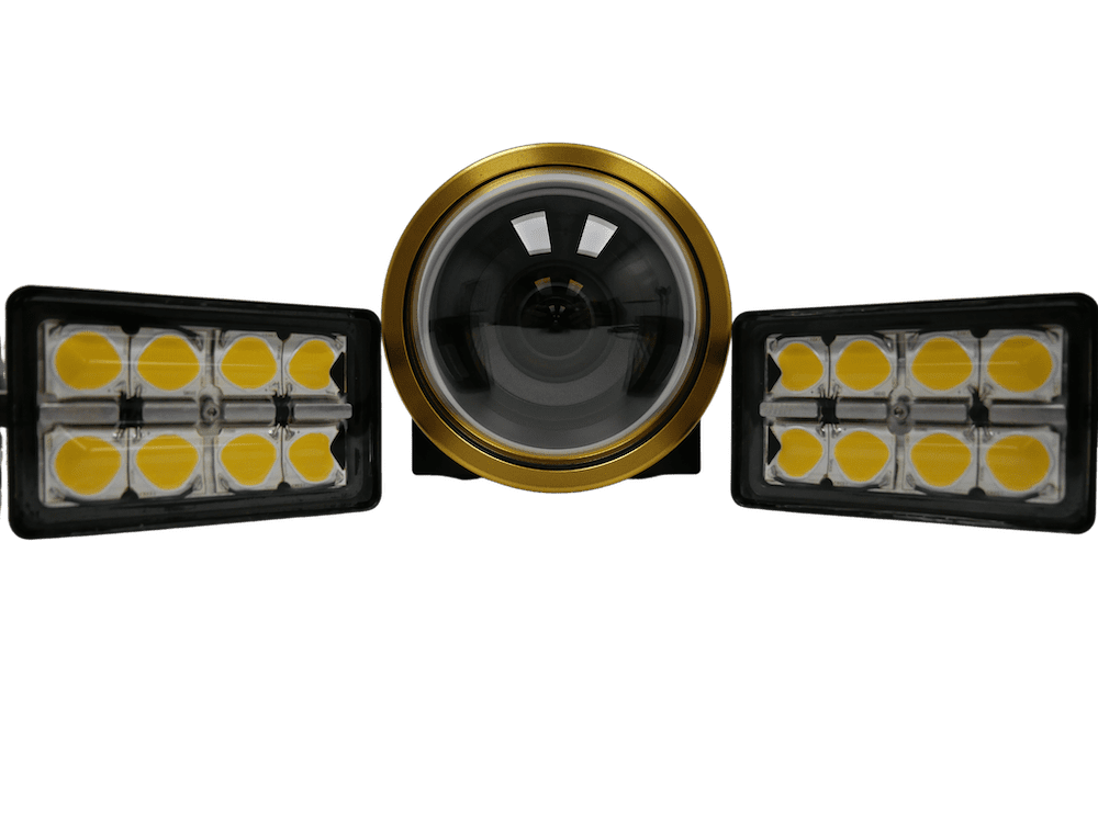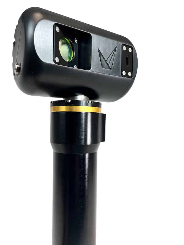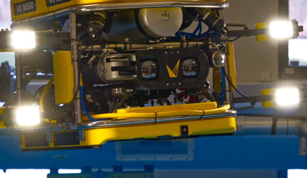
Voyis high-resolution optical imaging technology provides detailed visual data for the identification stage of Mine Countermeasure (MCM) missions. Read more >>
When the Voyis Observer Survey Series is integrated with an Autonomous Underwater Vehicle (AUV) and acoustic sensing technology, operators can progress from broad seabed detection to close-range visual assessment within a coordinated multi-sensor workflow.
Combining optical and acoustic sensing with a maneuverable autonomous platform addresses a central challenge in MCM operations: surveying large areas efficiently while obtaining sufficient detail to confidently assess potential threats.
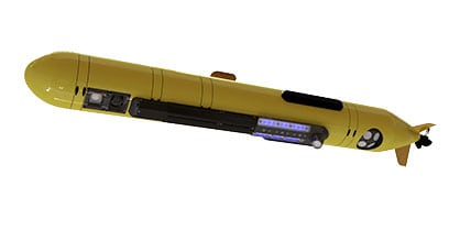
The integration of the Voyis Observer Survey Series, Eelume S3 AUV, and Forcys Solstice Multi-Aperture Sonar® demonstrates how complementary technologies can support detection, classification, and identification while allowing contacts to be revisited at progressively higher resolution.
From Detection to Identification
MCM missions typically involve three stages: detection, classification, and identification.
Detection centers on surveying broad areas of seabed to locate anomalies. Sensors operate at higher altitudes to increase spatial coverage while retaining the sensitivity required to detect potential targets.
During classification, contacts identified in the initial survey are reacquired using higher-fidelity sensor data. The additional spatial resolution and environmental context help operators distinguish benign seabed objects from contacts requiring further examination.
Identification requires close-range sensing with sufficient resolution to reveal fine structural characteristics and provide the detail required to support definitive target identification.
These stages can form an adaptive process rather than a strictly linear sequence. Contacts can be revisited and reclassified as additional information becomes available, enabling the mission dataset to be progressively refined.
4K Optical Target Identification
Acoustic sensing provides the broad coverage needed for detection and classification, while optical imaging delivers detailed visual information for final target assessment.
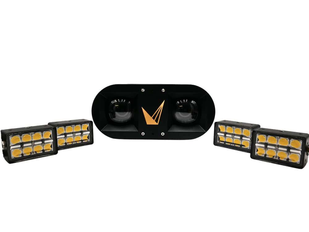
The Voyis Observer Survey Series provides high-resolution 4K imagery capable of resolving fine-scale structural and material characteristics of identified contacts.
During MCM identification, this optical data supplies the visual fidelity required to interpret individual objects. Combined with precise navigation and controlled vehicle positioning, the imaging system can capture clear views that reduce uncertainty around previously detected contacts.
Optical imagery also adds contextual information to acoustic datasets, connecting broad seabed detection with the detailed examination required for definitive identification.
Precise AUV Positioning
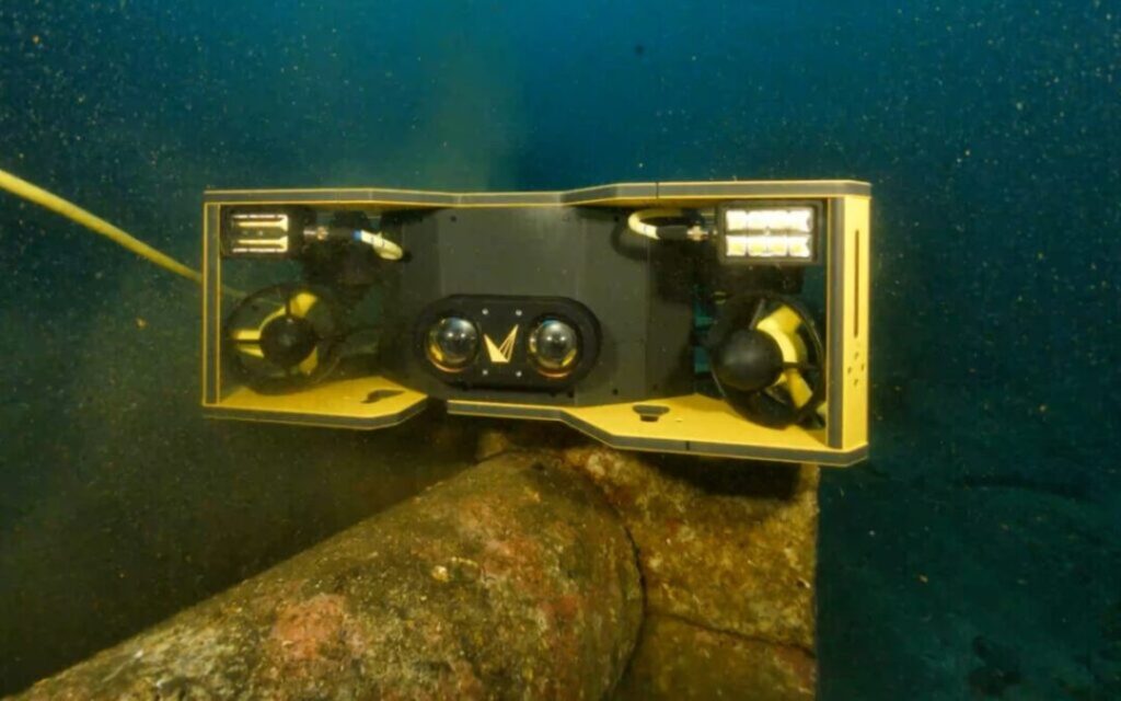
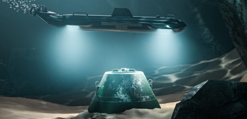
The Eelume S3 AUV provides the autonomous platform for collecting this complementary sensor data. Its articulated architecture enables precise, controlled maneuvering, including during close-proximity inspections in complex subsea environments.
This capability is particularly relevant when returning to contacts detected during an earlier stage of an MCM mission. Accurate positioning and vehicle stability directly influence sensor performance and the quality of the resulting data.
The interaction between vehicle dynamics and the sensor payload supports efficient deployment and maneuvering, effective sensor positioning around complex targets to minimize blind spots, and precise imaging through stable data acquisition.
Wide-Area Acoustic Imaging
Forcys Solstice Multi-Aperture Sonar® provides the acoustic sensing capability used for wide-area seabed imaging.
The system incoherently combines returns from multiple pings to substantially improve image signal-to-noise ratio. This process also reduces the distracting speckle-type noise commonly encountered in synthetic aperture sonar (SAS) imagery.
Consistent image quality is maintained across the full 200 m swath, improving the ability to detect smaller or lower-contrast objects that could otherwise be difficult to distinguish from the surrounding seabed.
Within an integrated MCM workflow, this acoustic information can reduce ambiguity during the earlier stages of a mission, supporting more confident classification and potentially reducing the need for repeated survey passes.
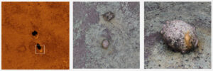
Mines captured on Eelume S3 , with Forcys Solstice MAS and Voyis Observer Survey Series Camera.
A Multi-Sensor MCM Workflow
Integrating the Eelume S3, Forcys Solstice MAS, and Voyis Observer Survey Series connects wide-area acoustic surveying with detailed optical identification.
Solstice MAS provides acoustic information for locating and classifying seabed contacts. The maneuverability of the Eelume S3 allows selected objects to be revisited at close range, while Voyis high-resolution 4K imaging provides the visual detail required for identification.
This combination allows detection, classification, and identification to function as interconnected elements of an adaptive mission rather than isolated activities.
Contacts can be reacquired as required, with additional sensor data collected at progressively greater resolution. This approach supports continuity throughout the dataset while enabling autonomous subsea assets to be used efficiently across different stages of the operation.
By combining acoustic coverage, controlled autonomous maneuvering, and high-resolution optical imaging, the integrated system provides a structured path from initial seabed detection to detailed target identification.