




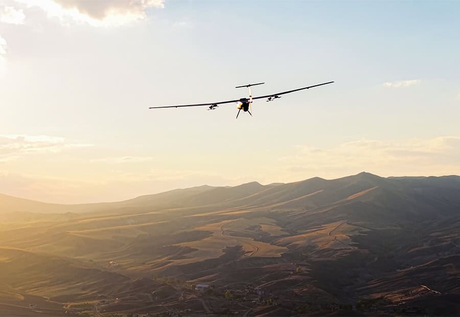
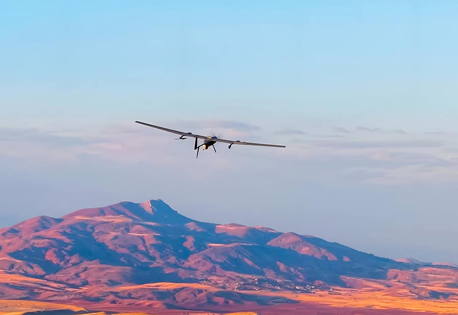
DELİCAN is an electrically powered, low-altitude UAV developed for defense and public security operations. Fully autonomous VTOL operation eliminates the need for a runway or launch ramp, and the aircraft can take off and land within a 10 x 10 m area on fixed or moving land and maritime platforms. Its modular construction allows the system to be transported in two carrying cases and prepared for flight in 20 minutes. Critical components can be replaced in the field, and an optional vehicle-integrated mobile GCS minimizes manpower and logistical support requirements.
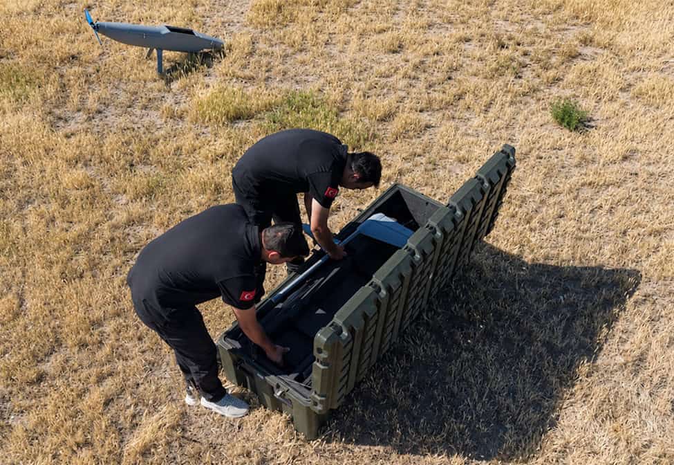
Designed for challenging terrain and adverse weather, DELİCAN can operate in wind speeds of up to 15 m/s. An eight-element CRPA GNSS antenna is combined with jamming detection, adaptive filtering software, and a visual navigation system to provide resilience in contested environments. AI-assisted decision-making algorithms and telemetry-data analysis assess the situation in real time following communications loss, sensor deviation, power failure, or an environmental threat. DELİCAN can autonomously update its route, continue the mission safely, or activate return-to-home protocols. Low acoustic, visual, and RF signatures provide covert operation during ISR missions.
DELİCAN provides more than 180 minutes of endurance and a communications range exceeding 40 km. Its integrated EO/IR gimbal provides automatic target tracking, moving-target detection, precise geolocation, video stabilization, and image-based target locking. The EO channel delivers low-light imaging, and the IR channel incorporates a motorized lens, selectable polarity options, and an industrial-grade thermal sensor. Live imagery can be transmitted to command-and-control centers and mobile devices using end-to-end encryption, with multi-user access and role-based authorization.
Applications include ISR, security and public order, border and coastal patrol, disaster and emergency management, and search and rescue.
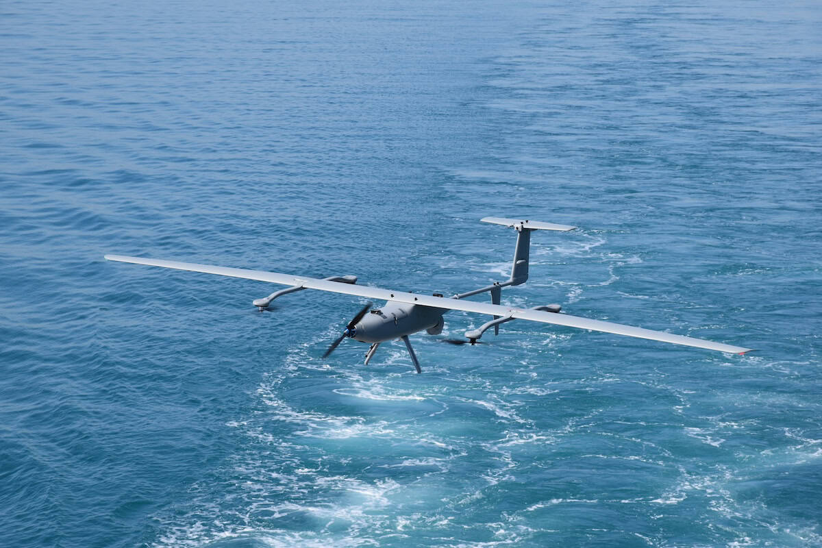
DELİCAN UAV Performs Fully Autonomous Landing on a Moving FrigateDELİCAN UAV, a Low-Altitude Unmanned Aerial Vehicle developed by Enetki Defence, performs a fully autonomous takeoff from the deck of a frigate travelling at 20 knots during operational trials. The system successfully carries out its assigned intelligence, surveillance and reconnaissance mission.
DELİCAN UAV completes the entire mission cycle—including takeoff, transit to the mission area, route following, mission execution and return—without requiring operator intervention. During the mission, the system navigates to the updated position of the frigate after it has moved from its initial location, autonomously manages its approach to the moving platform and successfully lands on the deck.
Operational trials validate DELİCAN UAV’s capability to conduct fully autonomous missions from moving maritime platforms. This capability provides a significant operational advantage in naval operations by supporting the collection of tactical intelligence, the detection and tracking of threats, force protection activities and enhanced battlespace awareness for combat naval units.
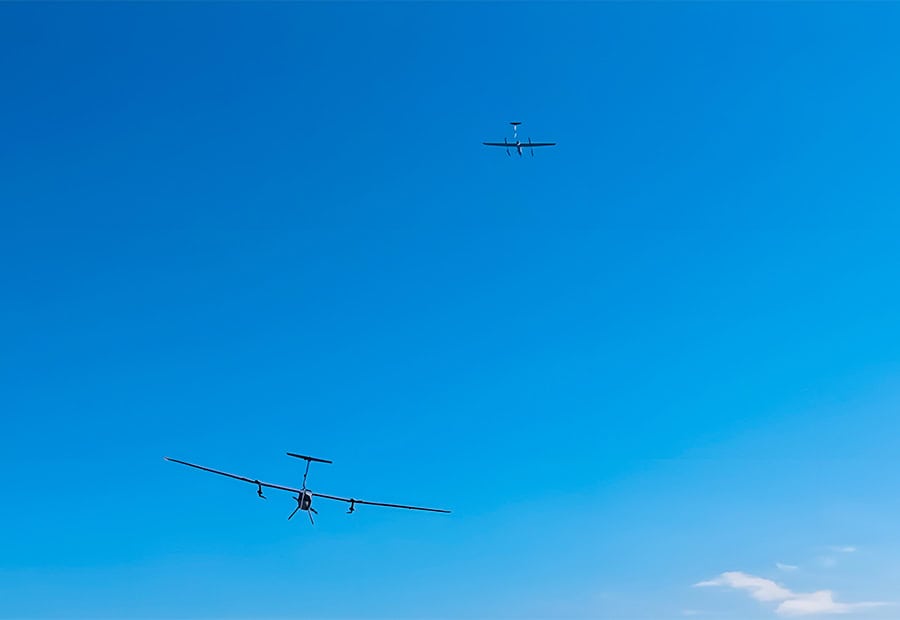
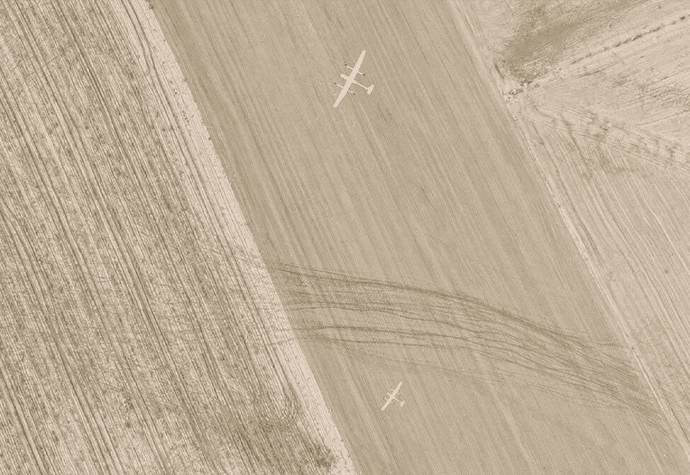
A DELİCAN UAV conducting intelligence, surveillance and reconnaissance operations in the mission area monitors the designated zone and transmits the collected tactical data to the ground control element. As the aircraft approaches its planned flight endurance threshold, the in-place mission handover process is initiated.
At this stage, the flight route of a second DELİCAN UAV is automatically generated by the system. The aircraft assigned to take over the mission autonomously transits to the mission area without requiring pilot intervention. Once the second DELİCAN reaches the area, the intelligence, surveillance and reconnaissance mission is transferred between the two aircraft in a coordinated manner.
Through the communications infrastructure developed by Enetki Defence, the mission handover is managed via a single ground data terminal, allowing the tactical data flow to continue without interruption. This capability extends mission duration in line with operational requirements and enables continuous intelligence, surveillance and reconnaissance over critical areas.
Aircraft Features| Dimensions | UAV: 4.6 × 2.6 × 0.7 m; Carrying Case: 1.8 × 0.7 × 0.5 m |
| Maximum Take-off Weight | 32 kg |
| Endurance | 3 hours |
| Communications Range | 40+ km |
| Payload Capacity | 2.5 kg |
| Maximum Speed | 30 m/s |
| Service Ceiling (MSL) | 4500 m MSL (15,000 ft) |
| Maximum Take-off Altitude (MSL) | 3000 m MSL |
| Operational Altitude (AGL) | 500–1500 m (1600–5000 ft) |
| Navigation | Proprietary anti-jamming navigation software ensuring secure flight in contested environments; 8-element CRPA GNSS antenna; visual navigation system |
| Wind Tolerance | Take-off/Landing: up to 10 m/s (25 knots); Cruise: up to 15 m/s |
| Logistics | 2 transport cases; rapid deployment: 20-minute assembly |
| Ground Control Stations (GCS) | Dual-screen portable backpack GCS; optional vehicle-mounted GCS with three-operator capacity |
| Data Link | Auto-tracking Ground Data Terminal (GDT) |
| Electro-Optical (EO) Camera | HD (1280 × 720 px); 30× optical zoom; up to 60× total zoom |
| Thermal Camera (IR) | SD (640 × 512 px); 5× optical zoom; up to 10× total zoom |
| Capabilities | Moving Target Indicator (MTI); automatic target tracking; high-accuracy target geolocation; scene/area tracking |





