New Simulated Urban Area Drone Test Facility Opened
The DigiCity is part of the NLR Drone Centre, which includes its own workplace, a surfaced landing strip of over 320 metres, and a closed airspace zone above the premises




LATEST DEVELOPMENTS
The latest unmanned systems news for UAV, UAS, UGV, USV, UUV, drones and robotics. Articles on product launches and technological advances in unmanned and autonomous design, research and manufacture.
News archive
Page 299
The DigiCity is part of the NLR Drone Centre, which includes its own workplace, a surfaced landing strip of over 320 metres, and a closed airspace zone above the premises
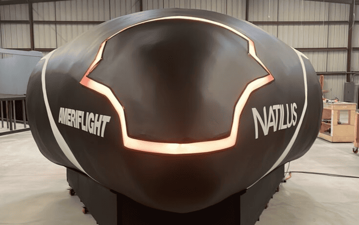
The Natilus Pilot Operations Desk (POD) is designed to train remote pilots of drones and is expected to reduce operational costs for Natilus autonomous aircraft customers
FORT Robotics’ rugged gaming-style controller can be paired with up to 30 machines, giving users the ability to manage a fleet of machines with a single remote control
Ideal for aerospace applications Sapphire Windows by Meller Optics are suitable for providing front surface optics protection in guidance and vision systems
A Voyis Recon LS and the Wavefront Solstice 3000 multiple-aperture sonar (MAS) Combined AUV payload have been integrated onto L3Harris’ Iver4 900 platform
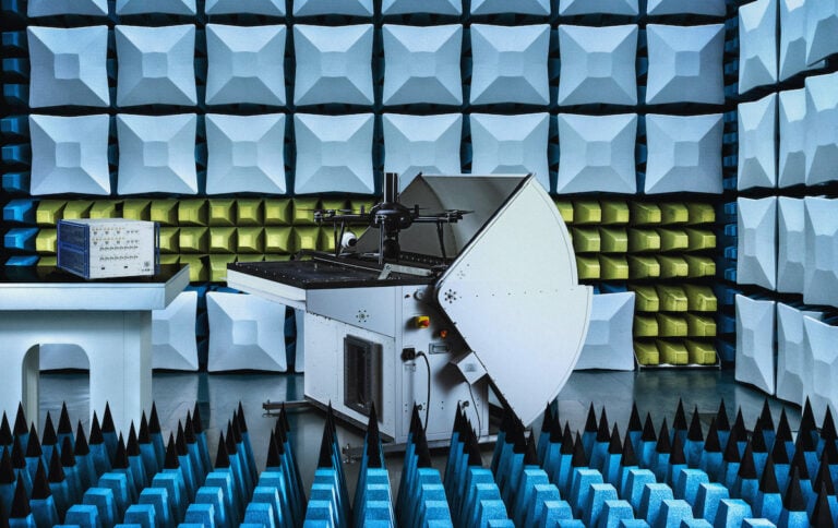
Nokia Drone Networks has launched in North America following a successful collaboration with Rohde & Schwarz to secure Federal Communications Commission certification
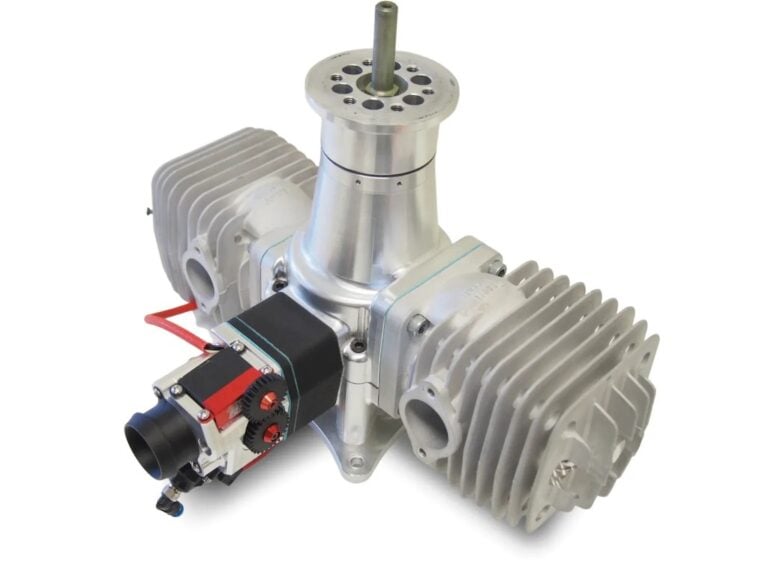
INF Inject’s EFI system consume a significantly lower amount of fuel compared conventional carburetor-based engines, reducing operating costs and environmental footprints
The new drone delivery network aims to connect 13 hospitals with Europe’s largest hospital laboratory Labor Berlin to support transportation of more than six million lab samples per year
Elsight’s Halo connectivity system beats Optus outage to keep Sphere Drones flying during trials of their innovative Curo HubX drone platform
ResilienX and VI&E have signed an MOU to collaborate on the Wittman Regional Airport eVTOL vertiport project, combining innovative eVTOL technology and IASMS solution
The Mad Nadir Mapping LiDAR System (MNMLS) contains a tactical grade Inertial Measurement Unit (IMU) coupled with a multi-frequency GNSS receiver, with these two combined components making up the highly accurate Inertial Navigation System (INS)
In collaboration with BayesMap, Inertial Labs has announced the PCMasterPro software update for the high-accuracy LiDAR point cloud generation solution RESEPI


 Searching Companies & Products