Drone LiDAR
Discover cutting-edge solutions from 4 leading global suppliers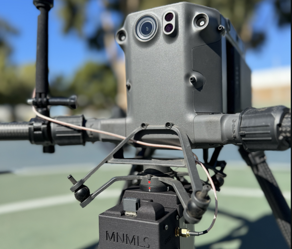
Mad Nadir Mapping has introduced a new LiDAR system, the MNMLS.
The Mad Nadir Mapping LiDAR System (MNMLS) is said to be the lightest (730g) and most affordable ($5,000) UAV lidar mapping solution currently available on the market.
The MNMLS contains a tactical grade inertial measurement unit (IMU) coupled with a multi-frequency GNSS receiver. Combined, these two components make up the highly accurate inertial navigation system (INS). The system uses a multi-return LiDAR scanner capable of recording single, double, and triple returns. The MNMLS allows for push-button data logging and also contains a web-app interface for system checks, IMU calibration, and data logging.

All MNMLS purchases include a perpetual processing license for the Mad Nadir Mapping LiDAR Processor (MNMLP) software. The MNMLP software is easy to use and includes a custom MNMLP lever arm and boresight tool, PPK trajectory processing, does not require an active internet connection (field-based processing), contains no hidden post-processing steps, employs multi-core processing techniques, consumes low amounts of RAM, requires zero license fees, and includes free software updates.
The software seamlessly ingests the raw MNMLS data and outputs a georeferenced compressed point cloud file (.laz) that can be brought into any lidar post-processing software. Georeferenced point cloud outputs from the MNMLS are comparable to other entry-level systems on the market, but at a much lower price point.
The purchase of this system includes a hard case, the MNMLS hardware, a GNSS antenna and mount, and the MNMLP software (including a perpetual license). According to Mad Nadir, the MNMLS is an all-inclusive and turn-key system that is ready to acquire actionable data right out of the box.