Energy infrastructure presents a distinct challenge for drone detection, with large, dispersed sites combining difficult-to-monitor airspace with fixed assets and flammable or explosive materials. In the article, Drone Threats to Energy Infrastructure: A Layered Detection Approach, LZ Tech examines how the scale, hazards, and remoteness of oilfields, gas processing plants, power stations, solar farms, and substations can shape the design of drone detection systems.
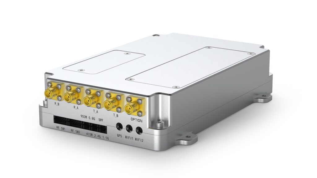
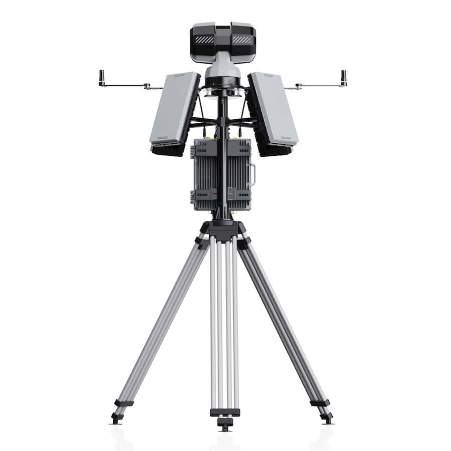
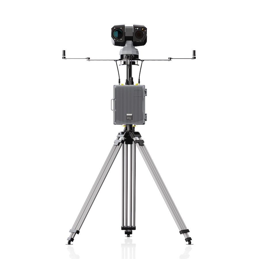
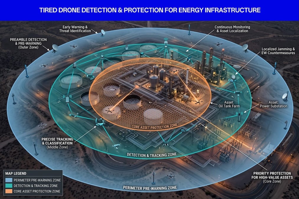
The article outlines a layered architecture that matches detection coverage to the structure and risk profile of an energy site. This includes DF5 Max fixed detection units forming an outer early-warning ring, D5-Air payloads extending detection over terrain that ground units cannot see, and VAR300 electro-optical and infrared trackers providing visual confirmation of detected contacts.
LZ Tech also considers why detection and identification should precede active countermeasures. Logged contacts can contribute frequency, bearing, time, and visual records to an evidence base, helping operators distinguish routine overflights from patterns that may require further attention.
For sites operating multiple sensors across large areas, LZ Tech also examines how a command platform can bring separate feeds onto one geographic display, fuse RF tracks with visual confirmations, and provide a coherent picture of the airspace.
The full article explores how energy operators can build this capability in stages, beginning with an early-warning ring before adding visual confirmation, extended coverage, and a command platform. It also examines how detection coverage can be concentrated according to asset priority, as well as the regulatory and insurance drivers associated with monitoring drone activity around energy infrastructure.