


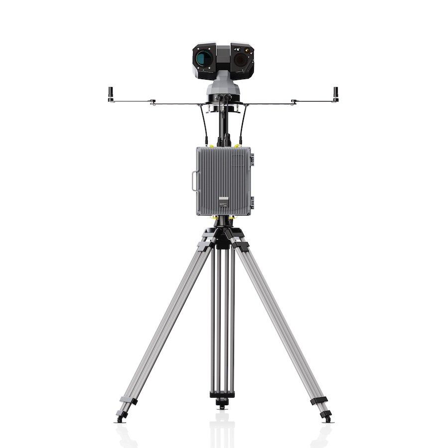
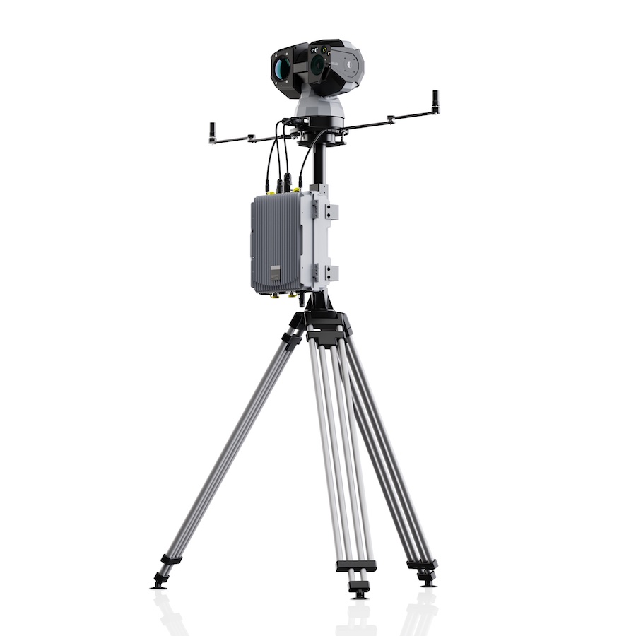
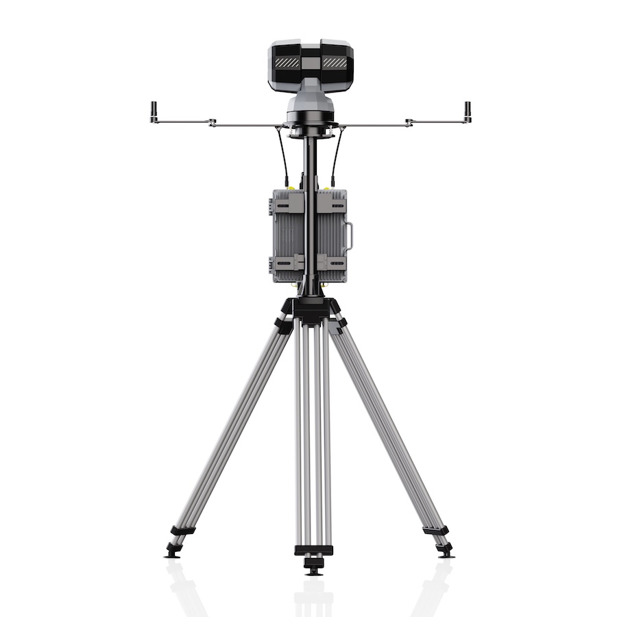
The T100 is a multi-sensor drone identification and tracking system that combines radar and RF guidance inputs with electro-optical and infrared imaging to provide continuous visual target confirmation. Designed as the critical link between drone detection and mitigation, the system enables operators to accurately identify, classify, and track aerial targets before intervention measures are deployed. By fusing sensor data with onboard AI processing, the T100 delivers reliable target awareness in complex operational environments and supports informed decision-making for counter-UAS operations.
Featuring visible-light and thermal imaging payloads, the T100 supports 24/7 monitoring and tracking of drones and other aerial objects under varying weather and lighting conditions. Radar and RF systems can provide either directional cues or precise coordinates, allowing the platform to automatically acquire, identify, and follow targets in real time. Integrated edge computing delivers up to 200 TOPS of processing power for AI-based classification, behavior analysis, and automated tracking, enabling differentiation between drones, birds, kites, and other airborne objects. Combining wide-area surveillance, long-range optical zoom, thermal imaging, and intelligent tracking algorithms, the T100 enhances situational awareness and provides accurate guidance data for downstream mitigation systems.
Specifications:
| Dimensions: |
PTZ Camera: 335 mm × 221 mm × 339 mm (±2 mm) Product: 1260 mm × 328 mm × 1006 mm (±2 mm) |
| Weight: |
PTZ Camera: ≤13 kg Computing Unit Chassis: ≤12 kg |
| Operation Mode: | Radar and RF-cued EO/IR identification and tracking |
| EO/IR Identification Distance: |
DJI Mavic 3: ≥2 km (day), ≥1 km (night) Medium-sized UAV: ≥4 km (day), ≥3 km (night) |
| EO/IR Tracking Distance: |
DJI Mavic 3: ≥3 km (day), ≥2 km (night) Medium-sized UAV: ≥5 km (day), ≥4 km (night) |
| Camera Focal Length: | 6.1 mm – 561 mm |
| Optical Resolution: | 2688 × 1520 |
| Infrared Resolution: | 640 × 512 |
| Pan-Tilt Range: | 360° horizontal, -90° to +90° vertical |
| Ingress Protection: | IP66 |


