



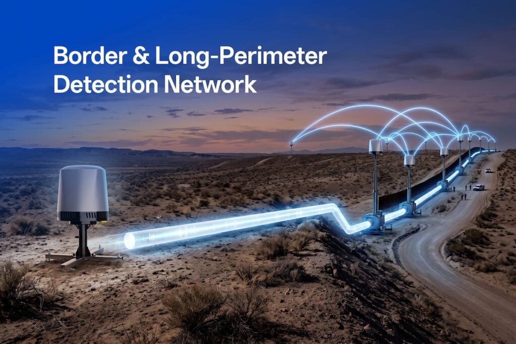
Protecting extended perimeters such as borders, coastlines, and pipeline corridors against unmanned aerial systems exposes the fundamental physical limitations of standalone detection hardware. LZ Tech explores how this is forcing a transition toward distributed sensor networks.
Across frontiers that extend for tens of kilometers, conventional single-sensor installations routinely falter due to geometry and environmental clutter. Radio frequency detection systems operating between 30 MHz and 6 GHz depend strictly on an unobstructed line of sight between the target’s command-and-control signal and the receiver antenna. Intervening terrain, dense vegetation, buildings, and the curvature of the earth interrupt this signal path. Furthermore, manufacturer range ratings represent theoretical maximums under ideal conditions. In practice, ground clutter and ambient radio interference make low-altitude targets hundreds of meters away far more difficult to detect than high-altitude targets miles out, turning isolated monitoring stations into single points of failure riddled with blind spots.
To eliminate coverage gaps, modern perimeter security relies on distributed networks where overlapping sectors ensure continuity. Within this framework, direction-finding nodes provide wide-area early warning and threat cueing by measuring the angle of arrival of an incoming radio transmission. Units such as the DFJ83 achieve detection ranges up to 8 km with an angular accuracy of 3 degrees RMS or better, while complementary systems like the DFJ53 cover spans up to 5 km. When multiple direction-finding stations intercept the same transmission, triangulation generates an estimated location; however, positional accuracy degrades when a drone operates far outside the geometric baseline of the sensors where bearing vectors intersect at shallow angles.
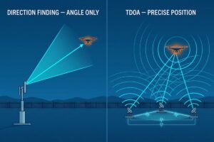
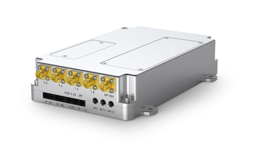
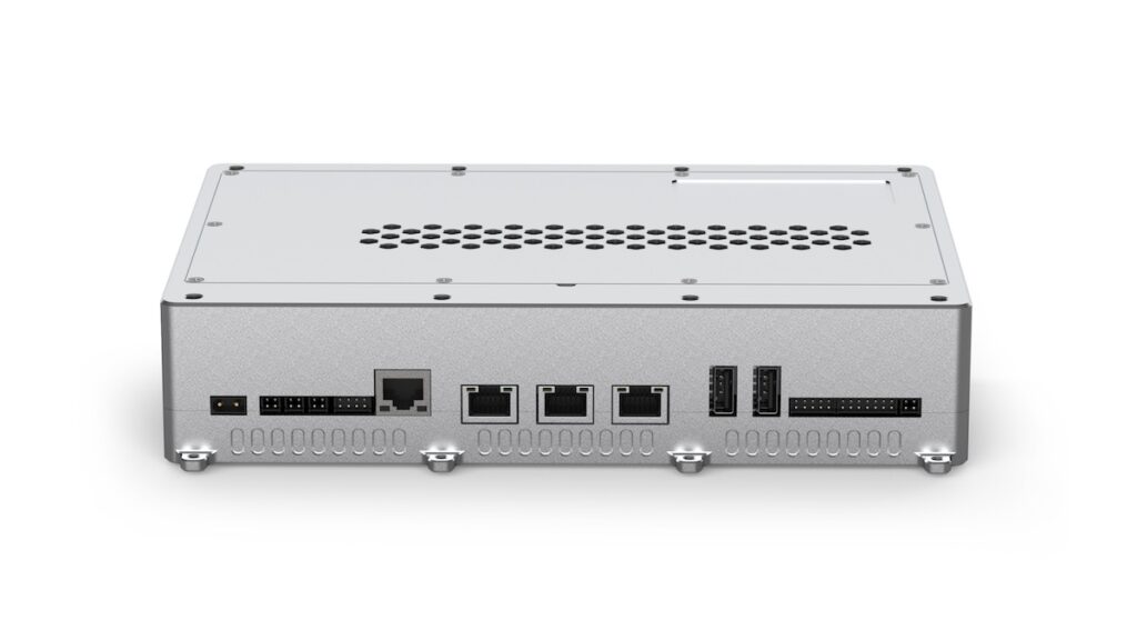
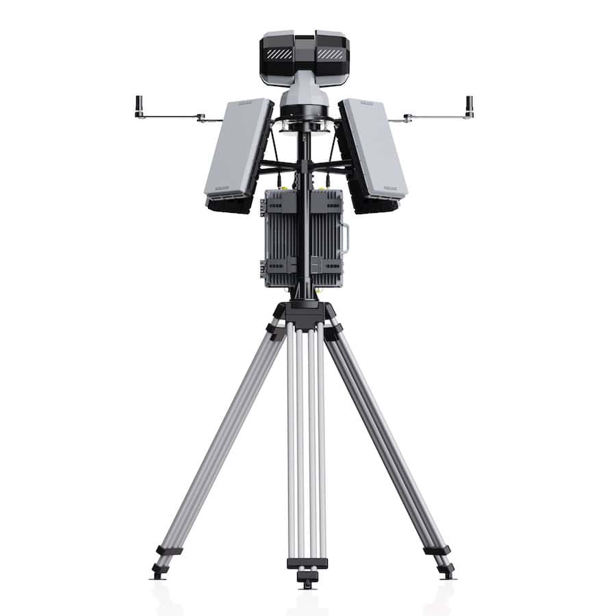
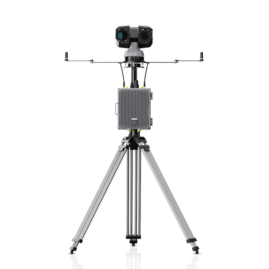
High-precision tracking is subsequently delegated to passive Time Difference of Arrival (TDOA) arrays. By measuring the minute arrival-time discrepancies of a radio signal across three or more synchronized receivers, TDOA networks calculate true coordinates without relying on bearing lines. Dedicated hardware such as the D5-B passively monitors the 30 MHz to 6 GHz spectrum, simultaneously tracking more than 30 targets within a 3 km horizontal range and up to 1 km in altitude. The unit delivers positional accuracy tighter than 10 m RMS with a response latency of two seconds or less. Engineered with an IP66 enclosure rated for temperatures between minus 40 and plus 70 degrees Celsius, the 3 kg system draws approximately 60 watts of power and can be mounted rapidly on fixed masts or temporary tripods.
To address line-of-sight obstructions that ground arrays cannot penetrate, network operators introduce vertical coverage via airborne payloads. Systems such as the D5-Air mount to platforms including the DJI M350 and M400, operating across the 400 MHz to 6 GHz spectrum with a 5 km detection range. By ascending above ridgelines and tree lines, airborne sensors look down into valleys and maritime expanses where ground nodes face signal masking, serving as an on-demand tactical asset to inspect ambiguous contacts or follow targets flying behind terrain.
Deploying passive receiving technology provides critical operational advantages along sensitive border and infrastructure corridors. Because passive direction-finding and TDOA systems do not emit radiation, they avoid interfering with surrounding commercial broadcast, navigation, and telecommunications frequencies, while eliminating spectrum licensing hurdles in most jurisdictions. Passive systems remain invisible to counter-surveillance, preventing drone operators from detecting defensive arrays as they would with active radar sweeps. Additionally, the low power profile of passive nodes permits off-grid operation via solar or battery setups, simplifying logistics in remote areas.
Perimeter networks are typically deployed in structured phases rather than all at once. Organizations generally begin by stationing a direction-finding unit at an exposed choke point to establish baseline activity records. As security demands grow, TDOA receivers are introduced to enable actionable, high-accuracy coordinate tracking, followed by the deployment of airborne payloads and full perimeter sensor handoff. Through an integrated command layer that fuses independent data feeds into a unified track, facility defenses shift from isolated point monitoring to a resilient, contiguous defensive boundary.
Read From Single Point to Network: Drone Detection for Borders and Long Perimeters on the LZ Tech website.