



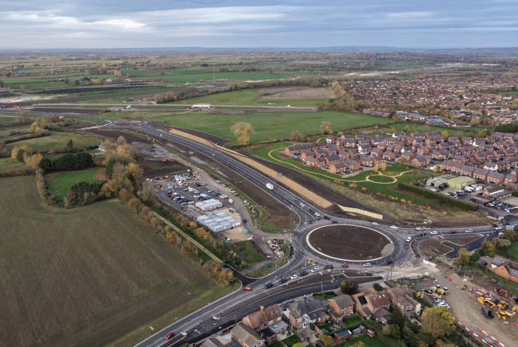
RTKdata is helping Sky Eye Imagery deliver centimeter-accurate drone surveys across the UK, providing affordable NTRIP Real-Time Kinematic (RTK) corrections that meet the demanding requirements of architects, surveyors and planning consultants.
Founded by former Royal Air Force imagery analyst Bitu Williams, Sky Eye Imagery applies his military experience interpreting aerial imagery to commercial drone mapping. After leaving the RAF in 2024, Williams established the Buckinghamshire-based business, offering surveying, mapping, thermography and infrastructure inspection services.
However, achieving the accuracy required by professional clients presented a challenge. From planning applications and boundary disputes to demolition projects and 3D modelling, Sky Eye Imagery needed reliable centimeter-level positioning without the expense of traditional correction services.
Williams discovered RTKdata’s NTRIP RTK correction service in mid-2025, providing access to survey-grade positioning without requiring a separate base station. The straightforward setup allows correction credentials to be entered directly into compatible drone systems, enabling accurate positioning during flight.
Detailed 3D model from RTK drone data for safe demolition planning of a heritage structure.
The service has helped Sky Eye Imagery achieve horizontal accuracy of 1–2 cm RMSE and vertical accuracy of 2–3 cm, supporting the production of orthomosaics, 3D models, point clouds and digital elevation models.
Customer feedback has reinforced the value of this approach, with Williams reporting that clients have been impressed by the accuracy of the final survey deliverables. He also highlighted RTKdata’s affordability, describing its performance as comparable to, or better than, more expensive alternatives.
With RTK corrections now supporting its mapping operations, Sky Eye Imagery continues to expand into thermal inspections, solar panel assessments and infrastructure surveys, demonstrating how accessible positioning technology can help independent drone operators deliver professional-grade results.
Read RTKdata’s article, From RAF Veteran to RTK Drone Mapping Professional: How Sky Eye Imagery Delivers Centimeter-Accurate Surveys.