High Precision, Long-Range UAV LiDAR & Drone LiDAR Mapping Solutions

Case Study: Using Drone LiDAR for Reforestation

Feature Article by YellowScan
Follow UST

YellowScan reforestation success storyIn this case study, YellowScan details how MSDI used its LiDAR equipment to carry out scans for topographic and hydrologic analysis of 500 hectares (1235 ac) of degraded grasslands, secondary forests, and coastline.

Download the case study>

MSDI was contacted by Masarang Foundation, which had recently acquired the land to restore and conserve.

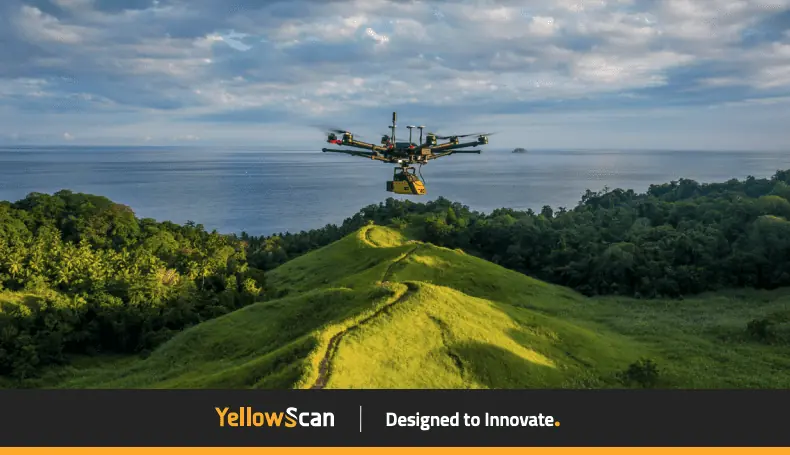
MSDI used YellowScan’s Vx15-100 LiDAR on a DJI M600 drone to establish a 3D plan of the hills for an optimal management of the new shrub plantations and thus to optimize the distribution and growth of the different species of replanted trees.

Read the full case study to find out more>

To learn more, contact YellowScan: Visit Website Send Message View Supplier Profile
Posted by Caroline Rees Caroline co-founded Unmanned Systems Technology and has been at the forefront of the business ever since. With a Masters Degree in marketing Caroline has her finger on the pulse of all things unmanned and is committed to showcasing the very latest in unmanned technical innovation. Connect & Contact