A drive-thru case study undertaken by Sense Aeronautics demonstrates how object detection and tracking capabilities developed for surveillance and monitoring can be applied to a different operational environment.
Using aerial footage supplied by Horizon Drone Services, the company applied its existing ATR real-time AI video analytics platform to analyze vehicle movements around a quick-service restaurant without developing new models or modifying the platform.
The case study originated from a conversation at Commercial UAV Expo in Las Vegas with Danny Blades, owner of Horizon Drone Services. Blades raised the question of whether footage captured by a drone could be used to understand activity within a busy drive-thru.
Sense Aeronautics processed the footage using ATR in its existing configuration. The exercise applied the same underlying capabilities used for surveillance tasks involving perimeters, people, vehicles, vessels, and critical infrastructure to questions surrounding vehicle movement, occupancy, and flow.
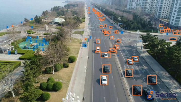
Central to the analysis was robust, reliable detection and tracking. ATR detects vehicles and maintains persistent identities as they move through a scene, providing the underlying tracks from which counts, alerts, and timing information can be derived.
Using Aerial Video to Observe the Complete Site
For quick-service restaurants, speed of service is an important drive-thru metric. Relevant operational questions include the time individual vehicles take to move from ordering to pickup, when queues begin to form, and how long vehicles directed to parking spaces remain there.
Such activity can be measured from fixed points along a drive-thru lane. A drone positioned above the site provides a different perspective, capturing the lane, order point, pickup window, parking spaces, and surrounding streets within the same view.
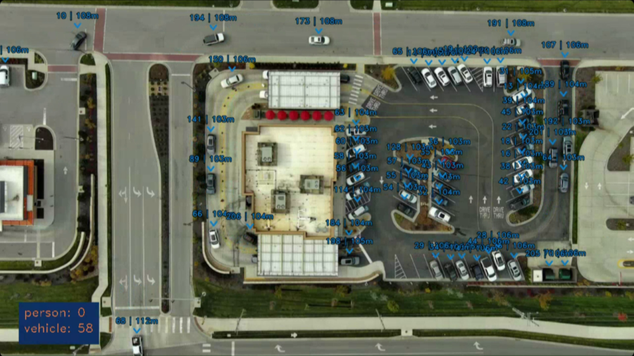
For the case study, Horizon Drone Services flew a drone in a static position above the restaurant and captured a top-down, or nadir, view of the drive-thru.
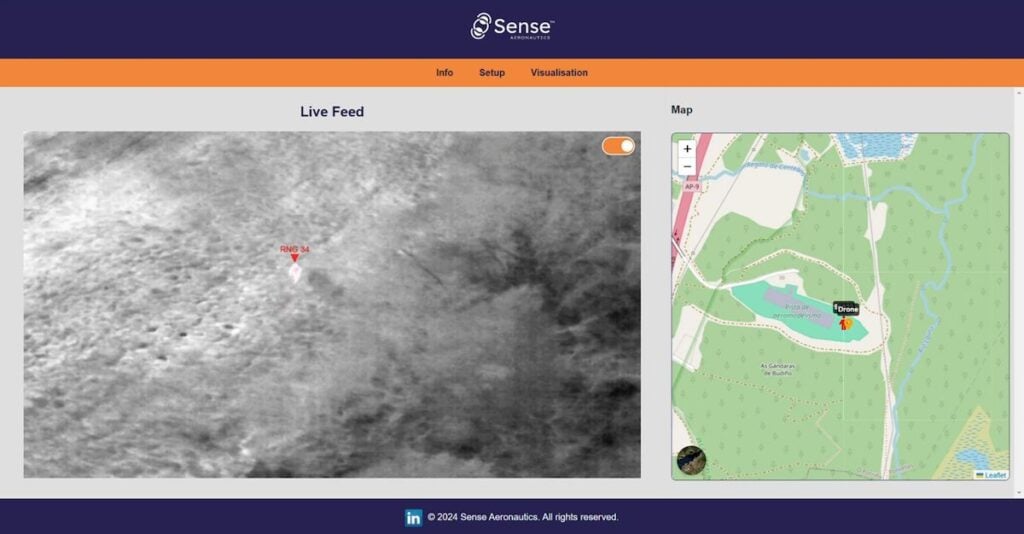
The resulting frame extended beyond the restaurant itself to include adjacent streets and passing traffic. ATR detected and tracked vehicles throughout the frame in real time, assigned each vehicle a persistent ID, and placed the vehicles on a map.
Accurate tracking was fundamental to the subsequent analysis because vehicle counts, alerts, and time measurements depend on the underlying tracks remaining consistent.
Three existing ATR capabilities were then used to examine activity within the site: zoning, time-based filtering for parking overstay, and flow analysis.
Zoning the Area of Interest
Although the aerial footage included surrounding roads and other activity, not all detected vehicles were relevant to the drive-thru analysis.
ATR’s search capability can restrict analysis both geographically and by object class. For this case study, a specific zone was established around the area of interest and the analysis was restricted to vehicles.
Traffic on adjacent streets and other detections outside the predefined zone were therefore excluded from the analysis, allowing counts and alerts to represent activity within the drive-thru rather than the wider aerial scene.
The same capability has applications in surveillance operations, where an operator may define an area such as a fence line or restricted zone and focus analysis on activity occurring within it.
Identifying Vehicles That Remain in a Zone
ATR’s search capabilities can also apply time-based criteria to tracked objects.
Vehicles visible around the restaurant were not necessarily traveling through the drive-thru. Some parked before ordering or after collecting food. By applying a dwell-time threshold to a defined zone, ATR can flag vehicles that remain within it longer than a specified period.
The threshold is configurable according to the particular application. Sense Aeronautics used five minutes as an example for the case study.
Applied to parking areas, this approach can provide information about how long individual spaces remain occupied and how areas outside the drive-thru lane are being used. Depending on the selected zone and time threshold, the same rule can also identify conditions such as a queue that has stopped moving or an object remaining in an area for an extended period.
This capability has a direct parallel in security applications, where time-based rules can be used to flag a vehicle or person lingering near a perimeter or within a restricted area beyond a defined threshold.
Measuring Vehicle Flow Through the Drive-Thru
The case study also examined the section of the drive-thru between the order point and pickup window.
By defining this section as a zone, ATR can report several metrics in real time: the number of vehicles currently within the area, the number entering and leaving per minute, average vehicle speed, and average time spent inside the zone. Together, these measurements provide a live indication of vehicle flow through that part of the drive-thru.
When vehicles are moving smoothly, the time spent within the defined zone remains relatively low. As congestion develops, the number of vehicles within the zone increases and the average time spent there rises.
The approach derives operational information from the movement of individually detected and tracked vehicles rather than requiring a separate analytics model developed specifically for drive-thru monitoring.
Applying Existing Analytics to a Different Operational Question
No custom models or additional development were used for the case study. Instead, Sense Aeronautics applied existing ATR functions including zones, object classes, time-based rules, and flow metrics.
These capabilities are also used in surveillance and infrastructure-monitoring applications. In the drive-thru analysis, the underlying tools remained the same while the operational questions being asked of the resulting data changed.
The exercise illustrates the role of detection and persistent tracking as the foundation for subsequent video analysis. By reliably identifying objects and maintaining their identities as they move through an aerial scene, the platform can generate data concerning where vehicles are located, how long they remain within defined areas, and how they move between them.
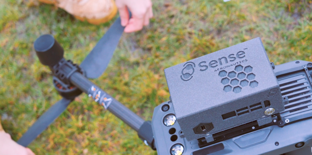
In this case, a static drone provided the aerial perspective while ATR performed detection and tracking in real time. The source material also identifies deployment either in the cloud or at the edge, including on board the drone, as options for an off-the-shelf analytics platform addressing these types of questions.
Read Same Platform, New Ground: Analyzing a Drive-Thru with Sense ATR.