
Showcase your capabilities
If you design, build or supply USBL Systems, create a profile to showcase your capabilities and connect with visitors who have an active requirement for your solutions.




USBL systems are acoustic positioning solutions that determine the range and direction of subsea vehicles, instruments, and equipment relative to a surface vessel. Using a vessel-mounted transceiver and a compatible transponder or responder installed on an ROV or AUV, they support real-time tracking, navigation correction, survey georeferencing, dynamic positioning, and emergency recovery.
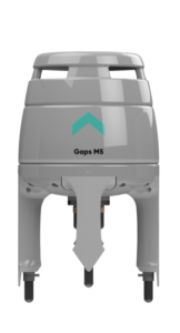
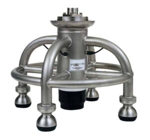
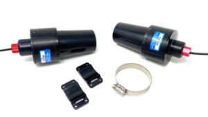
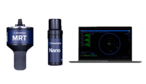
This category showcases leading USBL system suppliers for ROV and AUV navigation, tracking, and positioning across subsea operations.
Read the Technology Overview

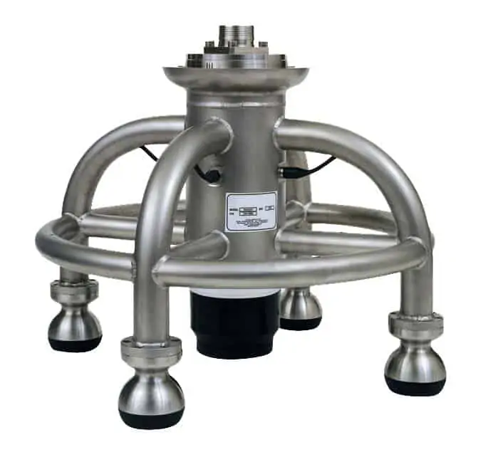

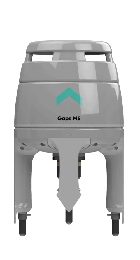


Cutting-Edge Acoustic Positioning & Subsea Imagery Solutions for Unmanned & Robotic Systems

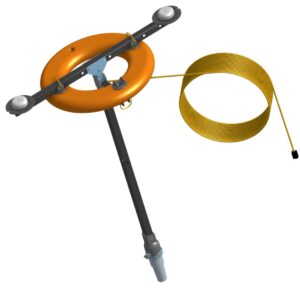
Advanced Underwater Imaging & Positioning Solutions for Uncrewed & Autonomous Marine Vehicles

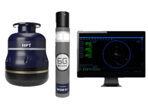
Tracking, Navigation, Positioning and Communication Sensors for AUV, ROV, USV

If you design, build or supply USBL Systems, create a profile to showcase your capabilities and connect with visitors who have an active requirement for your solutions.

Ultra-short Baseline (USBL) systems provide an external acoustic position reference for subsea vehicles and equipment operating where global navigation satellite system signals cannot propagate. A typical setup pairs a vessel-mounted acoustic transceiver with a compatible USBL transponder or responder attached to the underwater asset. By measuring the travel time and phase arrival angle of a returned acoustic pulse, the system determines the target’s precise range and direction relative to the surface vessel before translating these relative vectors into geographic coordinates.
Operational deployment depends heavily on the specific vehicle platform. For a Remotely Operated Vehicle (ROV) USBL configuration, the system delivers continuous, real-time USBL tracking for pilots and survey crews throughout launch, intervention, and recovery. For autonomous platforms, operators use USBL navigation to monitor mission progress from the surface and periodically correct the accumulated dead reckoning drift of the vehicle’s onboard inertial sensors.

Subsonus USBL Underwater Acoustic Positioning System from Advanced Navigation
The primary function of a USBL tracking setup is to visualize exactly where an underwater vehicle is operating relative to the support vessel, seafloor infrastructure, and planned boundaries. Topside software generates successive position fixes that display directly over digital survey charts or predefined mission corridors. Within an ROV control cabin, this live data allows the pilot to safely approach structures, monitor tether excursion, and maintain full spatial awareness even in zero-visibility conditions.
Because a submerged Autonomous Underwater Vehicle (AUV) cannot access GNSS, it must calculate its position via dead reckoning using an internal inertial navigation system aided by a Doppler Velocity Log (DVL). While these onboard sensors compute high-rate updates, small biases inevitably accumulate over time and cause the calculated position to drift. A high-performance USBL positioning system provides the absolute geographic reference needed to constrain this cumulative error by fusing raw acoustic measurements directly into the vehicle’s navigation filter.
High-grade hydrographic and geophysical surveys require all sensor observations to be tied to definitive geographic coordinates. A specialized USBL survey configuration accomplishes this by georeferencing payload sensors, such as multibeam sonars or sub-bottom profilers, mounted on the vehicle. The software binds the acoustic position data with the vehicle’s exact attitude and physical sensor offsets using precise time synchronization to eliminate spatial errors during movement.
A robust USBL acoustic positioning system can also serve as a critical acoustic position reference for a vessel’s dynamic positioning system. In this operational mode, one or more transponders are anchored at known, stable locations on the seafloor, allowing the vessel’s transceiver to calculate relative range and angle to these fixed points. This acoustic backup is crucial for automation and station keeping when GNSS signals are obstructed by offshore structures.
If an underwater asset suffers a critical loss of primary power, propulsion, or main communications, the USBL system shifts into a vital recovery role. Equipping the vehicle with a transponder that features an independent backup battery ensures the surface vessel can continue tracking the asset even after a total vehicle shutdown. This tracking data narrows the surface search radius, indicating whether the vehicle is floating, drifting, or resting on the seabed.

Ranger 2 USBL for AUVs & ROVs from Sonardyne
The vessel-mounted acoustic transceiver is the core hardware element of the topside system, responsible for generating the interrogation pulses and processing the subsea replies. It establishes the target’s range by measuring acoustic travel time, while deriving the arrival direction by processing the minute phase differences of the incoming wavefront across its integrated receiver elements. Reliable performance requires mounting the transceiver face well below aerated surface water and propeller wash.
A USBL transducer array houses multiple closely spaced acoustic elements within a single, compact head. The term ultra-short refers explicitly to the tight, centimeter-scale spacing between these internal elements, contrasting with the wide baselines of older acoustic methods. This compact architecture eliminates the need to install multiple separate hydrophones across a ship’s hull, though small phase measurement errors will scale with distance.
Subsea targets rely on a USBL transponder to receive interrogation pulses and return coded acoustic replies to the surface. Alternatively, an ROV USBL setup can use a responder, which triggers electrically via the umbilical cable to eliminate acoustic interrogation delay and increase update rates. For AUVs, these instruments are designed with strict size, weight, and power limits to preserve vehicle battery life.
Because a USBL system only calculates relative position, a high-grade GNSS receiver is essential to establish absolute geographic coordinates. Topside software must continuously apply precise lever-arm measurements to account for the physical distance between the GNSS antenna and the submerged transceiver head. Any coordinate mismatch or unmeasured offset will translate directly into systematic positioning errors on the seabed.
Since the surface vessel is constantly pitching and rolling, a motion reference unit is required to stabilize the acoustic measurements. High-rate attitude data allows the software to project raw acoustic angles into a stable coordinate frame, neutralizing the vessel’s movement. Because even minor angular errors cause significant position drift at depth, advanced systems often integrate the motion sensor directly inside the transceiver housing.
The speed of sound in water dictates how travel time is converted into physical distance and determines how sound waves bend through different water layers. A local sound velocity sensor at the transceiver face provides the data needed for immediate phase calculations, while regular profiler casts map the water column. Without accurate, updated profile data, refraction will distort both the calculated depth and horizontal position.
To select the right positioning technology, engineers must compare how a USBL underwater positioning system performs against alternative acoustic methods.

Posidonia, USBL positioning & tracking, from Exail
Long Baseline: LBL uses a grid of multiple seabed transponders to deliver high-precision, depth-independent positioning, but requires significant deployment time.
While LBL and dead reckoning excel in localized or autonomous tasks, USBL remains the preferred choice for rapid, vessel-centric operations.
Choosing an optimal USBL configuration requires balancing operational environments with vehicle-specific constraints.
Ultimately, the ideal system must deliver verified position quality within your specific operational limits and platform interfaces.


 Searching Companies & Products



 Subscribe to the Weekly eBrief
The latest engineering and technical developments straight to your inbox - join thousands of engineers who receive it.
Subscribe to the Weekly eBrief
The latest engineering and technical developments straight to your inbox - join thousands of engineers who receive it.