




SBG Systems Stellar-40
Autonomous and Unmanned Marine Vehicles: USV, AUV, Marine ROV; Profiling Floats & Towed Systems
PDS Hydrographic Software Data acquisition and processing for marine surveys
PDS Hydrographic Software

Data acquisition and processing for marine surveys

Visit Website Contact
Saved
Save
PDS Hydrographic Software

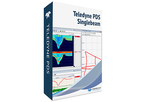
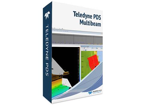
PDS is Windows-based software for hydrographic survey and dredging operations. It reads data from sensors, performs calculations, displays and logs measurements, and provides tools to remove anomalies after acquisition. Survey outputs can include terrain models, volume calculations, charts, reports, tables, and files. Its multibeam and singlebeam applications can be configured for collection or data processing and charting.

  • PDS Multibeam: Builds bathymetric swaths from multibeam sonar data, allowing survey teams to view and process seabed coverage across a wider area.
  • PDS Singlebeam: Records individual depth soundings along survey lines for review, processing, and chart production.


THE WEEKLY eBRIEF

The latest unmanned systems news, straight to your inbox.

Get our weekly roundup of technology developments, new products and industry news.

By subscribing, you agree to receive the weekly UST eBrief newsletter from EchoBlue Ltd. Unsubscribe at any time using the link in every email. See our Privacy Notice.

Advancing Unmanned Systems Through Strategic Collaboration UST works with major OEMs to foster collaboration and increase engagement with SMEs, to accelerate innovation and drive unmanned systems capabilities forward.



