Mapping Drones
Discover cutting-edge solutions from 15 leading global suppliers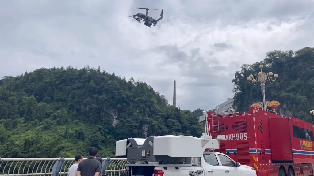
Following a landslide in Pengshui County, Chongqing, on July 17, JOUAV deployed a vehicle-mounted autonomous drone hangar to provide local emergency authorities with rapid aerial reconnaissance and real-time 3D mapping.
The deployment utilized the JOS-P200 system, enabling response teams to launch an aerial mission within minutes of arriving on site. Within approximately one hour, responders obtained high-resolution aerial imagery and a detailed 3D model of the affected area, providing the command center with an updated understanding of terrain conditions, landslide boundaries, and potential secondary hazards where ground access was restricted.
At the core of the operation was the JOS-P200 Real-Time 3D Mapping System, which integrates a PH-10H multirotor Uncrewed Aerial Vehicle (UAV), remote-sensing payloads including Electro-Optical/Infrared (EO/IR) gimbals and oblique cameras, a broadband communications link, and a mobile edge-computing workstation. Unlike conventional mapping workflows that require post-processing after landing, the platform performs data acquisition, transmission, processing, and model generation simultaneously, continuously generating orthomosaics, Digital Surface Models (DSM), and textured 3D models while the UAV remains airborne.
The platform delivers a spatial resolution of up to 10 centimeters and can model a one-square-kilometer disaster area in less than five minutes. By combining live video streaming, edge computing, and AI-assisted analysis, emergency personnel can perform object recognition, 3D measurements, spatial analysis, and collaborative annotation directly within the live 3D environment. Responders can identify roads, buildings, vehicles, forests, waterways, and other critical features to evaluate access routes, define hazard zones, and integrate field sensor data into a unified operational picture.
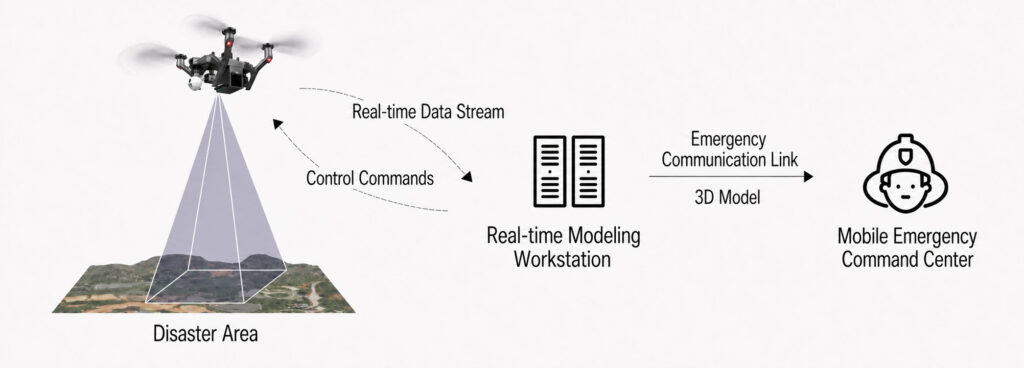
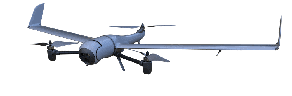
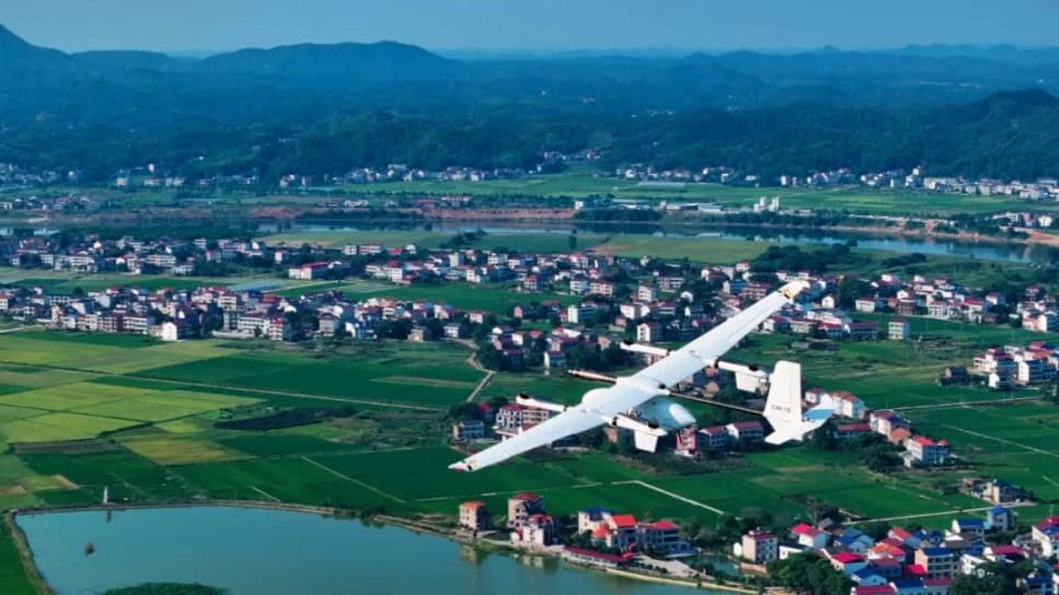
While the vehicle-mounted multirotor system supports rapid deployment at the disaster site, JOUAV also offers a real-time 3D mapping solution based on its CW-15 Vertical Take-Off and Landing (VTOL) UAV for larger affected areas. The configuration supports long-range Beyond Visual Line of Sight (BVLOS) operations across complex terrain while continuously transmitting mapping data to a mobile processing terminal for live scene reconstruction.
In a recent deployment, a CW-15 UAV equipped with a five-camera oblique mapping payload transmitted data in real time and generated a detailed 3D model covering 2.18 square kilometers approximately five minutes after data acquisition.