


YellowScan has introduced Voyager, a powerful LiDAR scanning system for fixed-wing and multirotor UAVs (unmanned aerial vehicles) that is the company’s longest-range solution to date. Able to capture complex and vertical targets, Voyager features a data acquisition rate of up to 1800 kHz and accuracy down to 1cm, making it ideal for professional applications requiring the highest possible point density.
With a wide field of view, all 1.5 million points per second are oriented towards the ground, making all points entirely usable. Detection and processing of up to 15 target echoes per laser pulse also provides unparalleled vegetation penetration.
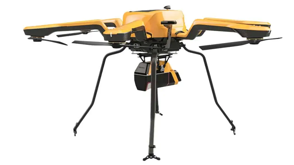
Voyager can be configured to suit a variety of different platforms and mission requirements. It can be complemented with a full suite of software solutions for easy extraction, processing, merging, and colorizing of pointcloud data.
Key specifications of Voyager include:
Maximum range: 760 m
Weight (excluding battery): 3.5 kg
Power consumption: 55W
Scanner FOV: 100°
Scanner pulse repetition rate: Up to 1800 kHz
Precision: 0.5 cm
Accuracy: 1 cm


