




Archimedes Innovation examines the use of tightly coupled GNSS/Inertial Navigation System (INS) integration for high-precision autonomous vehicle positioning, particularly in environments where satellite signals are obstructed or affected by interference. Read more >>
The company outlines the principles of Global Navigation Satellite System (GNSS) positioning, the limitations of conventional approaches, and the role of integrated navigation in L4 autonomous driving applications.
GNSS receivers calculate their position using satellite signal measurements, with at least four satellites used to determine three-dimensional coordinates and receiver clock bias through conventional positioning. Carrier-phase measurements, differential corrections such as those used in Real-Time Kinematic (RTK) positioning, and multi-frequency error mitigation techniques can improve accuracy from meter-level to centimeter-level. However, signal blockage, multipath interference, and atmospheric delays can affect raw measurements, resulting in positioning errors, particularly in urban environments.
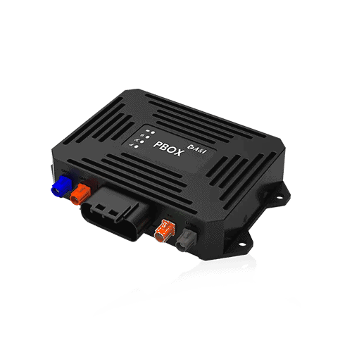
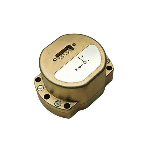
The Archimedes Innovation PBOX tightly coupled navigation receiver combines multi-frequency, multi-constellation GNSS observations with Inertial Measurement Unit (IMU) data through a tightly coupled Kalman filtering architecture. It simultaneously tracks GPS, BeiDou, and Galileo signals, integrating raw pseudorange, carrier-phase measurements, Doppler, and IMU angular velocity and acceleration measurements in a unified state space. The receiver can maintain decimeter-level accuracy with as few as two satellites using IMU constraints. Its real-time RTK and ambiguity resolution engine features the proprietary ARIA algorithm, with a reported RTK fix rate exceeding 97% in urban canyons.
Field tests conducted in Shanghai, in an urban environment combining high-rise buildings and elevated roads, reported PBOX open-sky positioning accuracy of 2.1 cm with RTK fixed, compared with 1.2 m for conventional GNSS. The tests also reported higher urban canyon availability and lower positioning drift after tunnel exit for PBOX compared with conventional GNSS.
Read ‘How Vehicles Determine Their Position’ for more information.