Read the full case study on SatLab’s website > >
The case study explores:
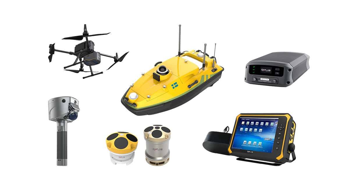
- High-precision positioning and UAV technology
- How onboard RTK technology works
- Setting-up workflow for drone mapping
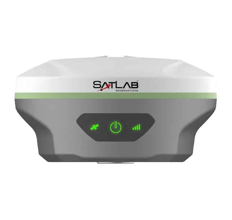
High-precision positioning and navigation is a critical to UAV’s regardless of the applications. Different from traditional drone surveying, the emergence of RTK technology such as the Freyja GNSS receiver improves the work efficiency by offering real-time, highly-accurate position solutions for drone surveying, and ensuring a safer and more stable flight.