
RTKdata supplies AeroAg Drone Services with cloud-based NTRIP RTK corrections for its routine agricultural drone operations across South Dakota, North Dakota, and Minnesota. Read more >>
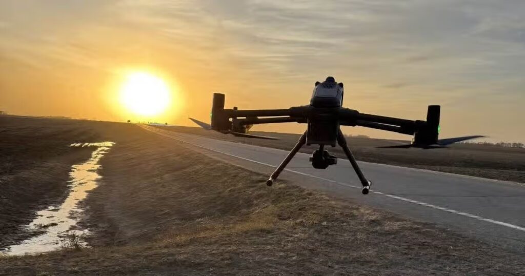
Founded by military veteran Mel LeVeque, AeroAg uses a fleet of DJI Matrice 400 drones to collect georeferenced imagery for TerraClear’s rock and weed mapping workflows. Maintaining an RTK fix allows image locations to be recorded with horizontal accuracy of 1 to 2 cm, enabling TerraClear to associate detected rocks and other mapped targets with precise field coordinates for use by skid-steers and ground crews.
AeroAg moved to RTKdata after a previous correction service failed to converge during a time-sensitive mapping assignment. The interruption left five pilots unable to complete planned flights for three days, resulting in an estimated $37,500 in missed revenue and travel costs, as well as damage to the customer relationship. From beginning the search for an alternative provider to having a pilot airborne with a valid RTK fix took approximately 10 minutes.
The current configuration delivers RTCM 3.2 corrections to the Matrice 400 fleet through internet connections that include a truck-mounted Starlink uplink and 4G/LTE backup. AeroAg uses the corrected imagery within TerraClear’s rock and weed mapping workflows, while the same RTK service supports chemical application flights by helping the drones maintain repeatable lines and limit overspray or missed strips.
AeroAg is preparing for a 200,000-acre mapping engagement north of Highmore, South Dakota, during the next operating season. Because the project lies near the edge of RTKdata’s optimal regional coverage, the company is supplying a base station to strengthen local correction availability.
The full article examines the service failure that prompted AeroAg to change providers, the technical setup used across its fleet, and the role of reliable centimeter-level positioning in large-scale agricultural drone operations.