In this article, Ben Gross at Elsight explains how Unmanned Aerial Vehicles (UAVs) equipped with the company’s Halo connectivity solution can boost the effectiveness of humanitarian response efforts.
Thanks to the rapid expansion of the drone industry, and the technological advantages and increased accessibility that have come with this, the use of UAVs (unmanned aerial vehicles) in the humanitarian and disaster relief sectors has skyrocketed in the last decade. Solutions for vital applications such as mapping, surveying, and delivery of emergency supplies are now within reach of not only government agencies, but charities and other NGOs (non-governmental organizations) too.
The positive impact of drone technology on the efficiency and speed of response of these critical missions is due to a number of advantages that drones possess over more traditional methods. Unmanned aircraft are quick to deploy and may be able to reach remote areas quicker than manned aircraft, helicopters, and trucks, particularly where the terrain is treacherous. They may also be the only viable option in cases such as warzones, devastated urban areas, and pandemics, where sending in human personnel could carry great risk.
Small electrically powered unmanned aerial systems (UAS) are also cheaper to acquire and operate than regular aircraft, particularly as fuel prices continue to increase. Drones with high levels of automation and flight-assisting technologies do not require highly trained operators – the time taken to learn how to fly one of these platforms is much less than the time investment required to become an airplane or helicopter pilot.

How drones can boost the effectiveness of response efforts
Unmanned aircraft are ideal for undertaking a wide range of humanitarian and disaster relief missions. One such application that has already seen a number of successful trial programs is the delivery of critical supplies for both emergency and ongoing health programs. Vaccines, food, first aid kits, and blood are all highly suited to drone delivery and can be delivered by parachute from a fixed-wing UAV, or by a quick-release tether system or physical landing using a VTOL UAV. If a multirotor or helicopter UAV is able to land, it may also be able to retrieve payloads from the drop zone such as medical diagnostic samples.
Drone-based mapping is an essential tool that allows responders to assess the damage and get the lay of the land, particularly in developing countries that may not have high-quality and up-to-date maps available, or where damage has been so severe that landscapes, buildings, and infrastructure have been significantly altered. The orthophotographic data required for useful digital maps can be gathered and processed in a matter of hours or even minutes, providing essential situational awareness for personnel on the ground.
Both visible and thermal sensors can be integrated into drone platforms and used to spot a variety of objects from the air, including collapsed buildings and structures, missing persons, and wildfires. Artificial intelligence and computer vision software can be used in conjunction with this capability in order to classify and identify objects and features in much less time than human observers, allowing actionable intelligence to be gathered and passed to ground teams much more quickly.
Mapping, surveying, and image analysis are also highly useful for disaster preparation as well as response. For example, mapping of areas around river basins and large bodies of water could help identify buildings, infrastructure, and farmland that are most vulnerable to flooding, thus informing priorities and response strategies.
While image analysis can be performed in-flight by onboard embedded computing systems, this process can be power-hungry, especially when running compute-intensive AI algorithms. Smaller drones with lower power budgets may have to return to base so that data can be retrieved and analyzed post-mission. If results are required urgently and this process is too slow, then the drone may have to transmit data back to base over a wireless data link while the mission is still ongoing. The ability to transmit is also crucial for applications that require a human observer to monitor a video stream of the area of operations.
Cellular connectivity for humanitarian applications
The vast majority of small to medium drone platforms that are typically used for humanitarian applications use traditional RF (radio frequency) data links for command and control, as well as for transmitting data back to the ground control station. RF data links require radio line of sight in order to maintain contact with the drone, which can be tricky in areas such as mountainous regions and built-up urban environments. They also come with a trade-off – while lower frequency radio waves can provide significant operational ranges of several dozen kilometers, they also deliver a lower bandwidth, which may mean insufficient throughput for data-intensive applications such as streaming video or gathering large images for map creation on-the-fly. Higher-frequency datalinks have the opposite trade-off issue.
SATCOM (satellite communications) systems can provide connectivity almost anywhere in the world, and as the signals are being broadcast up into the sky, do not suffer from being blocked in the horizontal direction. However, SATCOM terminals are too bulky for many smaller UAV platforms. They also require a subscription service, and while governments may be able to pay out, many NGOs will not be able to weather the cost.
Cellular communications are relatively inexpensive, and if you are operating in an area with existing infrastructure, can provide the necessary bandwidth for the applications mentioned above. Even if the infrastructure required for connectivity has been destroyed or never existed in the first place, all may not be lost – mobile cell service restoration solutions, provided by entities such as the Vodafone Foundation, have been developed specifically for emergency response and humanitarian relief situations.

A SWaP-optimized and secure solution for cellular communications
Whether the task at hand is medical delivery, search, and rescue, or precision mapping, drones undertaking critical missions where time is of the essence need a reliable connectivity solution. Elsight’s Halo connectivity platform provides a number of key advantages for developers and systems integrators looking to take advantage of cellular communications.
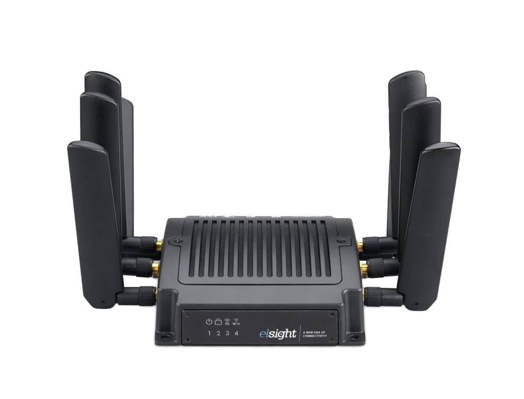
The Halo hardware is lightweight, low-profile, and optimized for UAVs with a low power budget. Featuring the ability to aggregate up to four separate cellular connections into one link, it provides the reliability and redundancy that is essential for mission-critical applications. The Halo data link is also fully secure, which is an important ethical concern, especially when operating in conflict zones.
Halo is also an essential asset for BVLOS (beyond visual line of sight) flight, which could enable more complex missions in hazardous or unreachable terrain.