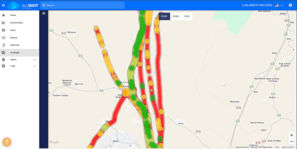
Elsight has launched HeatSight, a signal strength mapping tool designed to deliver reliable cellular coverage data for more effective and safer UAV flight planning.
HeatSight enables cellular coverage mapping of drone-flying altitudes by providing time-aggregated, altitude-based heatmaps. It reveals where and when coverage thrives or falters across four dimensions: longitude, latitude, altitude, and time.
Similar to modern traffic apps that help motorists avoid congestion, HeatSight assists UAV operators in detecting areas with stronger cellular signal coverage, ensuring safer and more reliable flights. HeatSight is available to Elsight’s AllSight management platform customers.
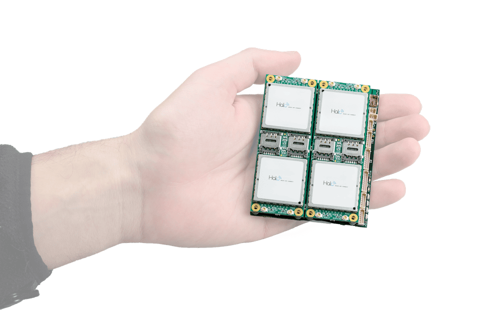
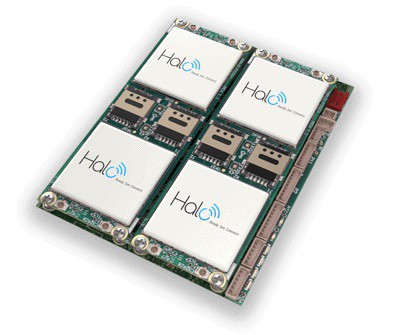
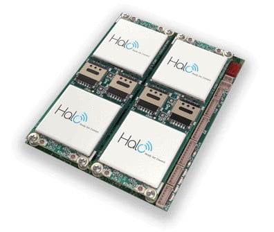
HeatSight leverages Elsight’s beyond visual line-of-sight (BVLOS) Halo connectivity technology to record multiple RF parameters during every flight, for each cellular network, and across different altitudes and times.
The data is uploaded to Elsight’s AllSight Cloud Management platform, where it is aggregated over time to provide a continuously evolving picture of the network coverage landscape.
Yoav Amitai, CEO of Elsight, said, “Think about using Waze to determine your best routes, HeatSight gives your UAV operators the data on the paths of strongest cellular coverage for your BVLOS missions. It’s not only about static information, but operators may discover that certain areas are experiencing signal congestion during specific periods or weather conditions which would enable them to adjust mission flight paths or times for uninterrupted connectivity.
“By producing a detailed and accurate data history of cellular coverage, HeatSight could simplify regulatory mandates dictating that UAV flights maintain ‘well-connected’ paths. Over time, HeatSight could be used as a revenue-generator tool for mobile operators to serve the UAV industry more effectively.”