Learn how to create high-accuracy 3D maps using a standard drone and ground control points, with precise coordinates measured by an ArduSimple RTK-calibrated surveyor kit. This guide shows how to achieve survey-grade results without an RTK drone. More information > >
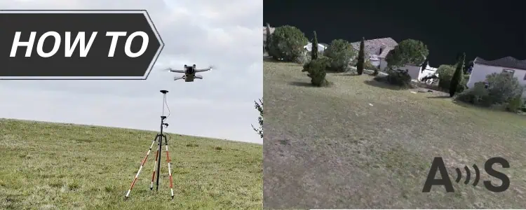
RTK drones embed highly accurate georeferenced coordinates into each image at the time of capture, significantly simplifying the mapping process. In contrast, non-RTK drones use consumer-grade GPS, which typically introduces positional inaccuracies of several meters. To correct these discrepancies, GCPs are used as external geospatial references. These are physical markers placed in the mapping area whose exact coordinates are measured using an RTK-calibrated surveyor kit. When processed within photogrammetry software, these known reference points allow for precise spatial correction across the entire map.
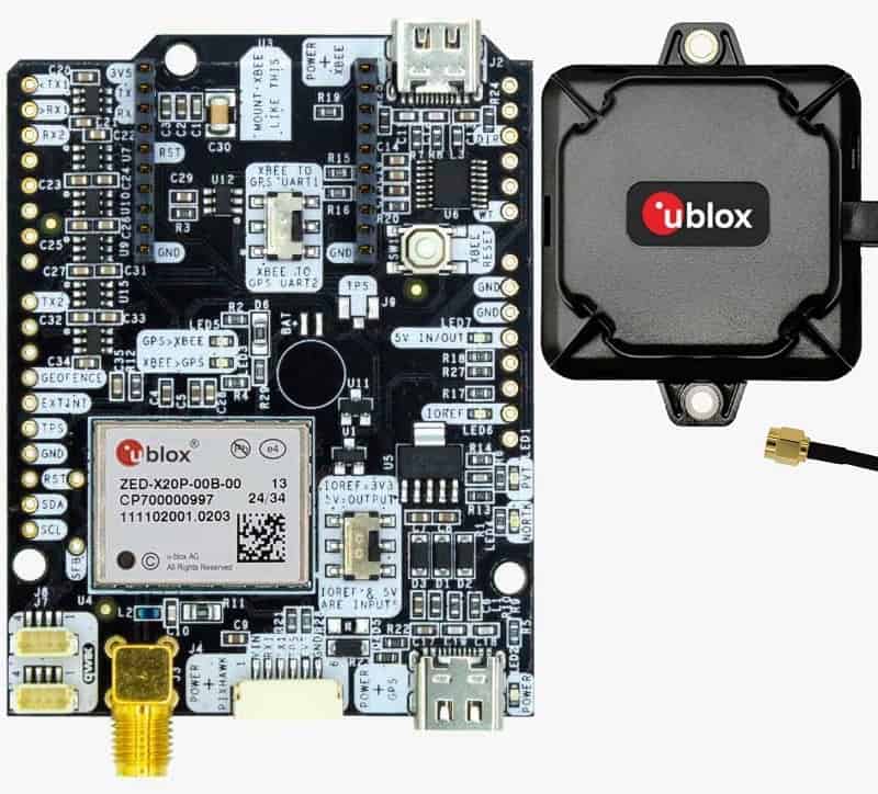
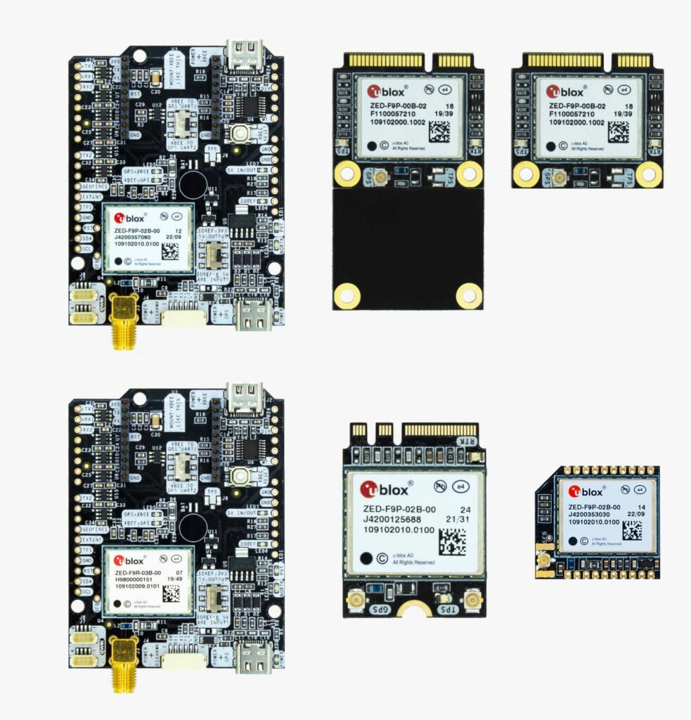
To get started, you will need the following equipment: a drone with a camera and SD card, a smartphone, a computer, physical ground control point targets, and an RTK-calibrated surveyor kit for capturing accurate ground coordinates. The software stack includes SW Maps for recording GCP locations, Dronelink for planning and automating flight missions, and WebODM for processing aerial imagery into 2D and 3D outputs. WebODM is a powerful open-source photogrammetry engine that can be self-hosted or accessed via a commercial cloud version, which simplifies setup for non-technical users.
The workflow involves placing GCP targets across the survey area, measuring their exact positions using the RTK surveyor kit and logging the coordinates in SW Maps. You then fly a structured grid mission using your drone and capture high-resolution overlapping imagery. The photos, along with the recorded GCP data, are imported into WebODM for processing. By aligning the imagery to the known GCP coordinates, WebODM can generate orthomosaics, point clouds and digital elevation models with centimeter-level accuracy, despite the original GPS limitations of the drone.
With careful execution and attention to detail in every step of the process, this method allows users to bypass the cost barrier of RTK drone systems while still producing professional-quality geospatial datasets suitable for surveying, construction planning, volumetric analysis and more.