Forestry, Agriculture & Farming News & Articles

Auterion Powers Smart Agriculture & Infrastructure Drones in Japan

Auterion has partnered with NTT e-Drone Technology to accelerate the development of drone technology that will help tackle major social...

Jul 20, 2021
Long Range Remote Control for Heavy Equipment

Creative robotics engineering company GESAR Inc can convert existing heavy plant machinery into remote controlled robots, with or without video....

Jul 15, 2021
Industrial Mapping & Surveying Drone Line Unveiled

New line of industrial VTOL drones will provide surveying professionals with powerful new technology that will enable more efficient, high-accuracy operations with enhanced safety.

Jul 07, 2021
YellowScan Selects New UK Distribution Partner

YellowScan has selected Aetha as the newest addition to its global network of distributors of UAV (unmanned aerial vehicle) LiDAR...

Jun 18, 2021
Integrated Drone LiDAR Solution Unveiled

YellowScan and Acecore Technologies have collaborated to develop a fully integrated UAV (unmanned aerial vehicle) LiDAR solution that combines the...

Jun 02, 2021
Inertial Navigation Systems for Road Surveys

OxTS has released an article explaining why inertial navigation systems (INS) are a critical part of high-precision road surveying. INS...

May 19, 2021
Autonomous Agriculture Solutions Under Development

Trimble has entered into a collaboration with HORSCH in order to develop autonomy solutions for agriculture, with a focus on...

Apr 20, 2021
Automated Drone Fleet Solution Launched

Parrot has partnered with UAV (unmanned aerial vehicle) technology provider High Lander to provide a new all-in-one professional automated drone...

Apr 14, 2021
YellowScan Selects New Canadian Distributor

YellowScan has entered into a new distribution agreement with Measur, who now distribute all of YellowScan’s UAV (unmanned aerial vehicle)...

Apr 09, 2021
Compact, Lightweight UAV LiDAR Introduced

CHC Navigation (CHCNAV) has announced the release of the AlphaAir 450 (AA450) LiDAR system. The lightest, most accurate UAV LiDAR...

Apr 01, 2021
Lightweight GNSS-Aided INS Introduced for UAV Applications

Oxford Technical Solutions (OxTS) has launched the latest in the company’s line of inertial navigation systems (INS). The xNAV650 is...

Mar 22, 2021
Selecting the Right LiDAR System

LightWare LiDAR has released an article outlining some of the considerations users should take into account when selecting a suitable...

Mar 12, 2021
High-Resolution LiDAR UAV Developed for Surveying

Microdrones has unveiled the latest in its range of UAV (unmanned aerial vehicle)-based LiDAR surveying systems, the mdLiDAR1000HR aaS. The...

Feb 15, 2021
Miniature LiDAR Sensor Selected for Autonomous Scanning System

Velodyne Lidar has entered into an agreement to provide its Puck LITE LiDAR sensors to Emesent, developers of the Hovermap...

Jan 30, 2021
Smart Antennas Introduced for Agricultural Robotics Autosteering

Harxon has introduced a new family of smart GNSS antennas designed for robotics applications such as autosteering in autonomous tractors...

Jan 17, 2021
Draganfly Commander Drones Selected by US Department of Agriculture

Draganfly’s Commander drones have been selected by the US Department of Agriculture for use in phenotyping and other related data...

Jan 05, 2021
Key Trends for Drones in the Agricultural Sector

SOARIZON has released the following article that outlines key trends for UAV (unmanned aerial vehicle) usage in agriculture. SOARIZON is...

Nov 24, 2020
DJI Unveils New Agricultural Spraying Drone

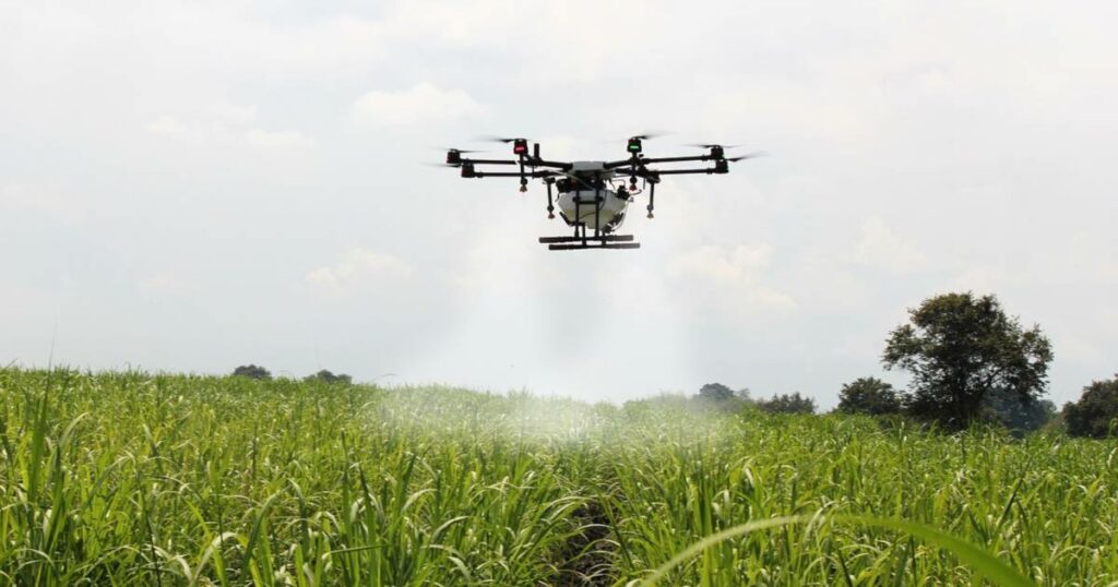
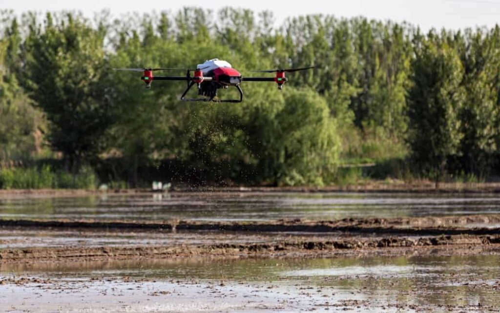
DJI has unveiled the Agras T20, a high-performance and intelligent precision agriculture drone designed for spraying applications. The autonomous UAV...

Nov 21, 2020
YellowScan Launches Updated UAV LiDAR System

YellowScan has launched the new updated version of its Mapper LiDAR solution for UAVs (unmanned aerial vehicles) , which now...

Oct 19, 2020
PolyExplore Unveils High-Precision UAV LiDAR Mapping System

PolyExplore has unveiled the Polyscanner LS1, a high-precision LiDAR mapping system designed for UAVs (unmanned aerial vehicles) and other aerial...

Sep 22, 2020
Autonomous Positioning and Sensing Kits for Agriculture Launched

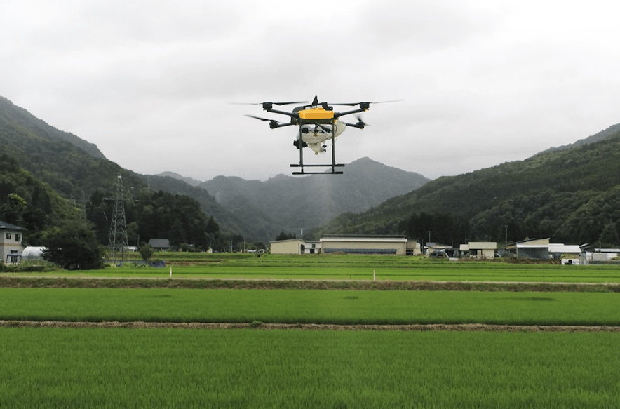
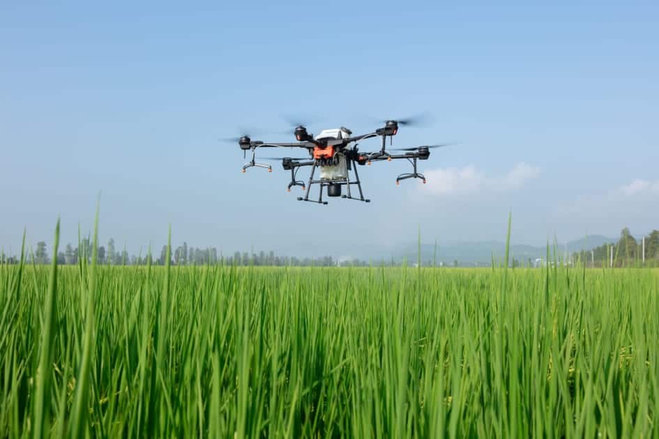
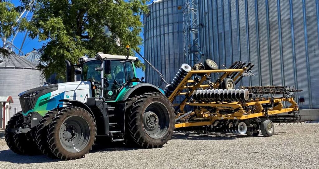
Hexagon’s Autonomy and Positioning division has launched a new series of autonomy positioning and sensing kits for agricultural applications, through...

Sep 12, 2020
YellowScan Develops Long-Range UAV LiDAR Mapping Solutions

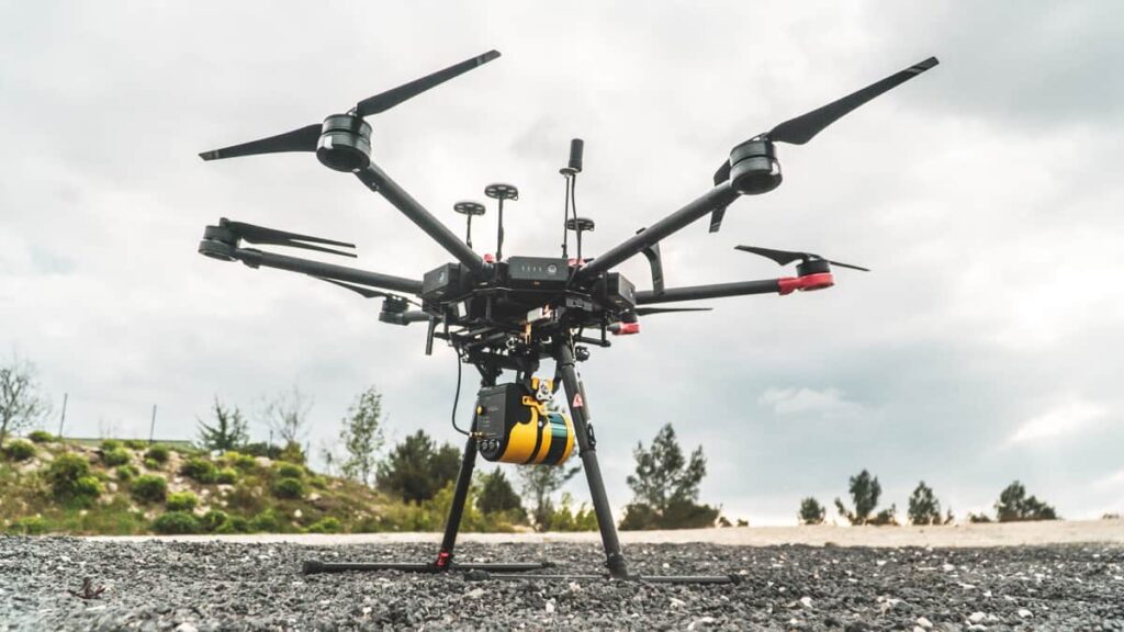
YellowScan, a leading developer of professional integrated UAV (unmanned aerial vehicle) LiDAR surveying solutions, has partnered with Unmanned Systems Technology...

Sep 10, 2020
RIEGL Provides Drone LiDAR Mapping & Surveying Solutions

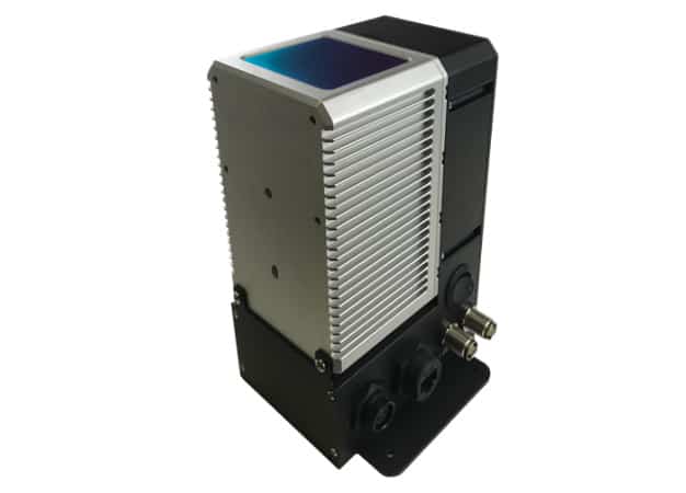
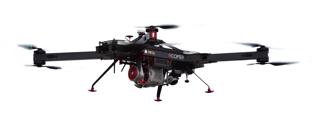
RIEGL, a leading developer and manufacturer of professional solutions for UAV (unmanned aerial vehicle)-based LiDAR surveying, has partnered with Unmanned...

Jun 05, 2020
Automated Rice Seeding Drone Introduced

XAG has demonstrated direct rice seeding via unmanned aerial vehicle (UAV), as part of an initiative to offset labour shortages...

May 27, 2020
Article: Using ROVs for Aquaculture

Deep Trekker, a manufacturer of ROVs (remotely operated vehicles) and underwater robotics systems for a variety of commercial, research and...

Apr 04, 2020
Case Study: Autonomous Solutions for Precision Agriculture

Inertial Labs, a developer of advanced inertial sensing technologies, has released a case study outlining how autonomous solutions can be...

Mar 18, 2020
Advancing Unmanned Systems Through Strategic Collaboration UST works with major OEMs to foster collaboration and increase engagement with SMEs, to accelerate innovation and drive unmanned systems capabilities forward.