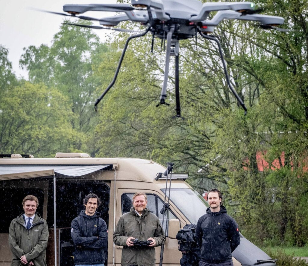
Acecore Technologies, a developer of durable VTOL drones for security and surveying applications, is supplying a fleet of unmanned aerial systems (UAS) to the Royal Netherlands Army.
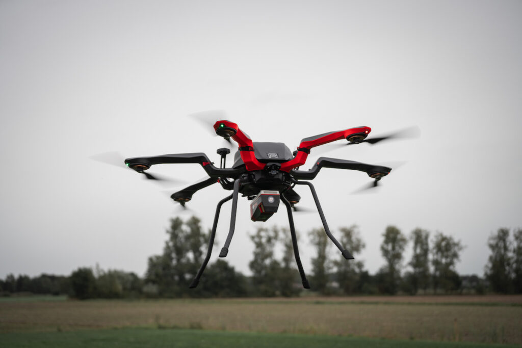
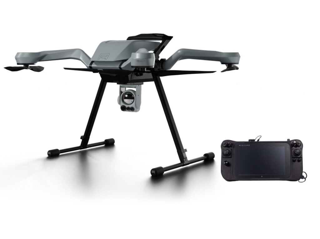
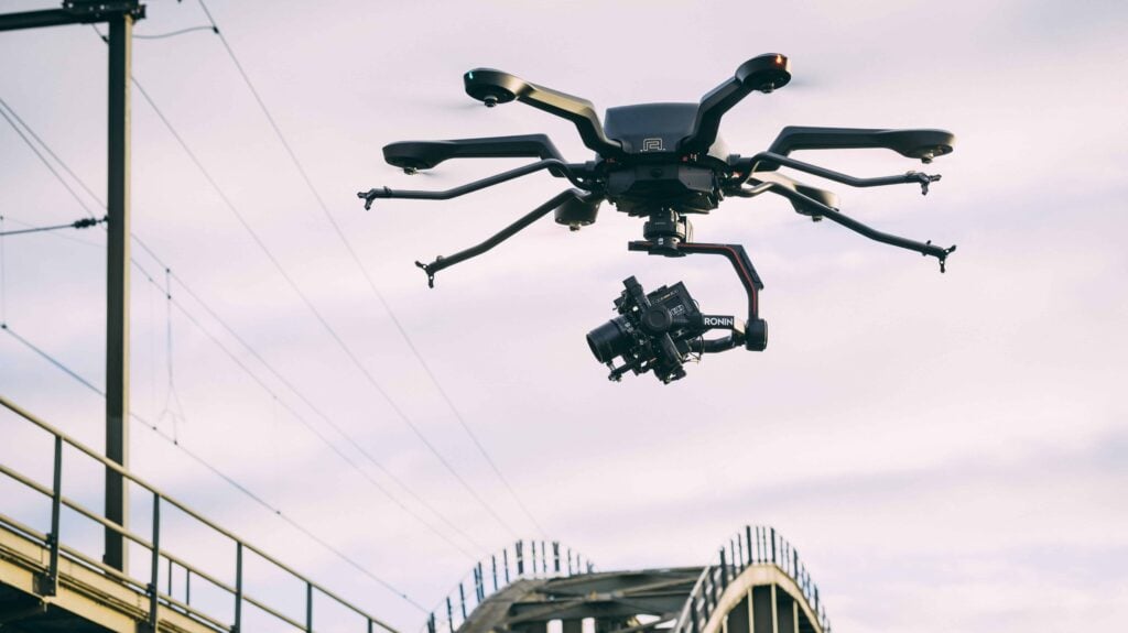
The systems feature the Acecore Zoe M4 quadcopter, equipped with both LiDAR and RGB payloads, along with onboard processing software for generating real-time 2D and 3D maps.

These high-resolution maps support engineering teams in the field, offering detailed situational awareness to help evaluate terrain features such as the structural integrity of bridges ahead of troop movements.
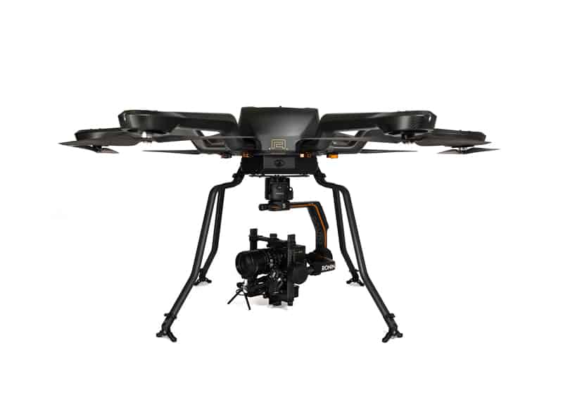
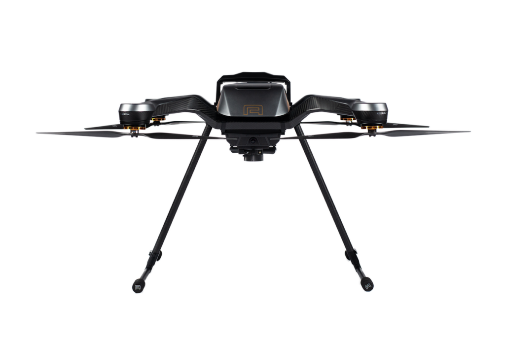
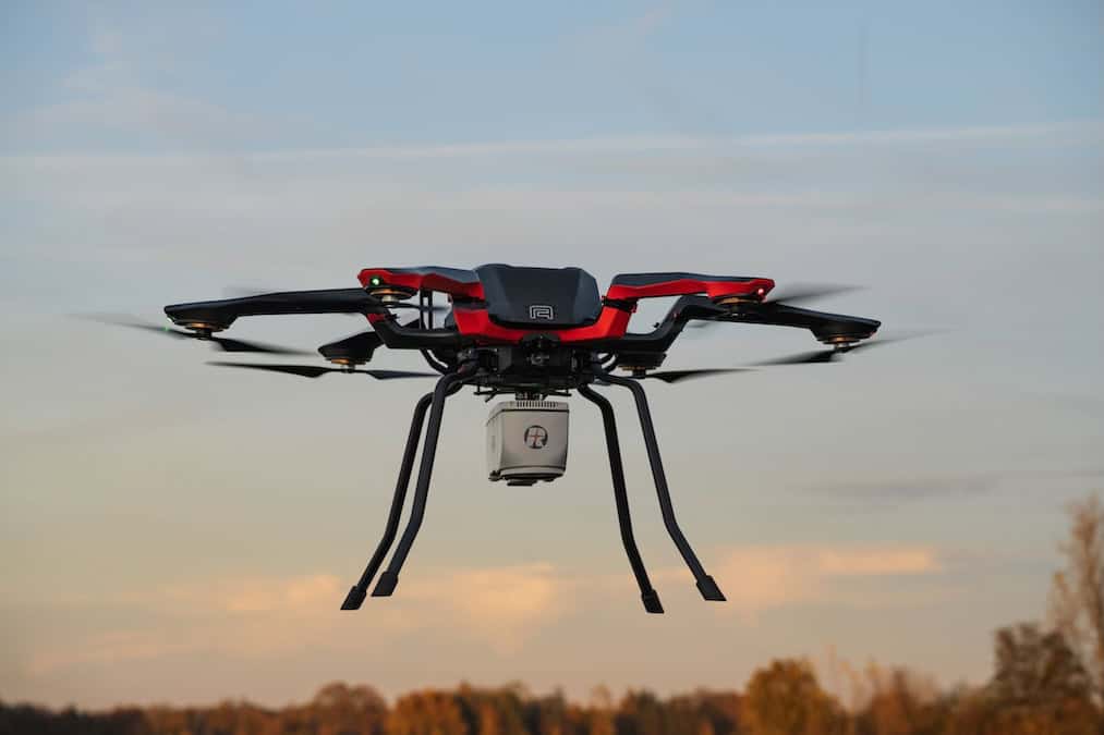
The Zoe M4 is a rugged military quadcopter designed for defense and civil applications, delivering enhanced performance, redundancy, and extended endurance.
The M4 is equipped with the NextVision Raptor X80 sensor as standard, delivering stabilized EO/IR imagery with 80x zoom and a 1280×720 thermal resolution, enhancing its utility for reconnaissance and surveillance tasks. To meet the specific mission requirements of the Royal Netherlands Army, the X80 has been replaced with a LiDAR/RGB sensor.
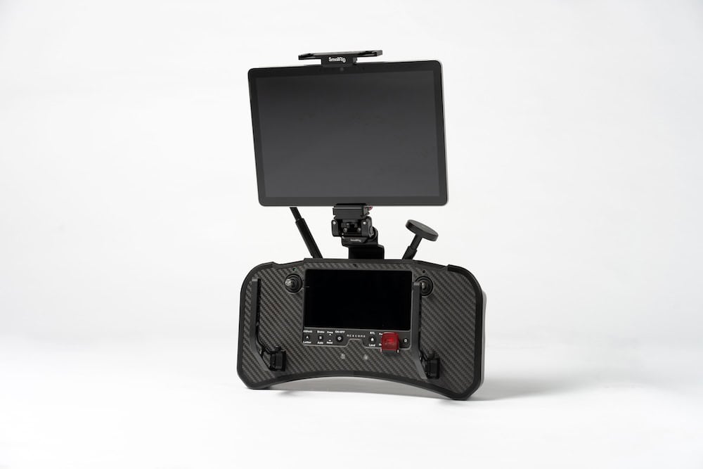
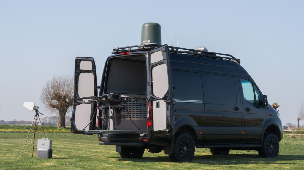
Flight control is managed via the Acecore Signav Ultra ground station, with users able to select from a range of communication options, including the Persistent Systems MPU5, Silvus Streamcaster, or Doodle Labs smart radio.
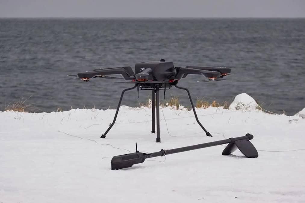
In addition to military engineering support, the Zoe M4 is well-suited to missions such as search and rescue, emergency response, aerial inspections, and surveying, making it a versatile tool for both defense and civilian applications.