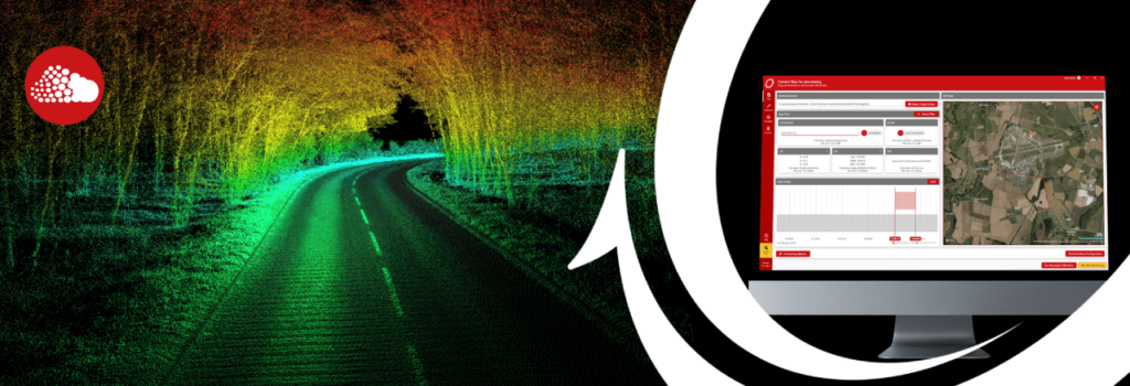

Join OxTS Survey Product Engineer, Jacob Amacker, as he walks attendees through the latest enhancements to our LiDAR georeferencing software, OxTS Georeferencer 2.0!
Since its launch almost two years ago, OxTS Georeferencer has gone through some major updates. From the addition of a number of new LiDAR sensors to a range of usability enhancements, OxTS Georeferencer makes it easier than ever before to georeference LiDAR data.
During the webinar, which will take place at 14:00 hrs (GMT) on Tuesday, 15th March attendees will have the opportunity to learn more about:
- How OxTS Georeferencer has evolved since launch
- What the new features mean for professional LiDAR surveyors
- The benefits of using OxTS Georeferencer alongside an OxTS INS
The webinar is free to attend and all registrants will receive a copy of the recording after the event.
Register now to secure your place.