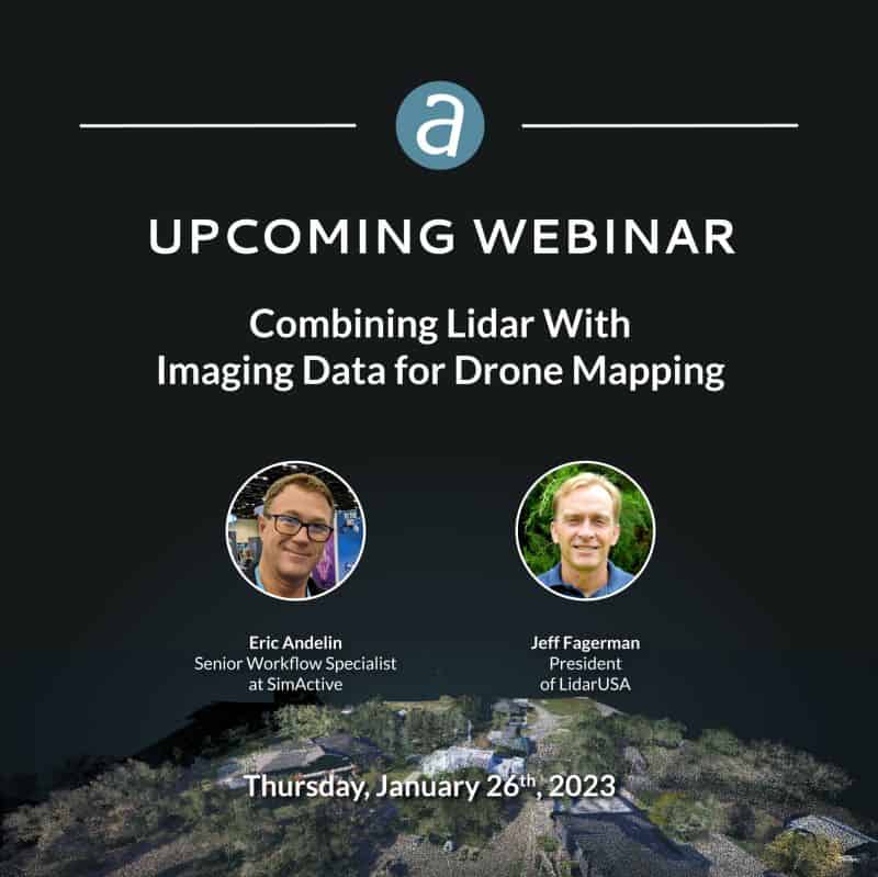
The integration of lidar and imaging systems has really taken off. Lidar sensor miniaturization, and the limitations placed on drone flight by the FAA have created opportune parameters for successful integrated sensor platform mapping. David Fagerman, a Pioneer in photogrammetry and lidar sensor integration joins us to discuss the advantages of each as well as the benefits of combining these in mapping applications. This webinar will discuss these combined sensor systems, how they can be used to facilitate faster processing, improve workflows, and create high quality deliverables.
Specifically, attendees will learn:
- Value of integrated lidar and imaging sensors
- Optimizing workflows with dual systems
- Using Correlator3D to confirm data accuracy
- Creating high-quality point clouds and mosaics
Hosted by Eric Andelin, Senior Workflow Specialist at SimActive
With guest speaker Jeff Fagerman, President of LidarUSA