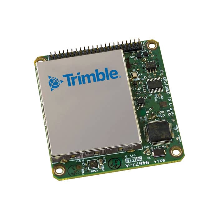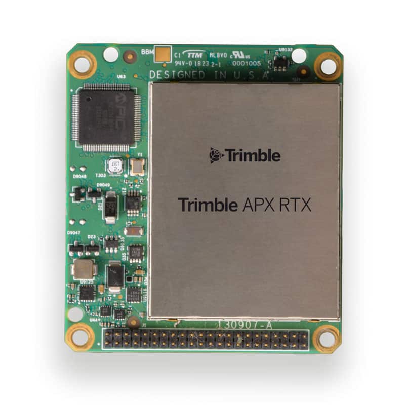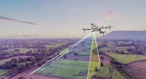
In the article Advanced DG solutions – raising the bar for map creation on the fly, Trimble Applanix explores how direct georeferencing (DG) is transforming UAV aerial mapping.
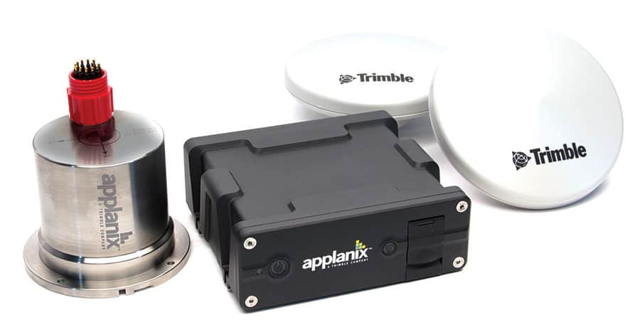
When global GNSS correction is combined with aided-inertial navigation systems (aided-INS), the technology enables centimeter-level accuracy without base stations or ground control points. Accurate map data can now be generated in real time during flight or automatically post-processed shortly after landing, streamlining workflows and reducing time in the field.
Why LiDAR and Cameras Work Better Together
While structure-from-motion algorithms can build 3D models from 2D images, they struggle in areas with vegetation, water, or utility infrastructure. Combining LiDAR with DG provides direct and reliable 3D measurements, and pairing it with cameras or hyperspectral imagers allows point clouds to be colorized or ortho imagery to be corrected for distortion — enhancing both detail and precision.
Cloud Processing Reduces Field Time
Trimble’s POSPac Cloud® PPK engine, combined with Trimble CenterPoint® RTX corrections and integrated into DroneDeploy’s platform, enables post-processed centimeter-level accuracy via a cloud-based workflow. When dual-frequency GNSS data is logged by the drone, corrections can be applied over satellite or IP, minimizing the need for ground control. This approach is especially effective for industries like construction, topography, and environmental monitoring, reducing setup time and accelerating data delivery.
Accuracy Without Complexity
By eliminating ground-based reference requirements and offering automated correction workflows, Trimble Applanix simplifies high-precision mapping. Designed to reduce the technical burden on users, the system enables results to be available within minutes of landing when properly configured. This combination of automation, speed, and accuracy is redefining how aerial data is captured and used.