


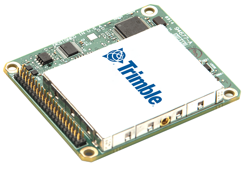
The Trimble APX UAV is a compact OEM GNSS-inertial solution engineered for professional UAV mapping. Its single-board architecture combines a survey-grade, multi-frequency and multi-constellation GNSS receiver with MEMS inertial components, delivering real-time and post-mission position and orientation data while keeping size, weight and power demands low. Direct Georeferencing enables accurate sensor positioning with a reduced or eliminated requirement for ground control points, while precise time tagging synchronizes mapping data to a shared time reference. The system supports cameras, LiDAR, SAR, hyperspectral, thermal and NI mapping sensors, enabling integration across varied UAV payload configurations.
APX UAV integrates with Applanix POSPac UAV Complete for GNSS-inertial post-processing, including support for CMR, CMR+ and RTCM corrections. Available POSPac capabilities include Post-processed CenterPoint RTX for centimeter-level results without base stations, photogrammetry tools for EO generation, IMU boresight calibration and quality control, plus LiDAR QC tools for trajectory adjustment and boresight calibration. Applanix IN-Fusion GNSS-inertial processing and SmartCal compensation technology support consistent georeferencing performance, while optional Trimble CenterPoint RTX™ provides centimeter-level real-time positioning and georeferencing. These capabilities can reduce sidelap, expand the area mapped during each flight, decrease ground-control survey requirements, improve LiDAR georeferencing and support higher-precision UAV landing applications.
| Position (m) | Velocity (m/s) | Roll & Pitch (deg) | True Heading (deg) | |
| APX-15 UAV | 0.02 - 0.05 | 0.015 | 0.025 | 0.080 |
| APX-15 EI UAV | 0.02 - 0.05 | 0.015 | 0.025 | 0.080 |
| APX-18 UAV | 0.02 - 0.05 | 0.015 | 0.025 | 0.080 |
| APX-20 UAV | 0.02 - 0.05 | 0.01 | 0.015 | 0.035 |





