




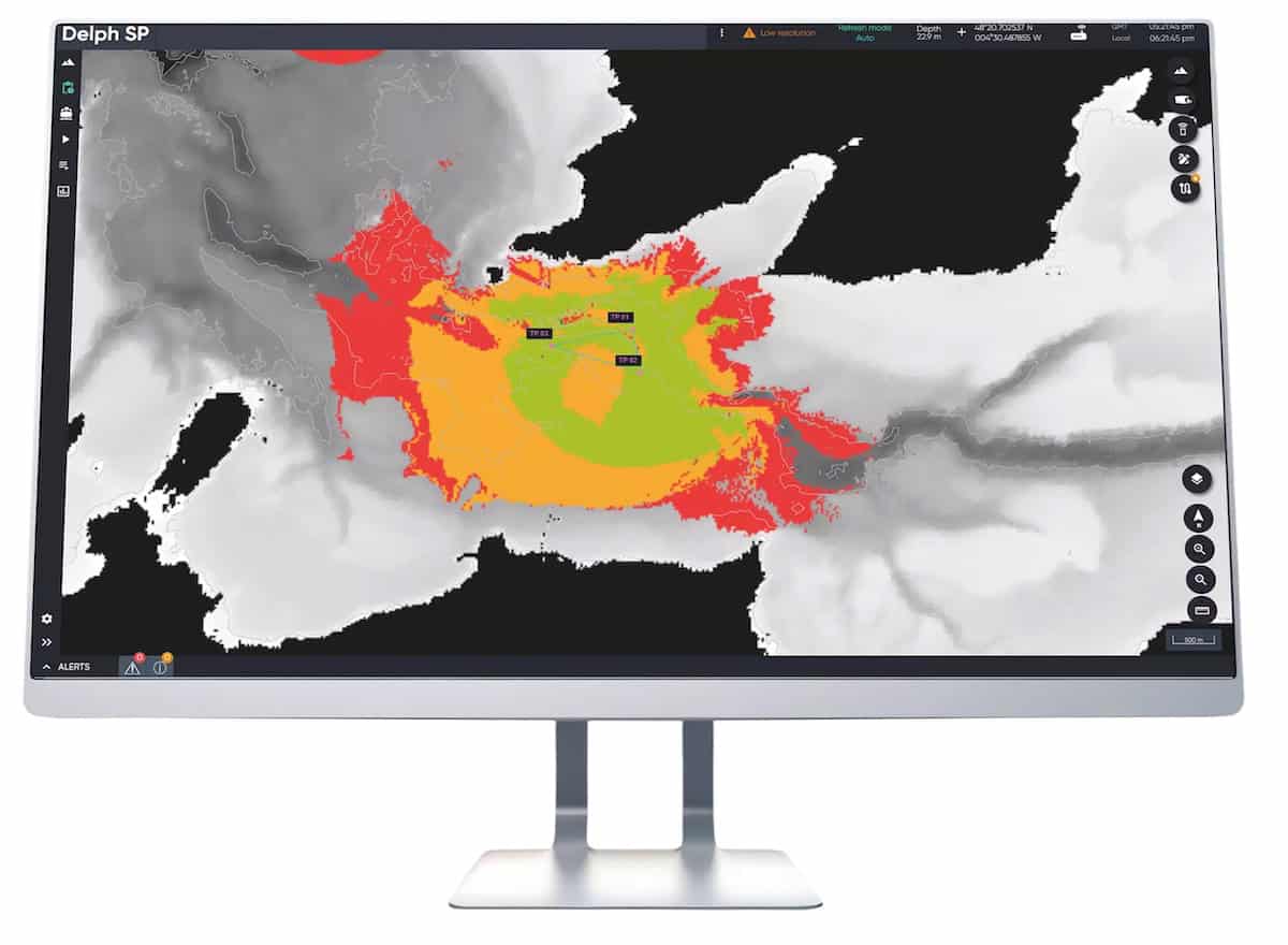
Delph Subsea Positioning is Exail’s integrated software suite developed for planning, operating, and post-processing subsea positioning and navigation missions. Designed to support the company’s full range of subsea positioning technologies, including Ramses, Canopus, and Gaps Series systems, the software simplifies complex underwater positioning workflows through intuitive planning, simulation, calibration, monitoring, and reporting tools. Combining user-friendly operation with advanced processing capabilities, Delph Subsea Positioning enables efficient management of subsea positioning tasks while helping reduce operational time and improving data reliability.
Structured around dedicated planning, operations, and post-processing modules, the software supports sound velocity profile management, visibility mapping, acoustic line-of-sight analysis, inertial navigation simulation, and long baseline calibration workflows. Real-time monitoring, automated reporting, filtering, and calibration functions streamline subsea operations while integrated post-processing tools improve navigation accuracy by combining INS data with aiding sensors such as GNSS, USBL, LBL, DVL, and depth sensors. Compatible with Windows-based environments, the software suite provides an efficient and scalable solution for ROV, AUV, tow fish, and offshore subsea positioning applications.





