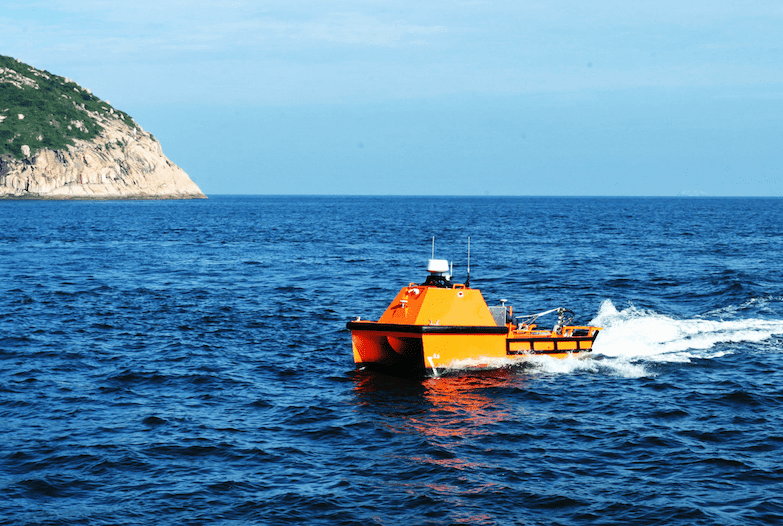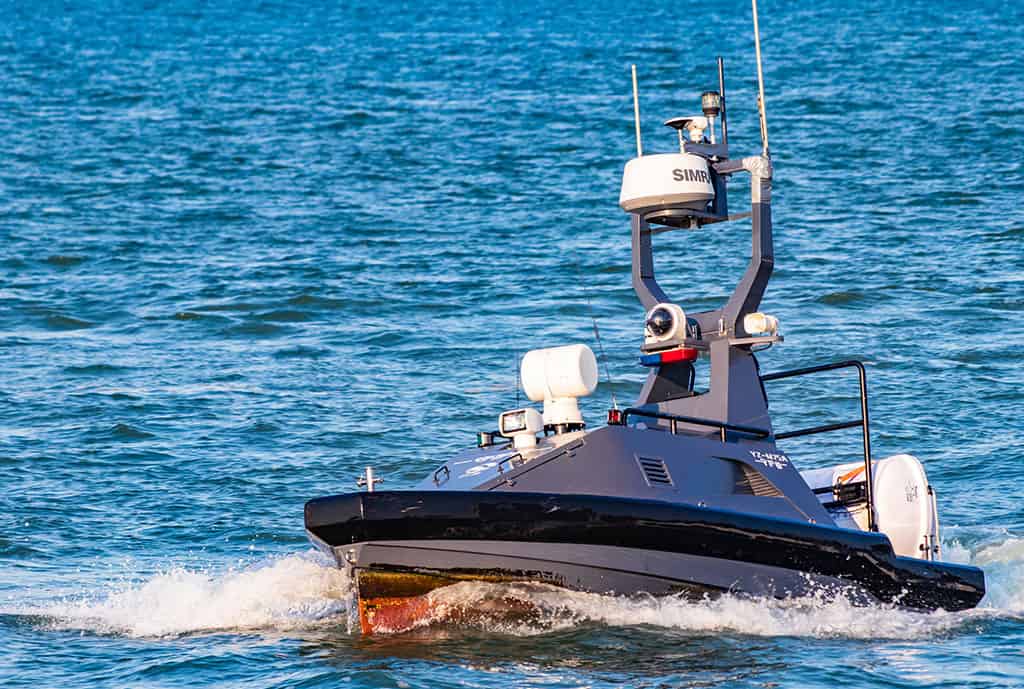

OceanAlpha’s ME120 unmanned surface vessel (USV) has been used to conduct bathymetric surveys in a high-salinity lake as part of a large-scale potash mining operation in China’s Xinjiang Uygur Autonomous Region.
Before it dried up, Lop Nur was the largest lake in northwestern China, and is currently a desert-like region with temperatures reaching over 40°C. Geologists have recently discovered a potash mine in the northern area of the dried-up lake that contains 12.2 billion tons of muriatic of potash, a potassium-containing salt used widely in the manufacture of fertilizer. It has been estimated that this mine could satisfy the whole world’s requirements for the mineral for more than 200 years.
The method of extraction used by the mining project involves extracting brine from the ground and discharging it into natural depressions so that evaporation can produce potash fertilizer. The area’s annual precipitation in Lop Nur is only 30 mm, while the annual evaporation using this method is as high as 4000 mm, which is very conducive to the crystallization of potassium salt.
The brine pumped from the ground forms a salt lake, with a water level that is constantly changing during the process of evaporation. In order to quickly and accurately calculate the storage capacity and crystallization amount of the lake, water depth and and underwater topography surveys must be performed regularly.
The OceanAlpha ME120 USV, equipped with a single-beam depth sounder, can conduct the required surveys autonomously, allowing personnel to operate the vessel remotely without being exposed to the extremely harsh temperatures. The anti-corrosion and anti-salt spray capabilities of the ME120 also make the vessel ideal for this project, as the salinity of the brine in Lop Nur is 353.46g/L, which is ten times that of seawater. Video and data can be reliably and efficiently transmitted via a private network, without having to rely on the poor public network communications in the remote basin.
The water level of the salt lake changes frequently, and due to their deep draft, manned ships cannot enter most shallow water areas and near-shore locations as there is a risk of stranding and damaging the survey equipment. With manned vessels, it is also difficult to maintain the same survey route every time, and the distance between each survey line is broad, leading to incomplete data acquisition and low data accuracy.
The shallow draft of the ME120 USV allows it to survey in extreme shallow water areas, reducing blind spots. GPS is used for automatic positioning that is accurately matched with the collected data. The gathering of more comprehensive and accurate data can help develop more reliable production and mining plans.