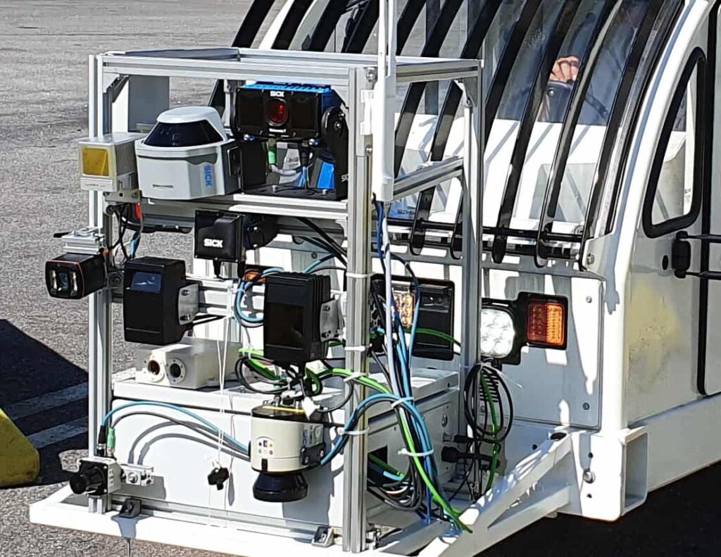
iXblue, via its Robopec robotics and AI division, has developed an advanced perception system for research and development of autonomous navigation for unmanned ground vehicles (UGVs). The system consists of a dozen different sensors mounted on a transportable chassis that can be rapidly deployed for use on industrial vehicles such as trucks or tractors or on vehicles of opportunity.
The array of sensors includes 2D and 3D LiDARs, 2D infrared and visible and 3D visible cameras, radar and an Atlans-A3 inertial unit. The sensors are connected to an industrial PC that synchronizes and records all data. The data can be used in conjunction with ROS (Robot Operating System) simulation and environment tools to evaluate and validate the performance of autonomous navigation solutions, testing criteria such as relative or absolute positioning, path finding, obstacle avoidance, and automatic detection of landmarks.
The system allows iXblue to validate sensor choices, characterize environmental for the particular application environment, and iron out technical risks early in development. It adds to the company’s portfolio of autonomous development capabilities that already includes multi-sensor data fusion, detection and tracking at sea, and dynamic path planning and obstacle avoidance for land and naval systems.
For more information on iXblue’s autonomous technologies for UGVs, view the product page for their Oryx Dronekit.


